Warm Springs Ridge
Total Miles
16.6
Technical Rating
Best Time
Summer, Fall
Trail Type
Single Track
Accessible By
Trail Overview
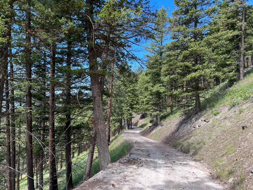
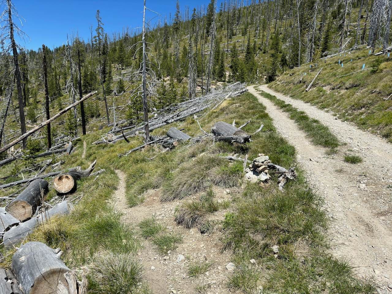
Warm Springs Ridge trail is a fun, high elevation single track Dirtbike trail. The trail may be more difficult riding from the north to the south (mostly uphill) than south to north (mostly downhill). This trail is a medium-difficulty ride where the first couple miles (south) and the last couple miles (north) are the most complicated. The center 10 miles or so of this ride are fairly smooth, flowy, and pretty easygoing. If you are starting from the south, you will be starting near Saddle Mountain behind Lost Trail Ski Area, accessed by taking the Saddle Mountain Trail. From Saddle Mountain Trail, you will need to jump onto Shields Creek Trail which can be very easy to cruise past. There are no signs at the beginning of Shields Creek Trail. One image included will be of the start of Shields Creek trail so you can get an idea of what to look for. The image is the only one with a trail wide enough for a full-size vehicle. Shields Creek is very narrow as well but you will need to ride it for about a mile before you can jump off onto Warm Springs trail. Like a lot of this area, Warm Springs starts out in an old burn area from the fires of 2000. There are still a lot of dead trees. A lot of them have either fallen or are ready to fall. This is a great place to have a saw, as you never know what trees might be lying across the trail. The trail is mostly dirt with a few rocky sections that don't last too long. There are many meadows you will ride across. The trail consistently cuts across steep meadows which aren't too sketchy, but it's easy to look away from the trail to check out the views and veer off the trail slightly, so watch out for that. If you decide the trail is too difficult, near the halfway point is a short trail called Andrews Creek Trail which will take you to a forest service road and then Highway 93. However, If you continue, once you get a couple of miles from the end (north) the trail starts with a few switchbacks which are fairly easy to ride. The trail also gets relatively wide for a short stretch. When you get near the last mile, you will be riding down fairly steep, sandy, and sharp switchbacks. Here you will also find if you aren't riding a switchback, you will probably be plowing through dense tree and bush limbs that have grown well into the trail. However, the views in this last section are great, so it's worth it. The last section also has a lot of those rubber water diversion things which can get a bit sketchy on a Dirtbike.
Photos of Warm Springs Ridge
Difficulty
This trail is intermediate due to the first couple of miles and the last couple of miles. You will ride a very narrow single track with a significant slope off the trail, sandy switchbacks, and obstacles like thick bushes and fallen trees. Otherwise, the center section of the trail is fairly mellow. There aren't any water crossings or muddy areas. Steep sections of the trail are minimal along with loose rocks, washes, and erosion.
Status Reports
Warm Springs Ridge can be accessed by the following ride types:
- Dirt Bike
Warm Springs Ridge Map
Popular Trails

Siegel Pass-Nine Mile Rd

Butler Creek Loop 456
The onX Offroad Difference
onX Offroad combines trail photos, descriptions, difficulty ratings, width restrictions, seasonality, and more in a user-friendly interface. Available on all devices, with offline access and full compatibility with CarPlay and Android Auto. Discover what you’re missing today!


