West Fork of Swamp Creek
Total Miles
4.3
Technical Rating
Best Time
Summer
Trail Type
Full-Width Road
Accessible By
Trail Overview
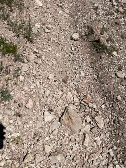
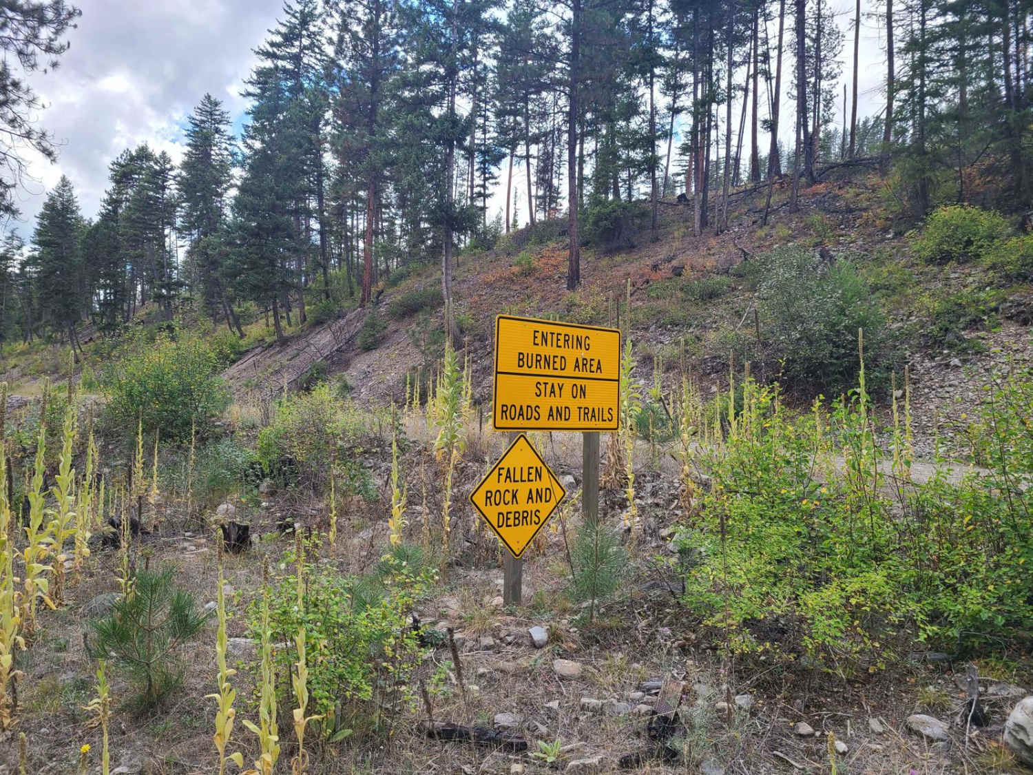
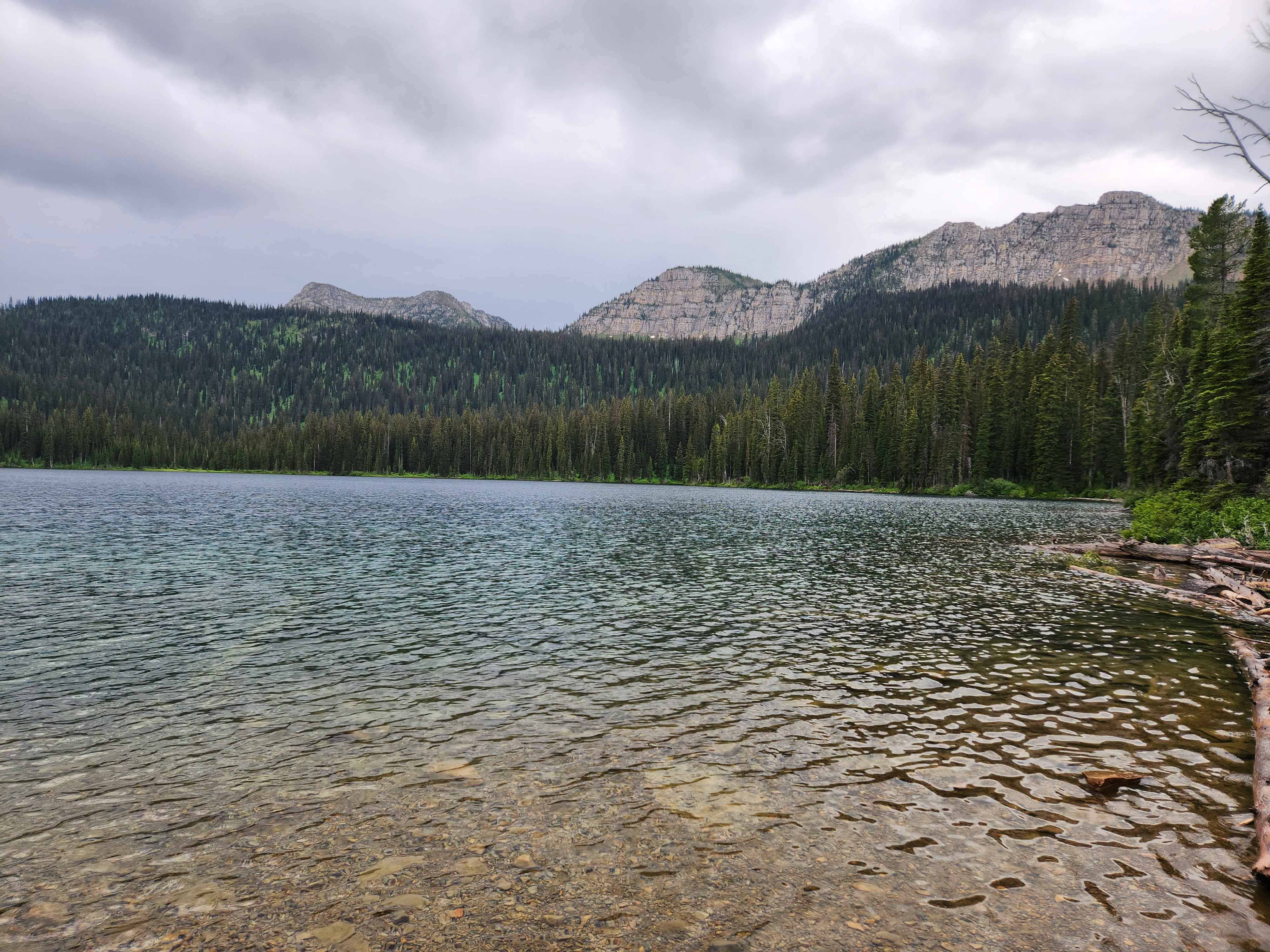
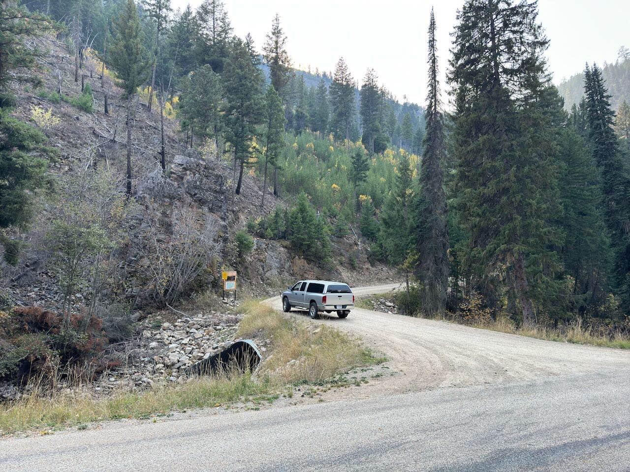
West Fork of Swamp Creek- FS 217 is a lightly traveled gravel road through Lolo National Forest west of Plains, Montana. Lower sections of the road have many ATV and motorcycle pathways from the main road. Be aware of private or prohibited activities and do not trespass. The road has received little maintenance past the Bemish Ridge turnoff and can have washouts and tree falls from a recent fire near the top. There is also a right-hand spur road that forks off near the end and enters a heavily burnt section that has been closed to use. It is easily traveled by all vehicles except when snow or ice covered. Brush will encroach on the roadway the higher you travel. The end of the road opens up into a meadow with a loop to turn around trailers and has several divergent hiking paths. This area has logging, hunting, and other activities present. There are seer, elk, bears, and small ground animals in the area, but no vault bathrooms or amenities.
Photos of West Fork of Swamp Creek
Difficulty
This is an easy-going road with no large obstacles or very difficult sections. However, the road has received little maintenance past the Bemish Ridge turnoff and can have washouts and tree falls from a recent fire near the top. It is easily traveled by all vehicles except when snow or ice covered.
Status Reports
West Fork of Swamp Creek can be accessed by the following ride types:
- High-Clearance 4x4
- SUV
- SxS (60")
- ATV (50")
- Dirt Bike
West Fork of Swamp Creek Map
Popular Trails

Stonewall Mountain Lookout

King Trail #2011
The onX Offroad Difference
onX Offroad combines trail photos, descriptions, difficulty ratings, width restrictions, seasonality, and more in a user-friendly interface. Available on all devices, with offline access and full compatibility with CarPlay and Android Auto. Discover what you’re missing today!


