Off-Road Trails in Montana

Discover off-road trails in Montana

Learn more about West Holloman Schwartz
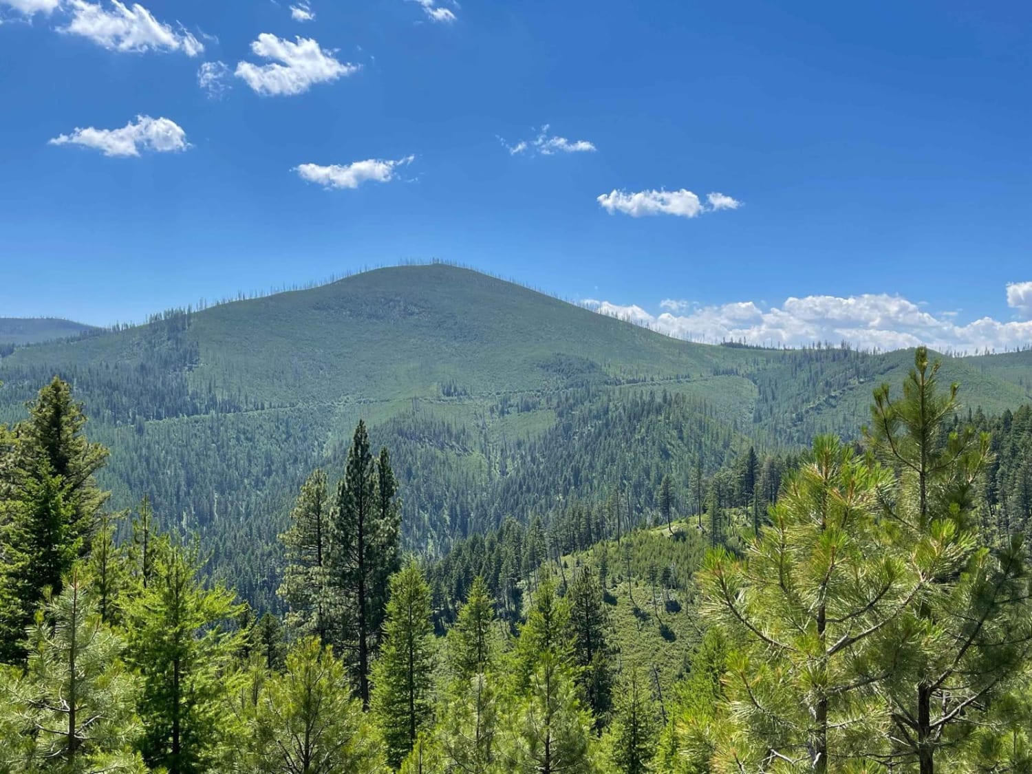
West Holloman Schwartz

West Holloman Schwartz

This rim road cruises along the top of the hills and has epic views around almost every corner as it twists and turns its way to the Holoman Saddle. There are a few different decent-sized…
Learn more about West Holloman Schwartz
Total Miles
4.9
Tech Rating
2 Easy
Best Time
Fall, Summer, Spring
Learn more about West Jennings
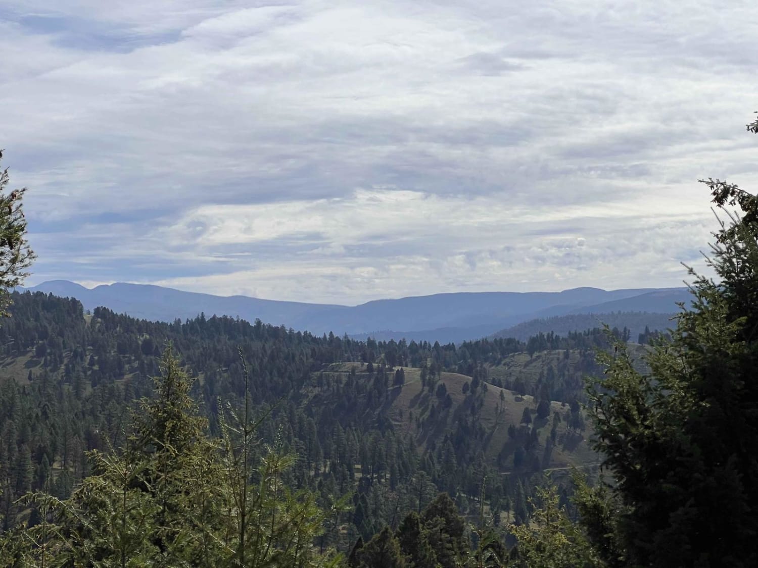
West Jennings

West Jennings

This trail begins with a steep uphill climb, is narrow, and has a few severe ruts. The trail continues to travel along a hillside with a decent drop-off. There are some beautiful mountain views the…
Learn more about West Jennings
Total Miles
2.9
Tech Rating
5 Moderate
Best Time
Fall, Summer, Spring
Learn more about West Side Pardee Creek Road - Old Hwy 10
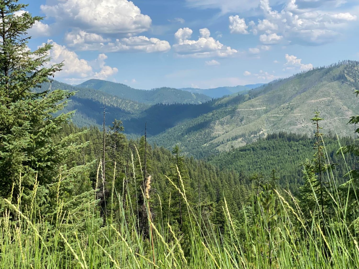
West Side Pardee Creek Road - Old Hwy 10

West Side Pardee Creek Road - Old Hwy 10

The route is made up of gravel and loose rock. The route climbs from 2600'-5800' along the Lolo Forest and some private land. There are many sharp turns with steep embankments along the route. Offline…
Learn more about West Side Pardee Creek Road - Old Hwy 10
Total Miles
19.6
Tech Rating
2 Easy
Best Time
Spring, Summer, Fall
Learn more about Weston Creek Lower Portion
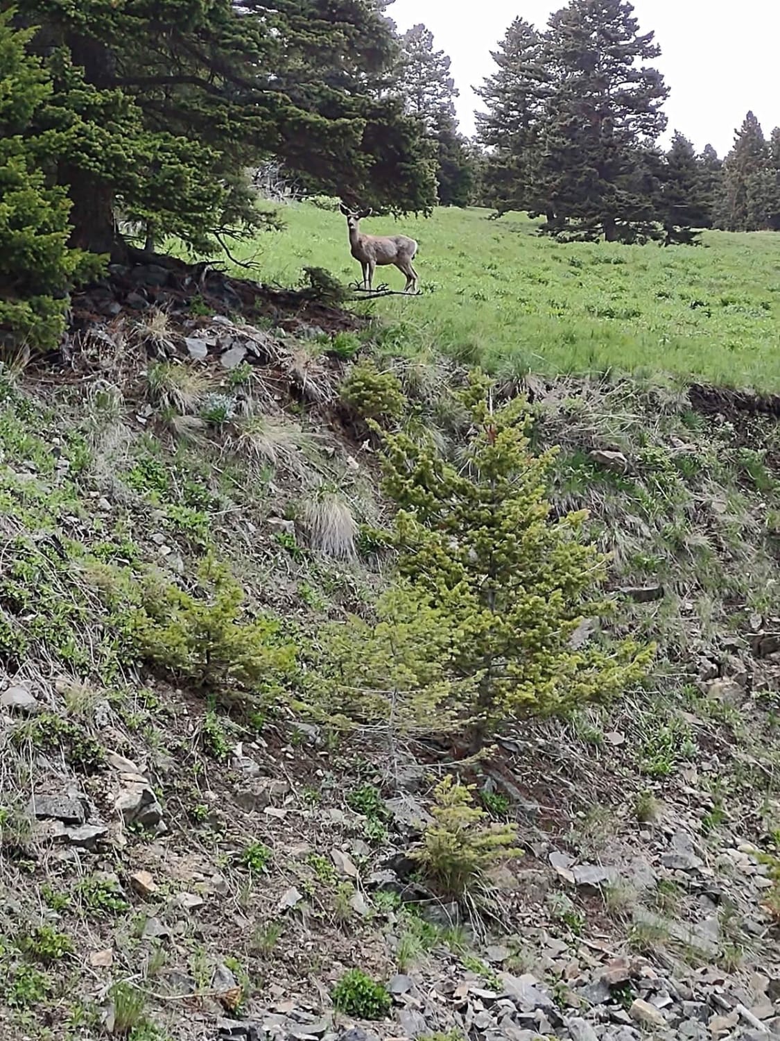
Weston Creek Lower Portion

Weston Creek Lower Portion

The Weston Creek Lower Portion Trail connects Indian Creek Road Trail to the Weston Creek Upper Portion Trail, the Weston Creek Spur #1, the Merrel Springs Trail, and the Cold Springs Road Trail. It's two…
Learn more about Weston Creek Lower Portion
Total Miles
2.0
Tech Rating
2 Easy
Best Time
Spring, Summer, Fall
Learn more about Weston Creek Upper Portion
Weston Creek Upper Portion

Weston Creek Upper Portion

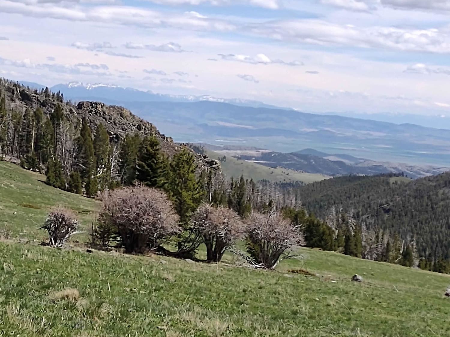
Weston Creek Trail connects Indian Creek Road Trail to the Canyon Ferry to Winston via Helena National Forest Trail at the Eagle Guard Cabin. It's two miles, climbing up to 6200 feet in the National…
Learn more about Weston Creek Upper Portion
Total Miles
3.0
Tech Rating
2 Easy
Best Time
Spring, Summer, Fall
Learn more about Westside Bypass
Westside Bypass

Westside Bypass

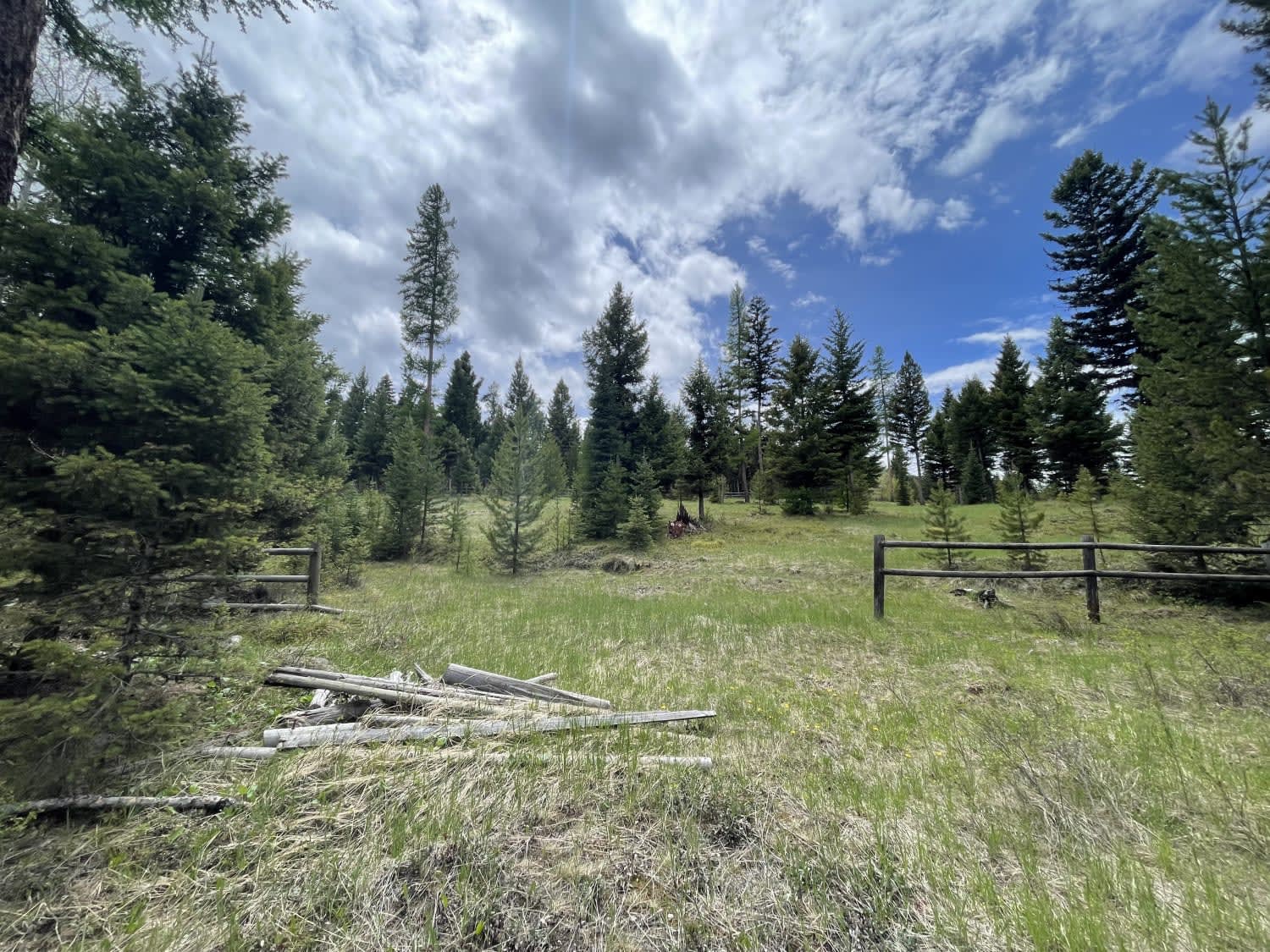
This bypass takes you around Sealy Lake on dirt and through the trees. There is no view of the lake and no actual view of any kind unless you love looking at trees. Then, you're…
Learn more about Westside Bypass
Total Miles
6.8
Tech Rating
1 Easy
Best Time
Fall, Summer, Spring
Learn more about Wheeler Creek
Wheeler Creek

Wheeler Creek

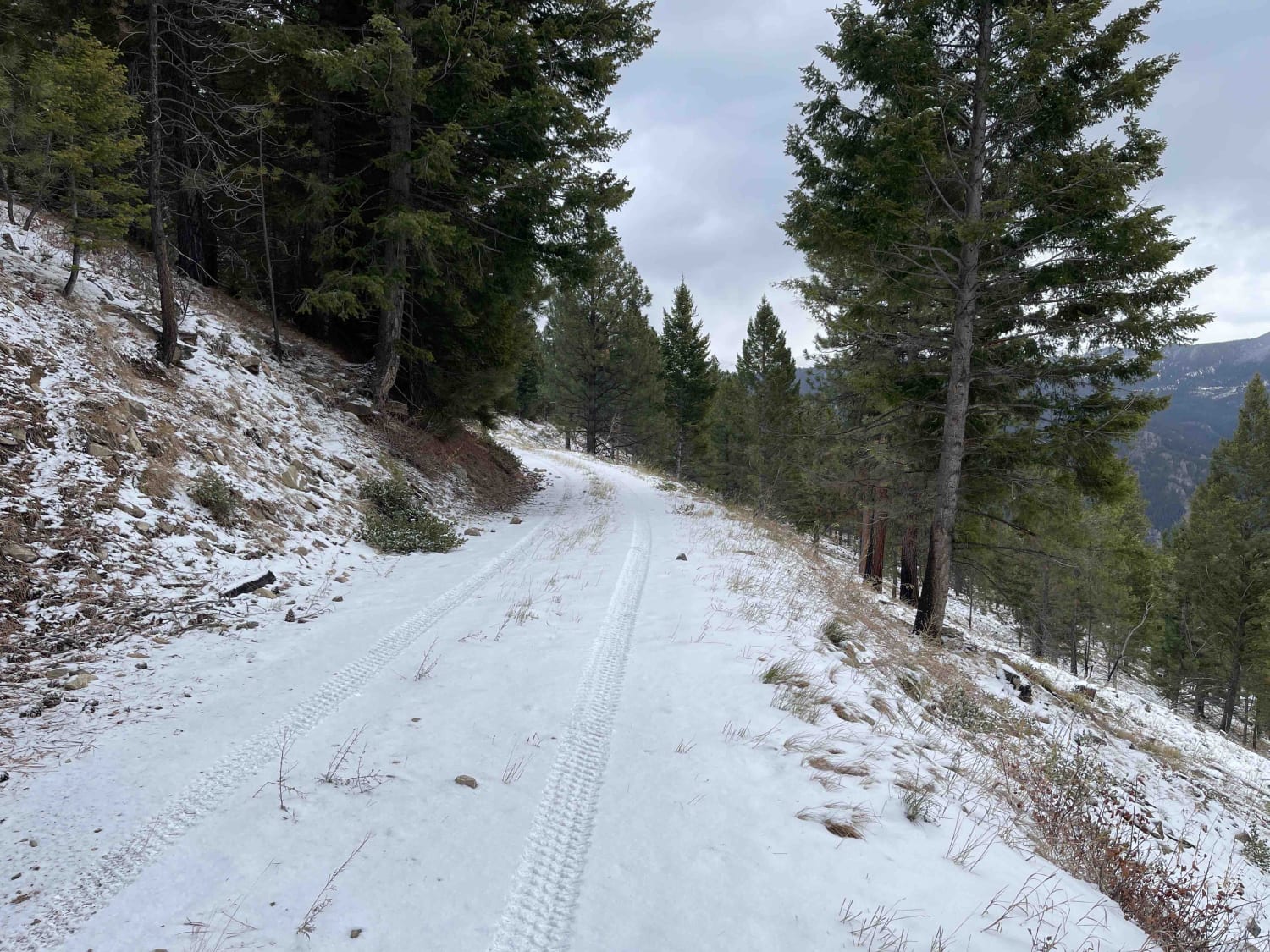
Stunning trial up the side of the mountains. Near the top, you are rewarded with amazing views of the surrounding mountains. You may see Elk cutting across the trail and be aware of potentially downed…
Learn more about Wheeler Creek
Total Miles
4.4
Tech Rating
3 Easy
Best Time
Fall, Summer, Spring
Learn more about Whisky Bay Day Use 1
Whisky Bay Day Use 1

Whisky Bay Day Use 1

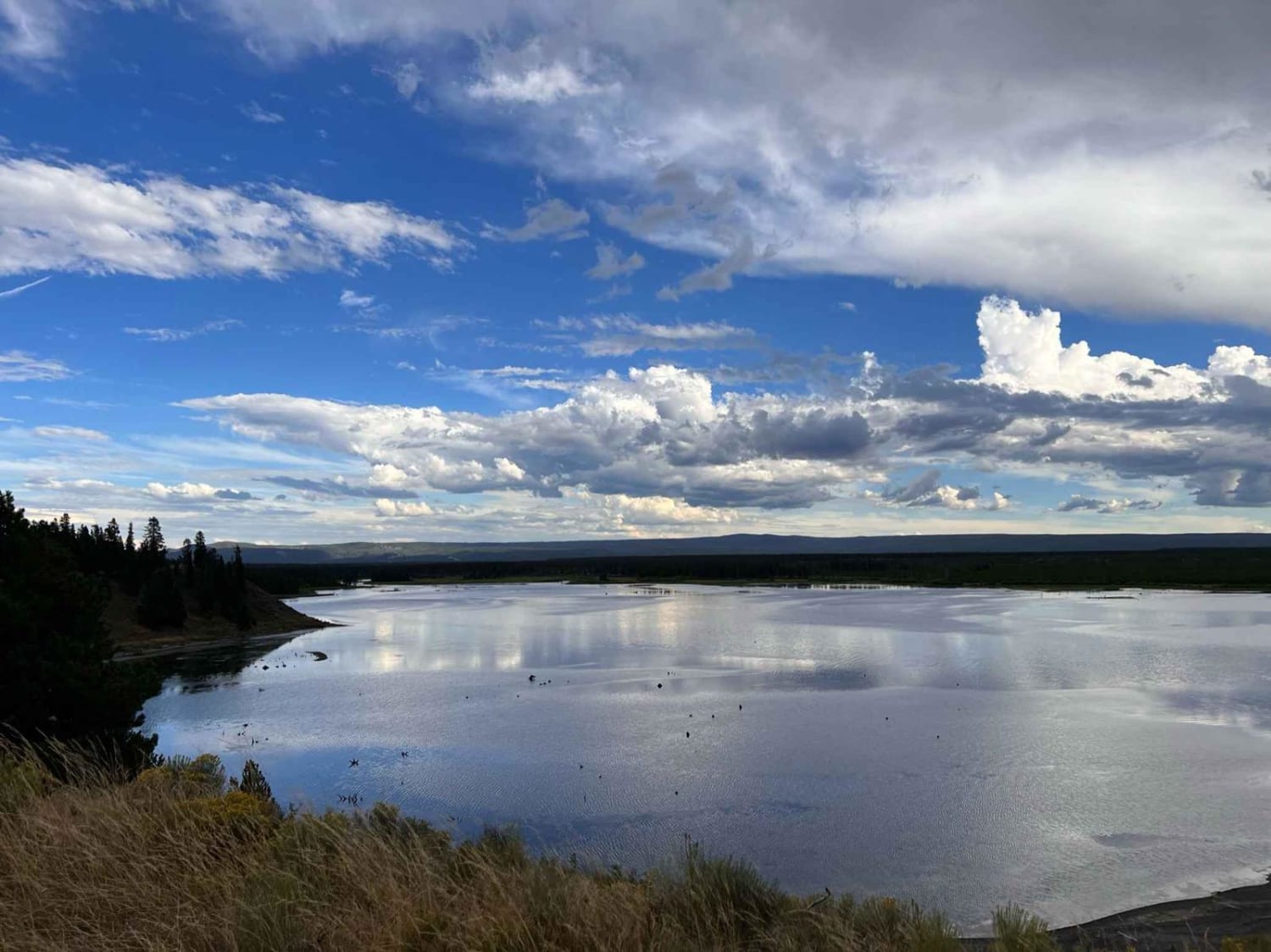
There are two day use loops off the Whisky Bay trail; this day use trail is close to highway 191, it's longer than the other day use areas with more pull-offs, and it has some…
Learn more about Whisky Bay Day Use 1
Total Miles
1.4
Tech Rating
3 Easy
Best Time
Fall, Summer, Spring
Learn more about Whisky Bay Day Use 2
Whisky Bay Day Use 2

Whisky Bay Day Use 2

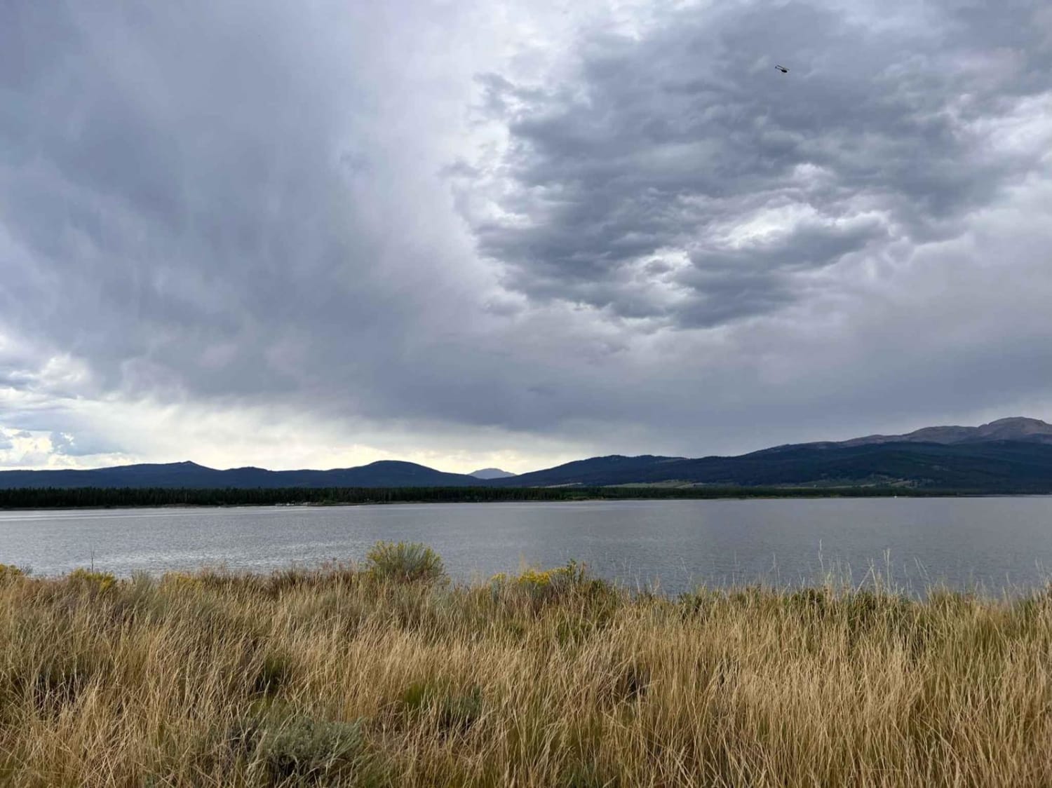
There are two-day use loops off the Whisky Bay trail. This day-use trail is close to the Horse Butte trail and rainbow point; it's slightly shorter than the other day-use area and runs higher above…
Learn more about Whisky Bay Day Use 2
Total Miles
1.1
Tech Rating
2 Easy
Best Time
Fall, Spring, Summer
Learn more about Whisky Bay Trail
Whisky Bay Trail

Whisky Bay Trail

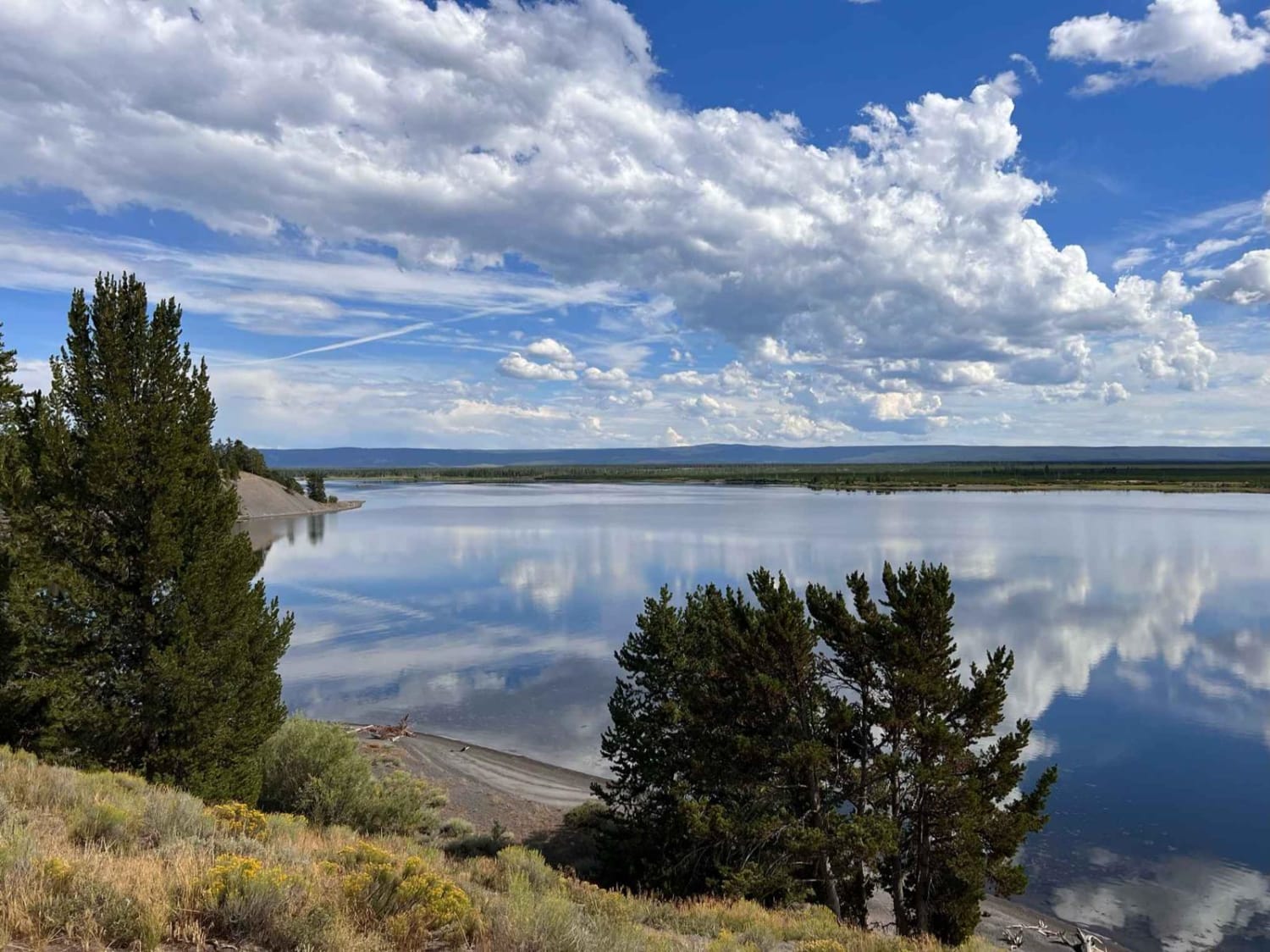
Are you looking for day-use access to Whisky Bay? This is the main trail across Whisky Bay with loops and fingers off of it with lots of day-use spots along the bay. The trail is…
Learn more about Whisky Bay Trail
Total Miles
4.4
Tech Rating
3 Easy
Best Time
Fall, Summer, Spring
Learn more about Whitetail Reservoir
Whitetail Reservoir

Whitetail Reservoir

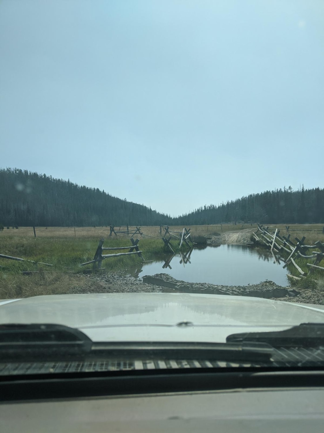
The trailhead branches off of Delmoe Lake Rd, a few miles southeast of Delmoe Lake. It is an out-and-back style trail. The first few miles of trail are relatively uneventful, travelling through sandy washes and…
Learn more about Whitetail Reservoir
Total Miles
9.3
Tech Rating
5 Moderate
Best Time
Summer
Learn more about Whits Lake Trail
Whits Lake Trail

Whits Lake Trail

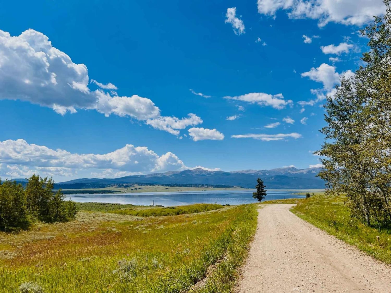
This is a beautiful dirt and gravel trail that heads up to a couple of hiking trailheads. There are two designated dispersed campsites on the way up. One had an Airstream parked at it when…
Learn more about Whits Lake Trail
Total Miles
2.2
Tech Rating
3 Easy
Best Time
Fall, Summer, Spring
Learn more about Wicked Creek Loop
Wicked Creek Loop

Wicked Creek Loop

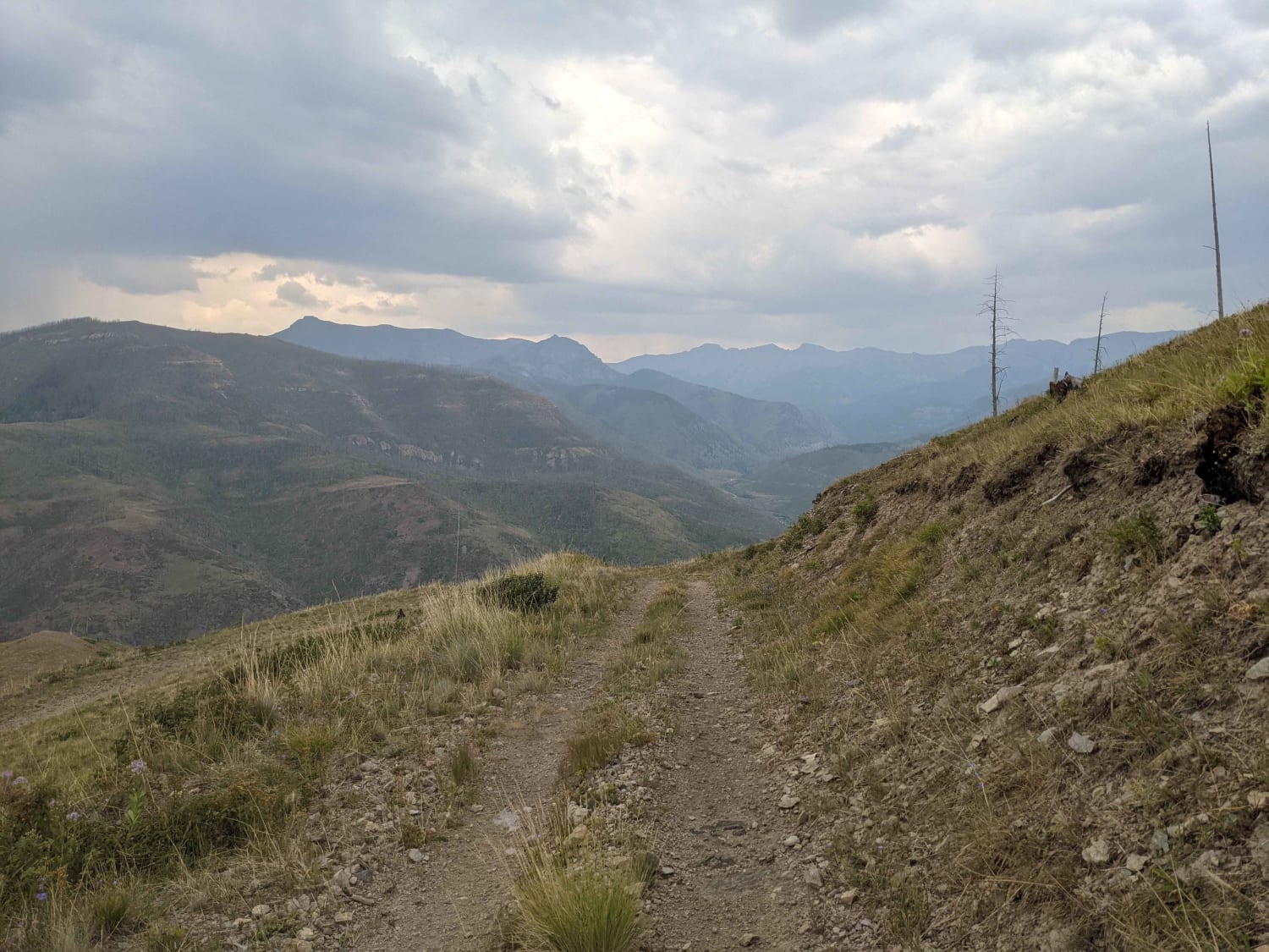
Open Dates: 7/16-9/14. Wicked Creek Loop is in the Absaroka Range and part of the Custer Gallatin National Forest on the Eastern side of the Paradise Valley, South of Livingston, Montana. Beginning at Mill Creek…
Learn more about Wicked Creek Loop
Total Miles
17.8
Tech Rating
3 Easy
Best Time
Summer
Learn more about Wickes Road
Wickes Road

Wickes Road

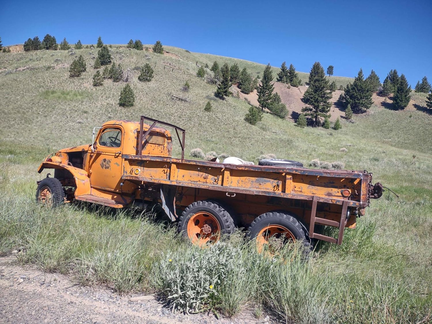
Wickes Road Trail is an alternate way to go from Basin to Corbin, and you go up over the top of the mountain. The highest elevation is just under 6800 feet, but if the tunnel…
Learn more about Wickes Road
Total Miles
3.0
Tech Rating
3 Easy
Best Time
Spring, Summer, Fall
Learn more about Wickes Tunnel: Basin to Corbin
Wickes Tunnel: Basin to Corbin

Wickes Tunnel: Basin to Corbin

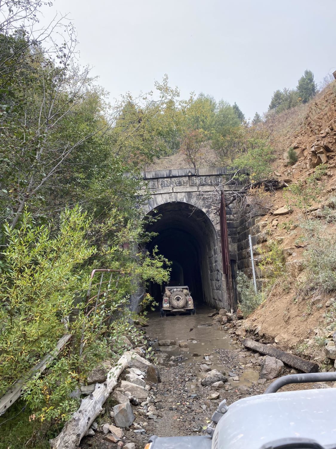
The Wickes Tunnel is an abandoned railroad tunnel that can be tricky to find but if you do, be ready for a dark, eerie ride. Warning, water levels in the tunnel could do some serious…
Learn more about Wickes Tunnel: Basin to Corbin
Total Miles
18.8
Tech Rating
5 Moderate
Best Time
Summer, Fall
Learn more about Wilbur Creek Cutoff Road
Wilbur Creek Cutoff Road

Wilbur Creek Cutoff Road

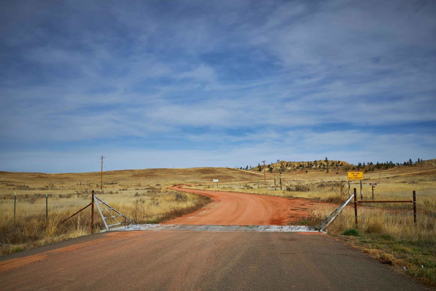
Wilbur Creek Cutoff Road is a beautiful relaxing trail that gently meanders through the rolling hills of the Custer National Forest. You'll see mule deer and cattle grazing along this road as well as groves…
Learn more about Wilbur Creek Cutoff Road
Total Miles
4.9
Tech Rating
1 Easy
Best Time
Spring, Summer, Fall
Learn more about Wild Bill Creek
Wild Bill Creek

Wild Bill Creek

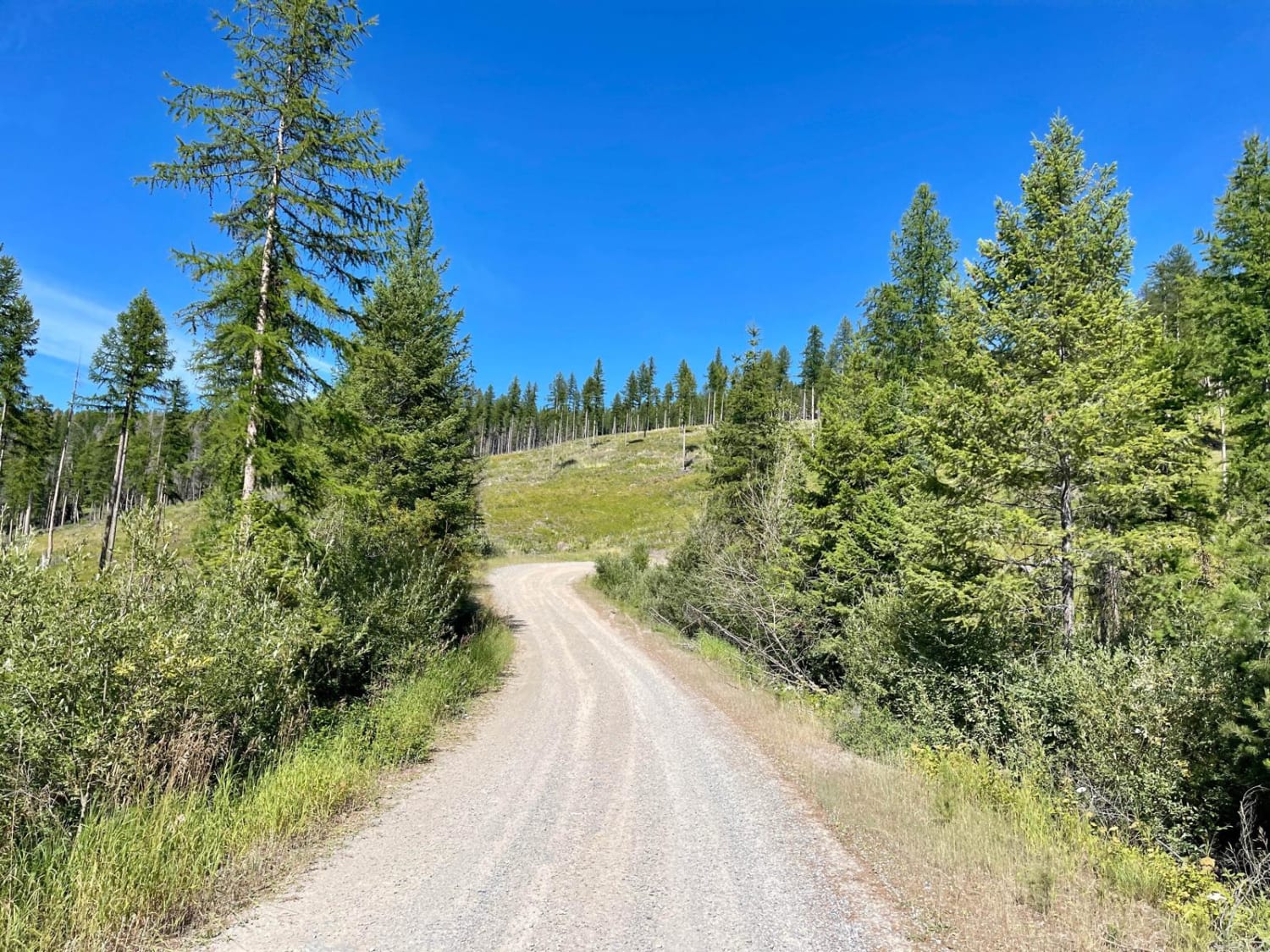
This mostly graded trail begins at the main staging area for the Wild Bill OHV area. There's plenty of parking for longer rigs and trailers at the staging area and a very informative kiosk with…
Learn more about Wild Bill Creek
Total Miles
6.7
Tech Rating
2 Easy
Best Time
Spring, Summer
Learn more about Wild Bill Creek/Firewood Trail to Truman Creek
Wild Bill Creek/Firewood Trail to Truman Creek

Wild Bill Creek/Firewood Trail to Truman Creek

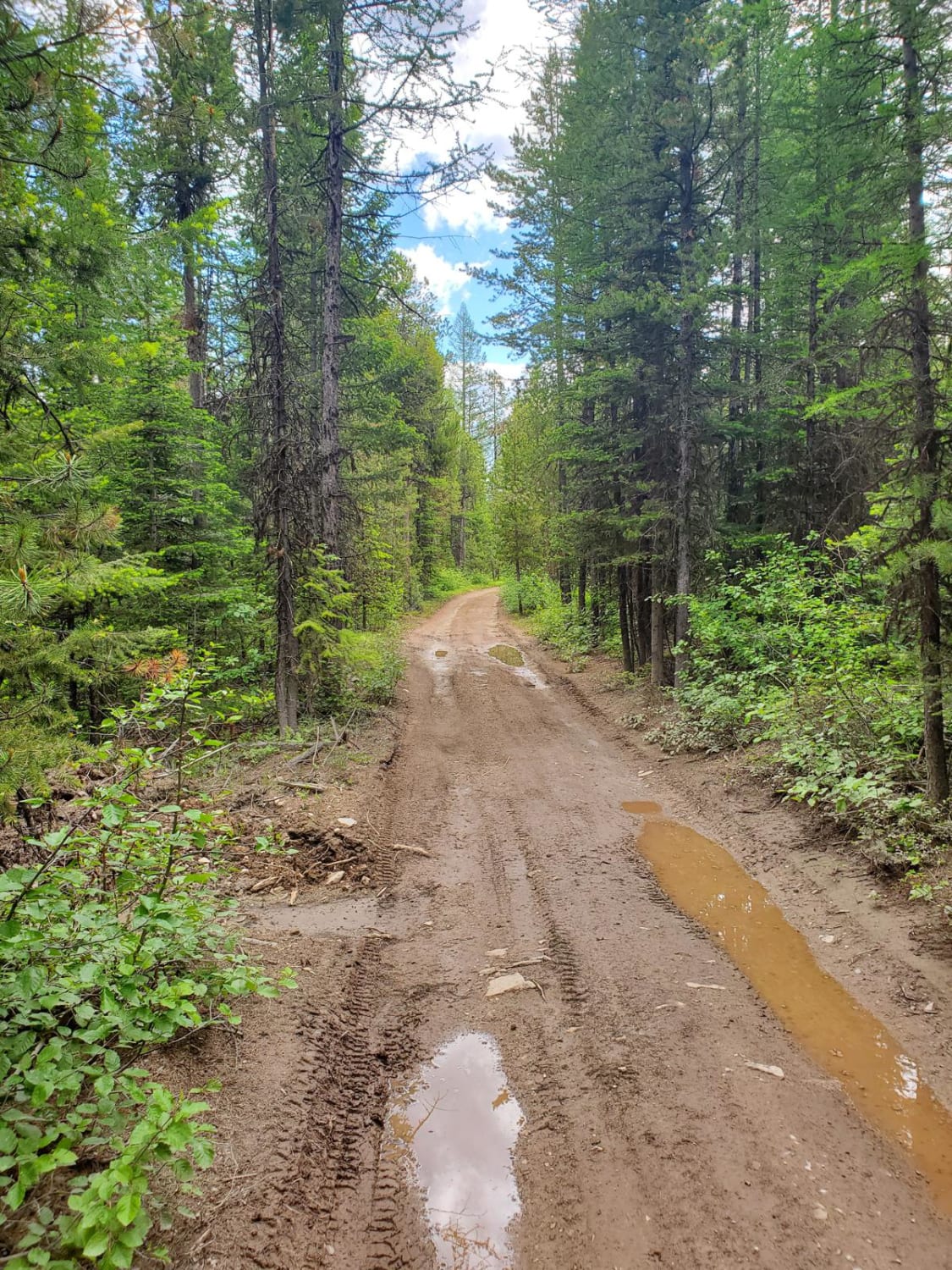
This is a really fun loop with several access points to the Wild Bill OHV Recreation Trail. The main trailhead has a bathroom and a large parking area for trailers. Access to Mudhole Junction, Packrat…
Learn more about Wild Bill Creek/Firewood Trail to Truman Creek
Total Miles
22.9
Tech Rating
2 Easy
Best Time
Spring, Summer, Fall
Learn more about Wild Bill Eagle Mountain to The Playground
Wild Bill Eagle Mountain to The Playground

Wild Bill Eagle Mountain to The Playground

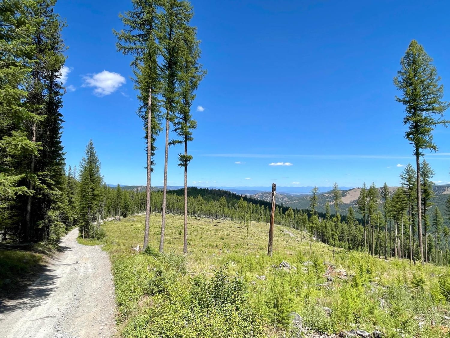
This is a main access trail for The Playground and other obstacles in the Wild Bill OHV system. Overall the trail is a straightforward gravel trail with optional extreme challenges. These manmade challenges range from…
Learn more about Wild Bill Eagle Mountain to The Playground
Total Miles
3.0
Tech Rating
3 Easy
Best Time
Spring, Summer
Learn more about Wild Bill OHV Trailhead
Wild Bill OHV Trailhead

Wild Bill OHV Trailhead

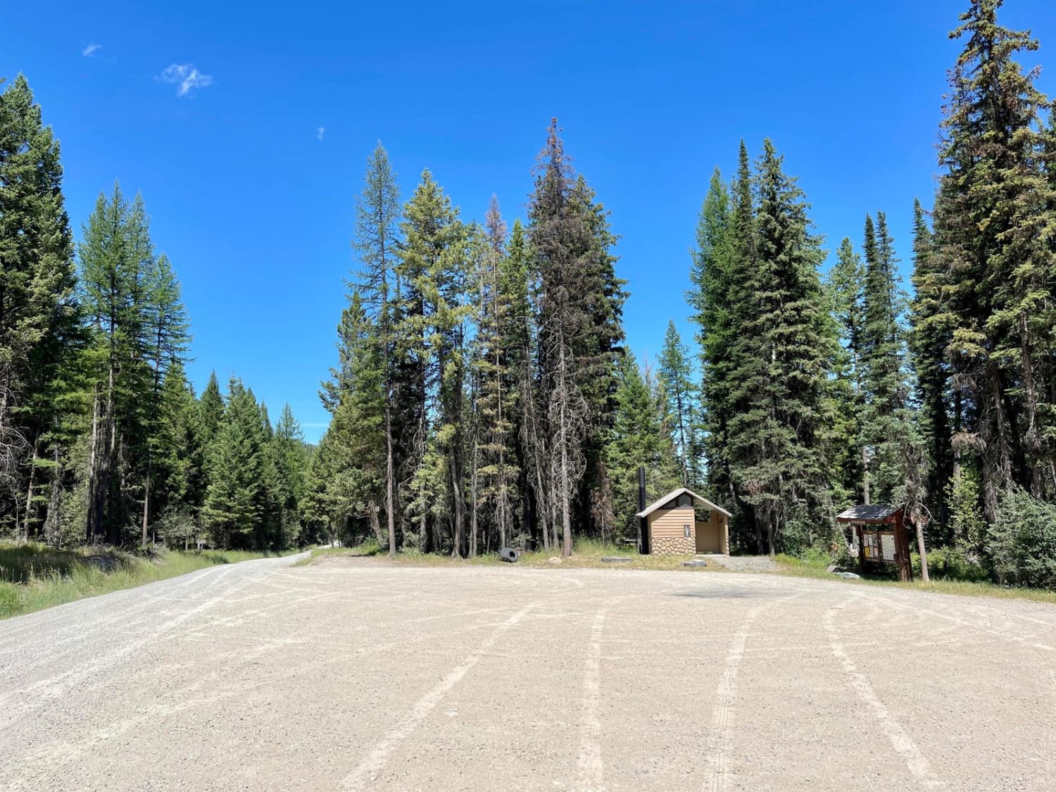
This well-maintained wide route is a great access road to get to the main staging area for the Wild Bill OHV Trail network. The trail is decently graded, with only a few minor potholes and…
Learn more about Wild Bill OHV Trailhead
Total Miles
2.7
Tech Rating
1 Easy
Best Time
Spring, Summer

The onX Offroad Difference

onX Offroad combines trail photos, descriptions, difficulty ratings, width restrictions, seasonality, and more in a user-friendly interface. Available on all devices, with offline access and full compatibility with CarPlay and Android Auto. Discover what you’re missing today!