Airport Cove Loop
Total Miles
0.4
Technical Rating
Best Time
Spring, Fall
Trail Type
Full-Width Road
Accessible By
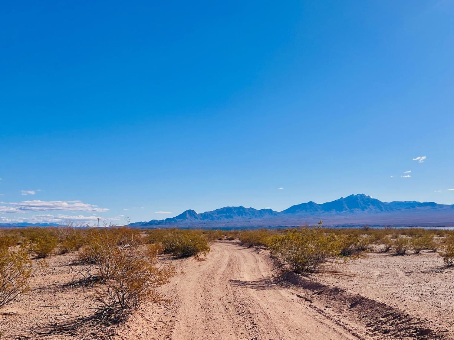
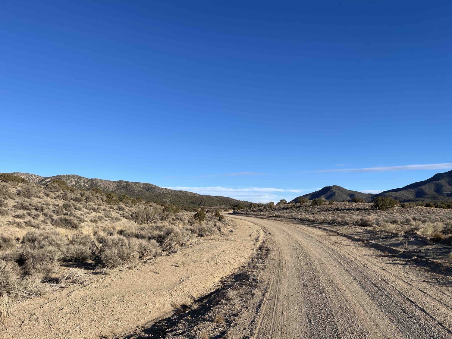
Trail Overview
This short out-and-back trail picks up off the end of Willow Cove Trail. This trail leads to several dispersed campsites and access to Lake Mojave. This trail is a one-lane road specified by a sign on the way in. It is rated a two because the trail is only one car wide. Oncoming vehicles would have to back up in the brush section at the end of the loop to pass. The end of the trail could be muddy when wet. The trail surface is dirt and gravel to begin with, and then silty dirt further in towards the end of the trail. The best part of this trail is the four separate dispersed campsites; three are right on the water. The biggest campsite at the end of the loop has two fire rings and two points of access to water. Each site has its own private little bay and water access. The first two will only accommodate 1 to 2 vehicles. This lower loop is not recommended for vehicles with trailers. The first dispersed campsite on the trail is above the water with a view of the mountains. There is a narrow footpath down to the water. Signage in the area indicates a 17-day dispersed camping limit. Stay on trails marked with a yellow arrow. Federal regulations prohibit motor vehicles except on park roads and parking areas. Vehicles are permitted only on approved roads and only when they are properly licensed for street use. SXS, ATVs, and motorcycles plated for street use could access these trails. All other off-road driving is prohibited in this area. This area is part of the Lake Mead Recreation Area; before visiting, it's encouraged to look up and abide by all Lake Mead Rec Area rules. This area is remote, with no services. Bring extra water and supplies when traveling out to these coves, especially in the summer months. There are a few bars of cell service at the coves.
Photos of Airport Cove Loop

Difficulty
The trail is only one vehicle wide. It narrows more as it turns down and heads out to the water. There are brush and trees to navigate, and they might scratch wider, larger vehicles. The trail loops around the end, where it's close to the water. This area could get muddy and mucky when wet.
History
Check out the Lake Mead Virtual Museum with historic images: https://www.nps.gov/features/lake/museum/historic-lake-mohave.html#12116.
Status Reports
Airport Cove Loop can be accessed by the following ride types:
- High-Clearance 4x4
- SUV
Airport Cove Loop Map
Popular Trails

Snore 250 Start Course

Gold Butte to Little Finland
Silver King to Middle Silver State Trail
The onX Offroad Difference
onX Offroad combines trail photos, descriptions, difficulty ratings, width restrictions, seasonality, and more in a user-friendly interface. Available on all devices, with offline access and full compatibility with CarPlay and Android Auto. Discover what you’re missing today!