Red Rock Quicksilver Mine
Total Miles
1.3
Technical Rating
Best Time
Fall, Winter, Spring
Trail Type
Full-Width Road
Accessible By
Trail Overview
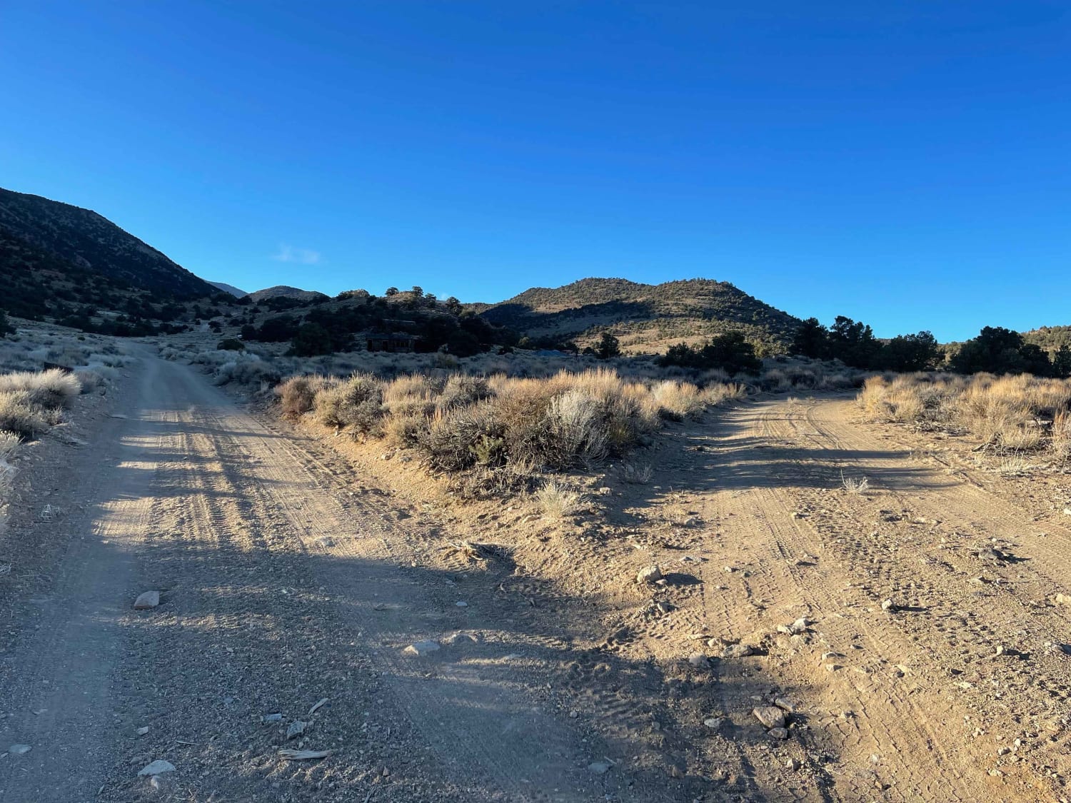
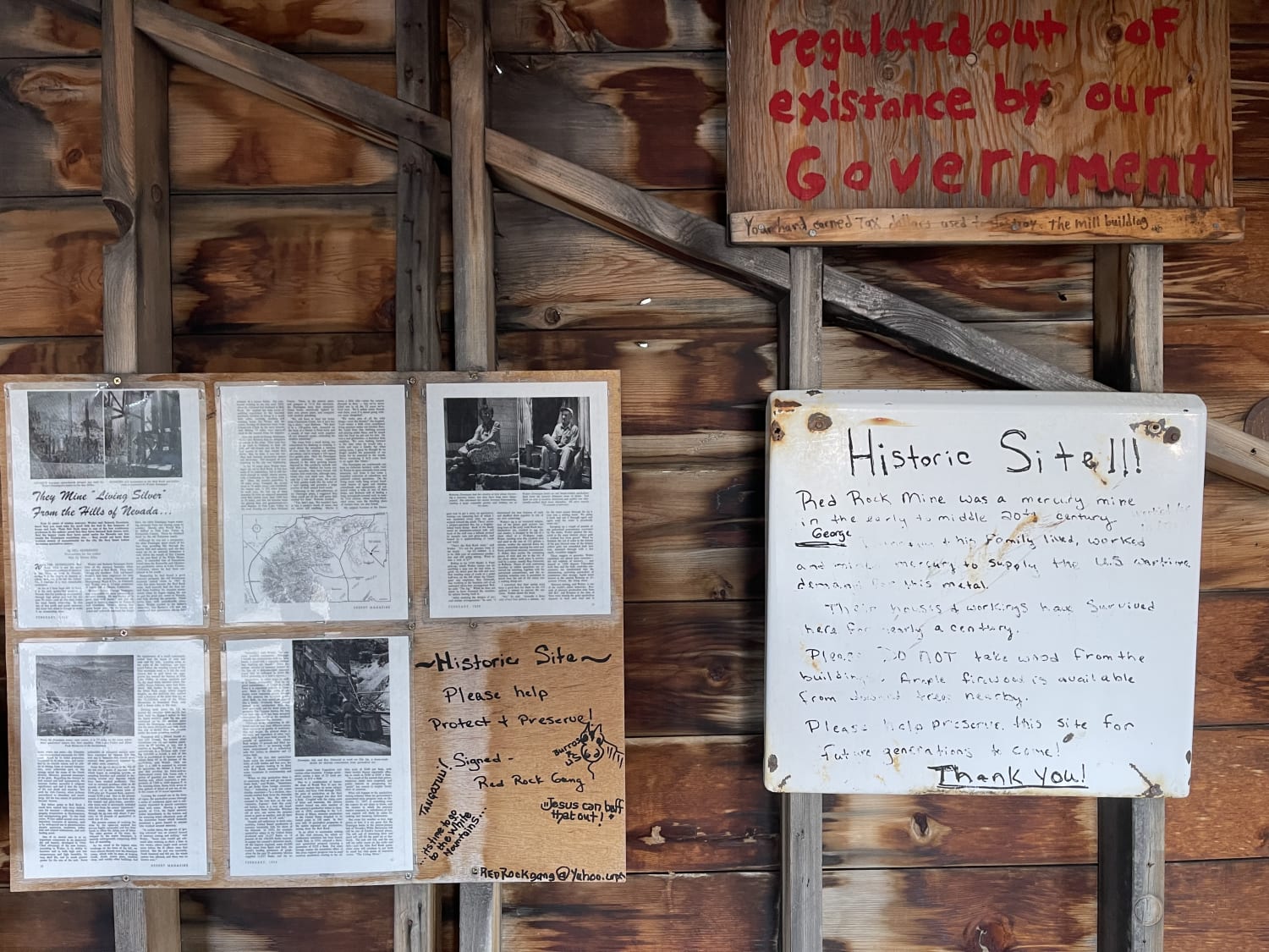
This easy trail takes you all the way to the mining complex to the east and the historic mining complex. There are many structures still standing and plenty of kiosks and information about the area. It's a nice stop and even a great place to camp with established fire rings and a great view out the canyon. There is lots to explore and even an old truck, one of which is sitting on its roof. Some LTE service in and out along the way.
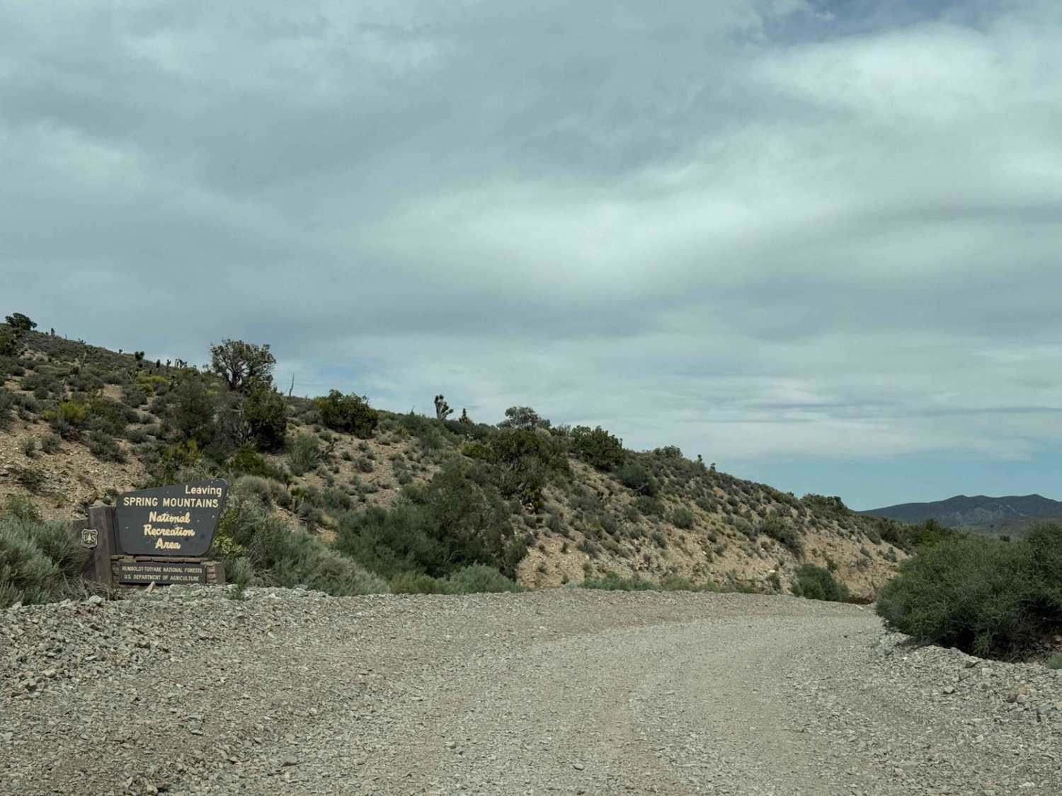
Photos of Red Rock Quicksilver Mine
Difficulty
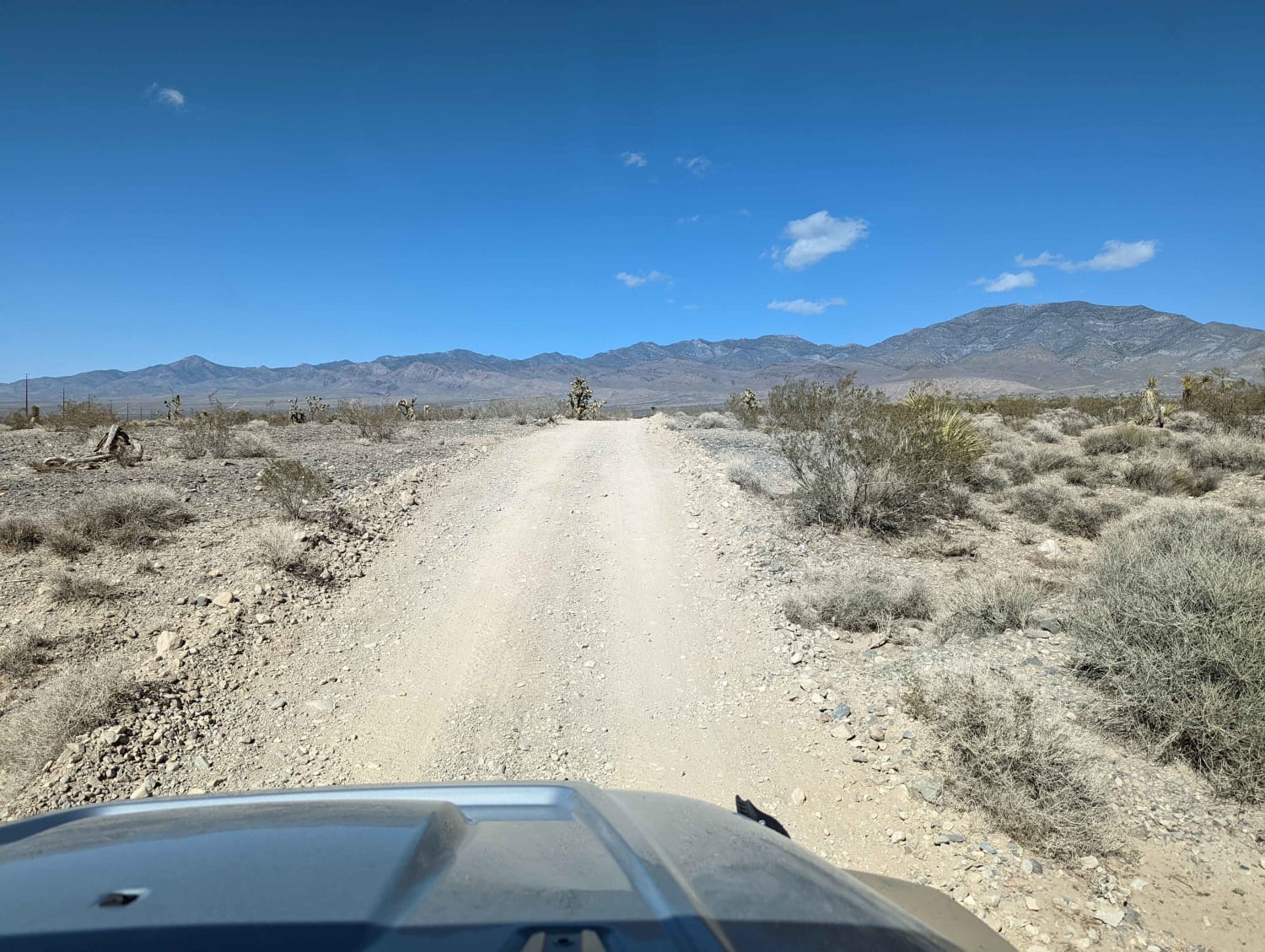
Easy trail with some sand but nothing complicated even for a 4x2 vehicle. May be dangerously hot in the summer.
History
The Red Rock mine lies on a group of four claims in the southern end of the district and about 11 miles west of the Chiatovitch Ranch. In 1928 George Dunnigan acquired the property and leased it to E. F. Good and J. L. McKinney. Good, after buying out McKinney's interest, produced more than 1,000 flasks from retorts and a small rotary furnace between November 1928 and January 1931. In 1931 the mine was operated by several lessees who recovered two hundred flasks. The present owner too over the property in 1932 and by operating it at various times from 1932 to 1939 recovered about 130 flasks of quicksilver. In October 1939 Fred Volmer, manager of the Calumet Gold Mines, obtained a five year lease and by the winter of 1942 had recovered 435 flasks from ore treated inn the 20-ton Cottrell furnace.-Quicksilver Deposits in Nevada, University of Nevada Bulletin, December 194
Status Reports
Red Rock Quicksilver Mine can be accessed by the following ride types:
- High-Clearance 4x4
- SUV
- SxS (60")
- ATV (50")
- Dirt Bike
Red Rock Quicksilver Mine Map
Popular Trails

The Pass to Pabco
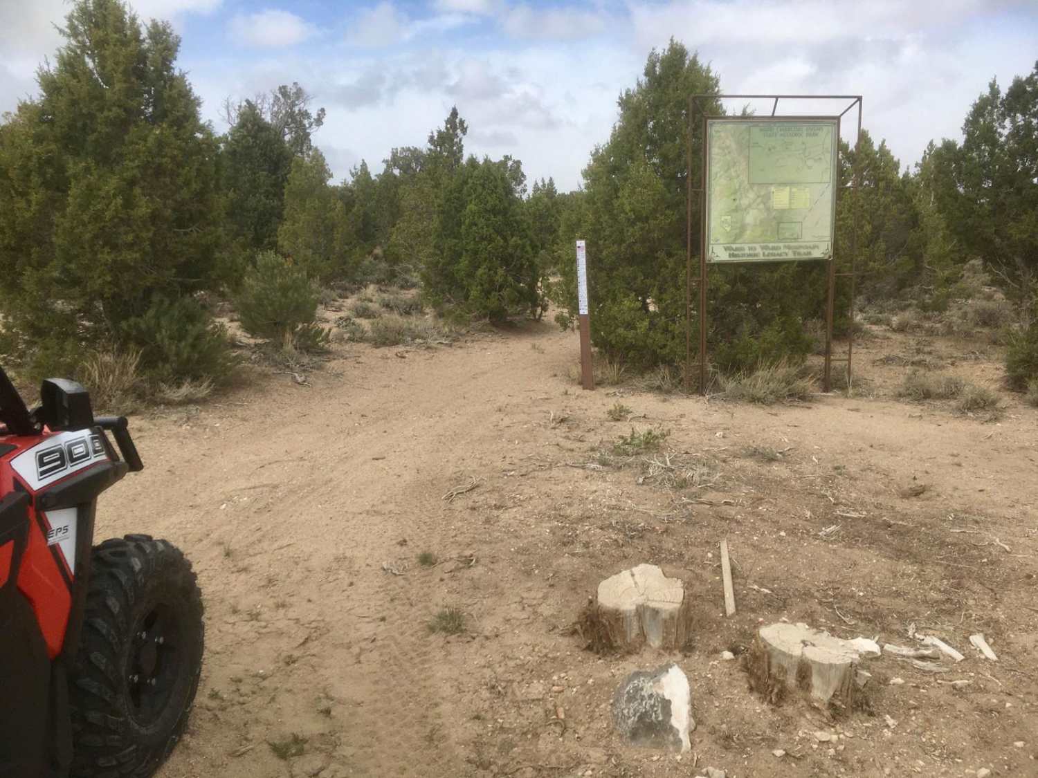
Legacy ATV Trail
Harris Springs Cutoff Road
The onX Offroad Difference
onX Offroad combines trail photos, descriptions, difficulty ratings, width restrictions, seasonality, and more in a user-friendly interface. Available on all devices, with offline access and full compatibility with CarPlay and Android Auto. Discover what you’re missing today!
