Bridge Canyon to Laughlin Single Track
Total Miles
10.2
Technical Rating
Best Time
Winter, Fall, Summer, Spring
Trail Type
Full-Width Road
Accessible By
Trail Overview
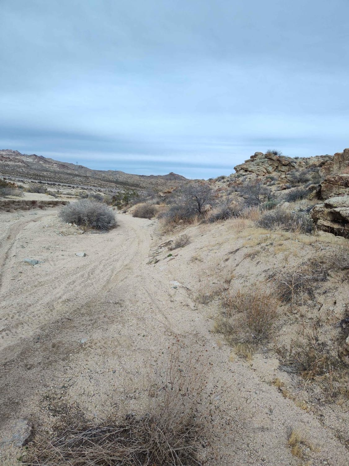
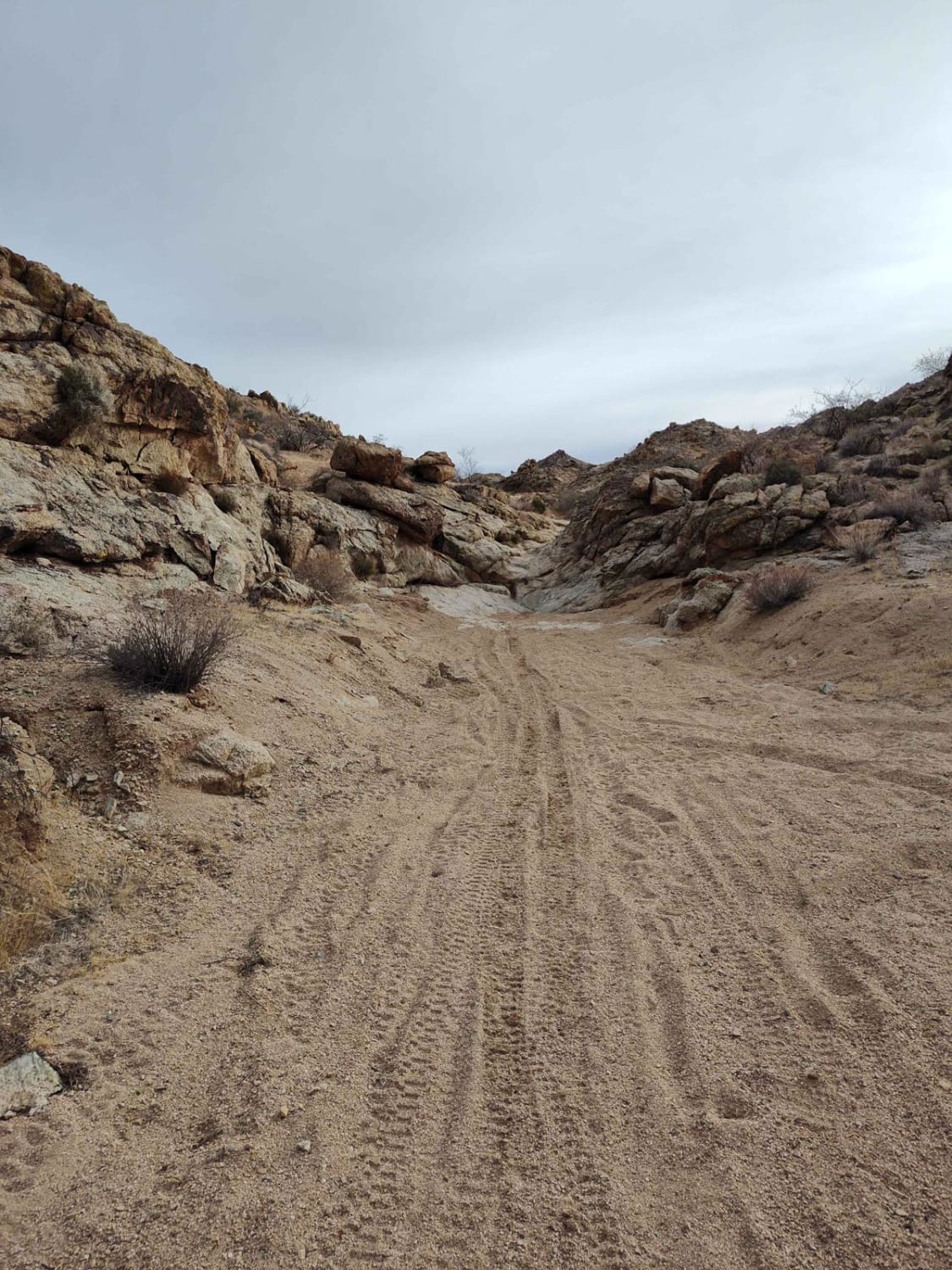
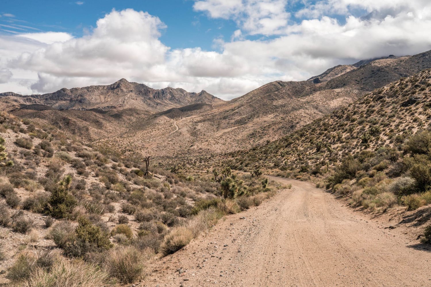
This is overall a low technical difficulty route with one spot that would not be recommended for anything other than a dirt bike or skilled four-wheeler. It generally follows the large power lines west. Starting from Tropicana RV/Oversize vehicle parking lot, the route is very easy and flat terrain for approximately 1 mile, then traverses a fun two-track, suitable for any off-road vehicle. Cross Needles Highway and continue straight, towards the mountains. The mountain pass road is suitable for any off-road vehicle. After descending, 4x4 vehicles may continue via Route 163, rather than following the track that continues adjacent, as there's one obstacle that probably wouldn't make Jeep folks happy. At the halfway point of the route, you'll find a huge parking and play area for all types of off-road. There are also several single-track options heading south from that staging area.
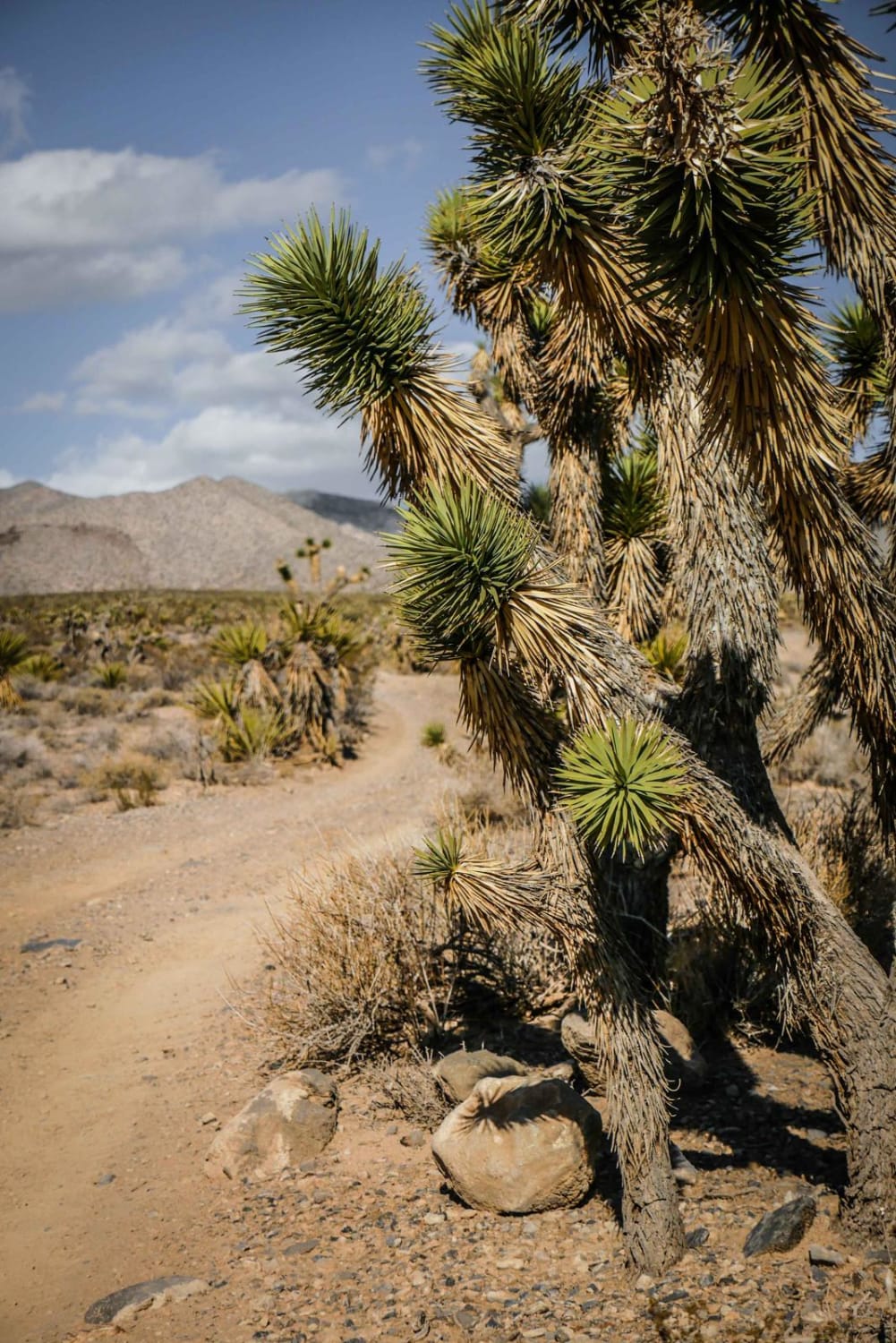
Photos of Bridge Canyon to Laughlin Single Track
Difficulty
There's one obstacle that is very difficult, but it may be avoided.
Status Reports
Popular Trails
Middle Elk Meadow Part 2
Bird Spring Pass

Rock Ridge Single Track
The onX Offroad Difference
onX Offroad combines trail photos, descriptions, difficulty ratings, width restrictions, seasonality, and more in a user-friendly interface. Available on all devices, with offline access and full compatibility with CarPlay and Android Auto. Discover what you’re missing today!
