Carp Elgin Road
Total Miles
4.9
Technical Rating
Best Time
Spring, Summer, Fall, Winter
Trail Type
Full-Width Road
Accessible By
Trail Overview
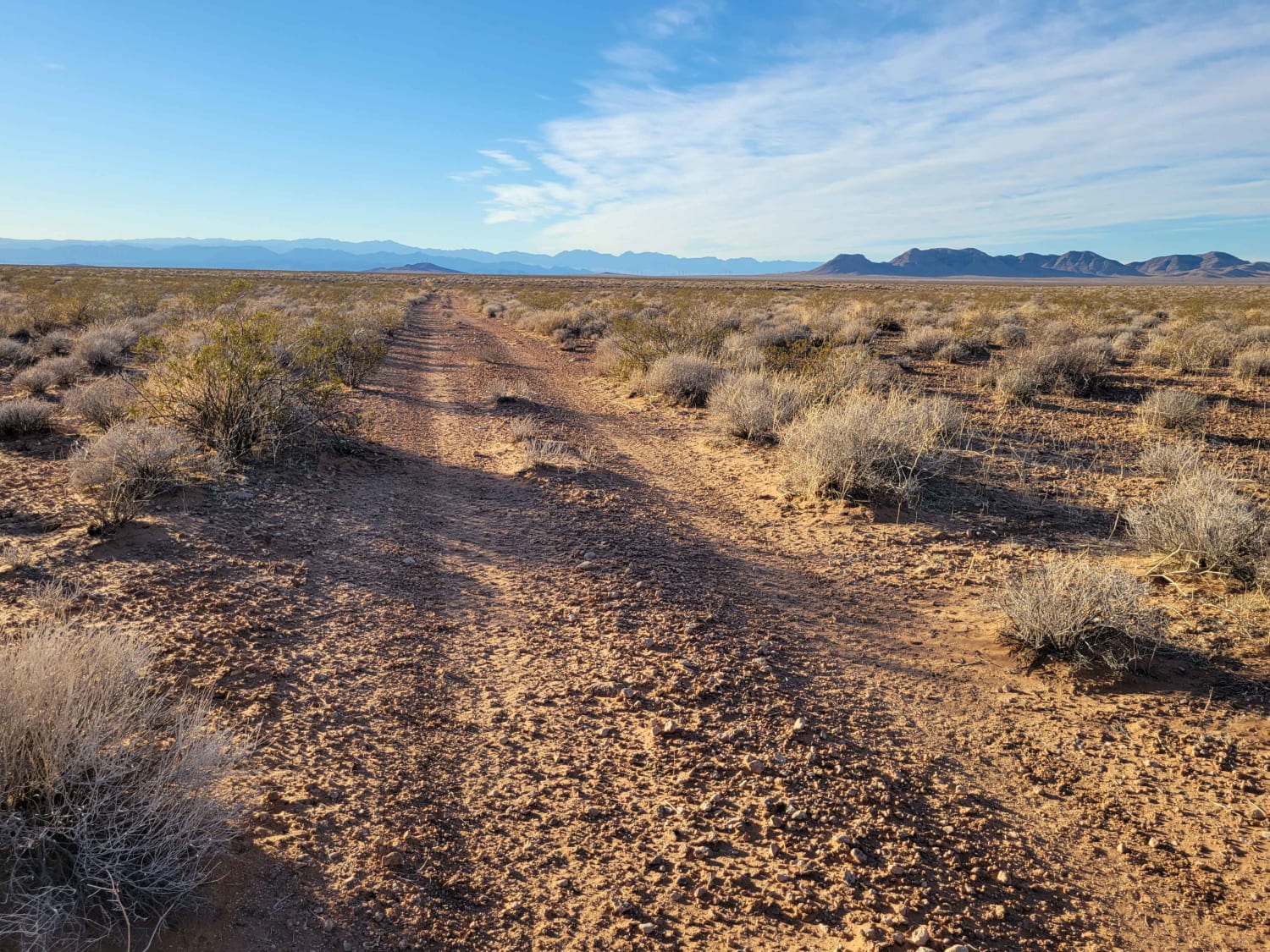
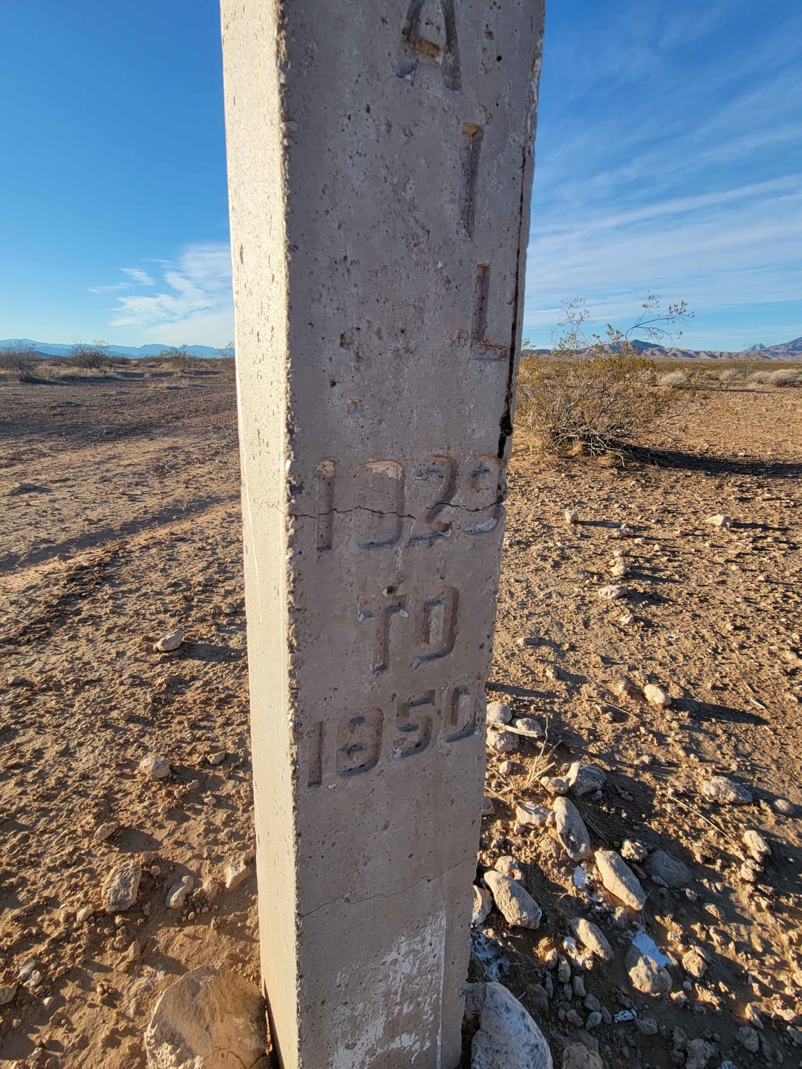
This section of trail connects to several others in the area, as well as the Interstate exit. Towards the Southern end is a marker for the Old Spanish Trail that came through the area. The trail is predominantly rocky and bumpy, but there are a few short rutted sections towards the north side.
Photos of Carp Elgin Road
Difficulty
The trail is predominantly rocky and bumpy but there are a few short rutted sections towards the north side.
History
The Old Spanish Trail is a historical trade route that connected the northern New Mexico settlements of (or near) Santa Fe, New Mexico with those of Los Angeles, California and southern California. Approximately 700 mi long, the trail ran through areas of high mountains, arid deserts, and deep canyons. It is considered one of the most arduous of all trade routes ever established in the United States.
Status Reports
Popular Trails
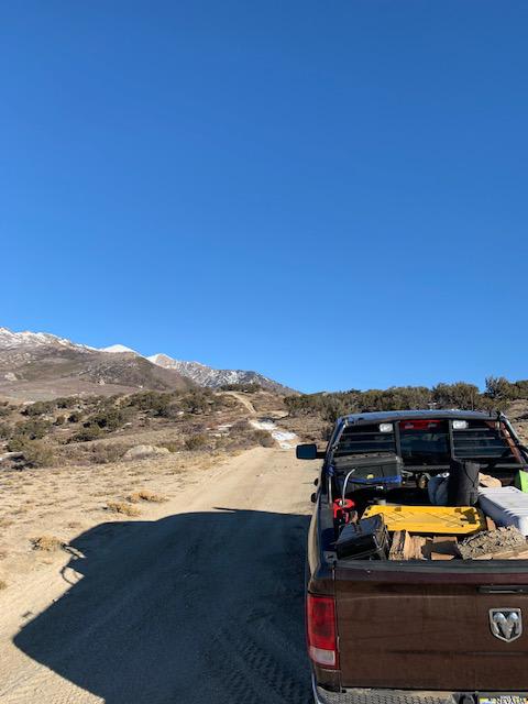
Ruby Crest Trailhead
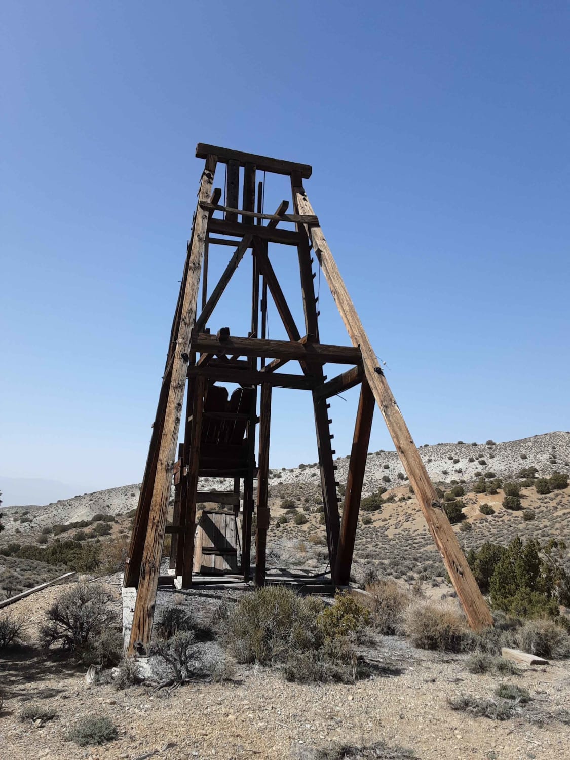
The Road to the Simon Lead Mine
The onX Offroad Difference
onX Offroad combines trail photos, descriptions, difficulty ratings, width restrictions, seasonality, and more in a user-friendly interface. Available on all devices, with offline access and full compatibility with CarPlay and Android Auto. Discover what you’re missing today!
