Carpenter Canyon Road
Total Miles
12.4
Technical Rating
Best Time
Spring, Summer, Fall, Winter
Trail Type
High-Clearance 4x4 Trail
Accessible By
Trail Overview
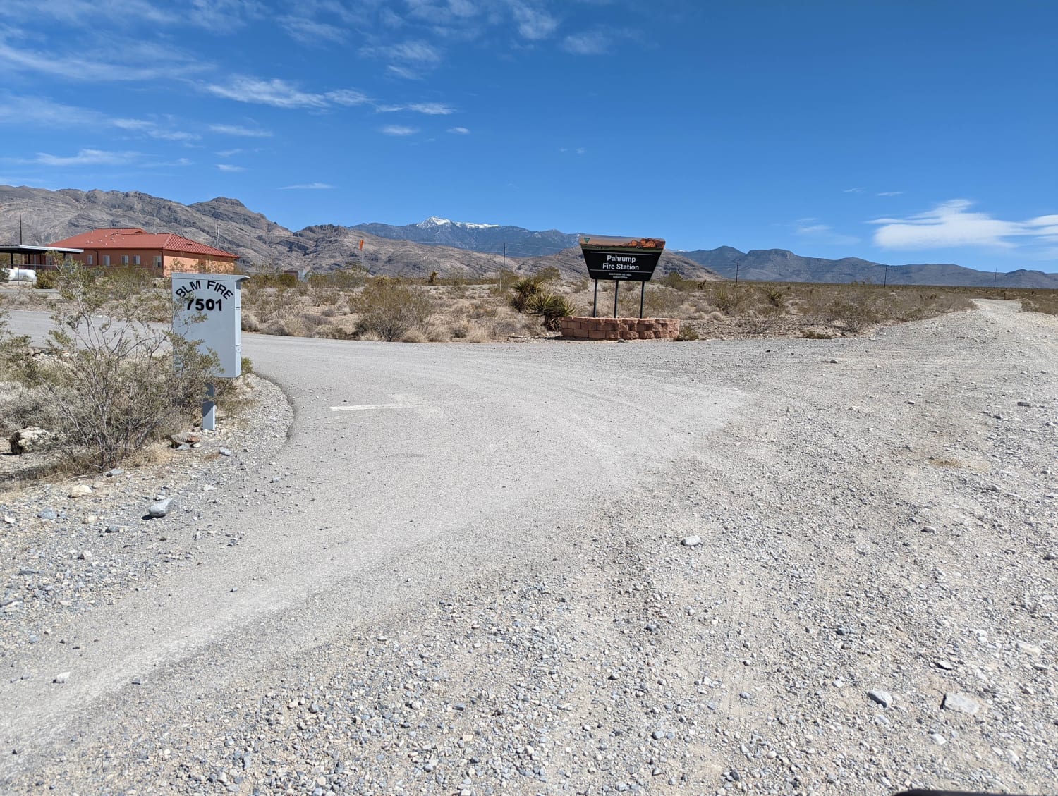
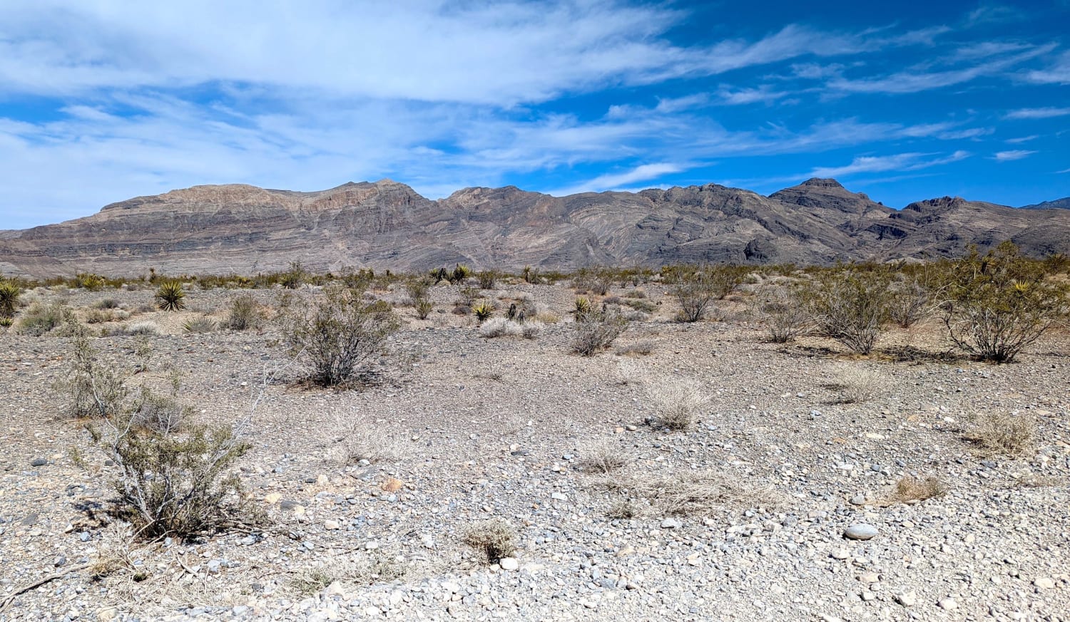
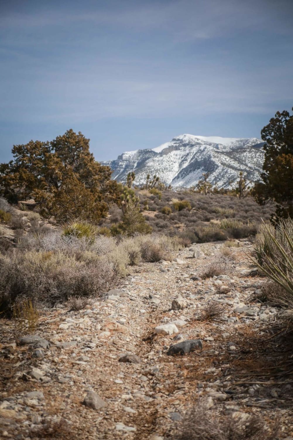
The trail starts out as a good, wide gravel road. Mostly Creosote bushes at first. About 1 mile in is the BLM Pahrump Fire Station. Shortly after passing the fire station, the road narrows and gets a bit rutty. The first Joshua Trees appear about 2.6 miles in, with Cholla and Barrel Cactus making a showing about 3 miles in. Snow-capped Charleston Peak at 11,811 feet becomes visible at about 3.5 miles. About 6 miles in the trail has become a single-lane high-clearance road. The trail climbs through a Juniper forest and terminates in the pines.
Photos of Carpenter Canyon Road
Difficulty
Good gravel road becomes rutted with loose rocks, sand and washes with short, steep grades.
Status Reports
Popular Trails
Middle Elk Meadow Part 1

Lake Mead - Part 3
The onX Offroad Difference
onX Offroad combines trail photos, descriptions, difficulty ratings, width restrictions, seasonality, and more in a user-friendly interface. Available on all devices, with offline access and full compatibility with CarPlay and Android Auto. Discover what you’re missing today!
