Dry Lakes Loop
Total Miles
21.4
Technical Rating
Best Time
Spring, Summer, Fall, Winter
Trail Type
High-Clearance 4x4 Trail
Accessible By
Trail Overview
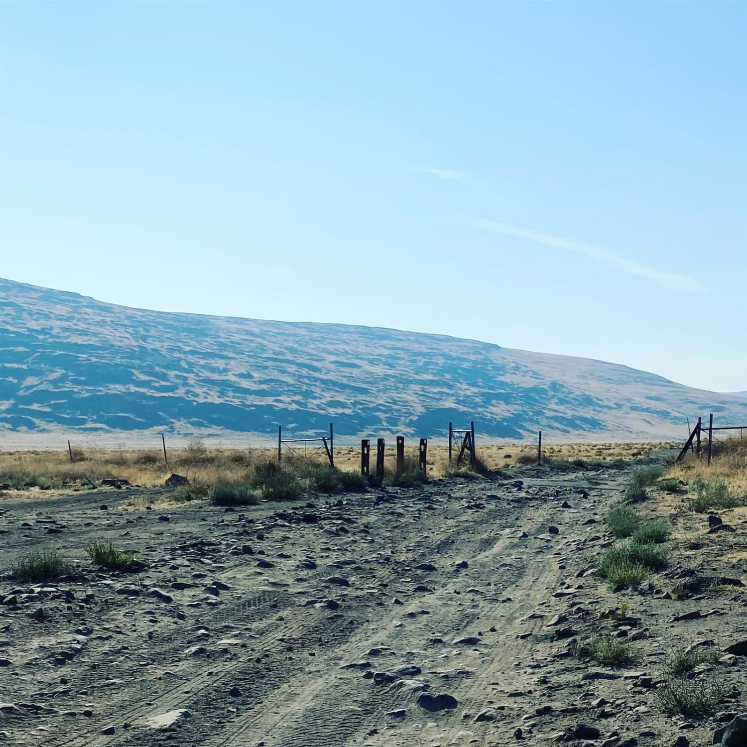
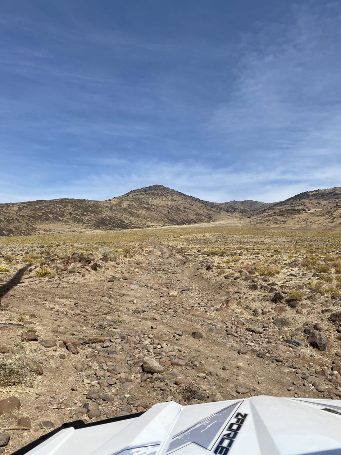
The trail starts at a cattle guard after you leave the staging area. The first few miles are soft sand with little to no obstruction. The area to the north side of the trail is a public access shooting area. Once past the shooting area, the trail narrows and drops down a dry creek valley before coming back up. At the fork, you may go either direction as it will eventually loop you back to this spot. Most of the trail is mild, hard-packed sand/dirt with intermittent areas of loose rock. There is a very high chance of coming across groups of wild horses throughout the year. At the higher elevations you can look down into the valley over Reno/Sparks and see the mountains to the west.
Photos of Dry Lakes Loop
Difficulty
The majority of the trail is easy, elevation changes are mild.
Status Reports
Dry Lakes Loop can be accessed by the following ride types:
- High-Clearance 4x4
- ATV (50")
- Dirt Bike
Dry Lakes Loop Map
Popular Trails
Logandale Main Loop 01
Loop Boundary Road
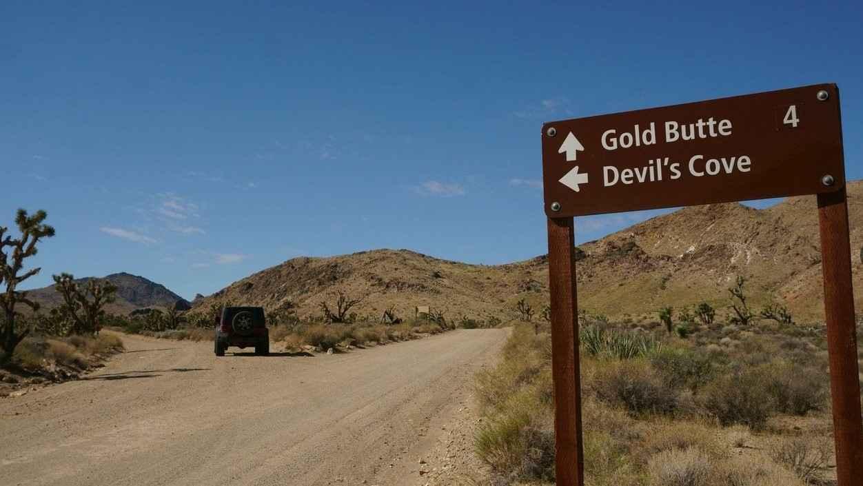
Devil's Cove Road
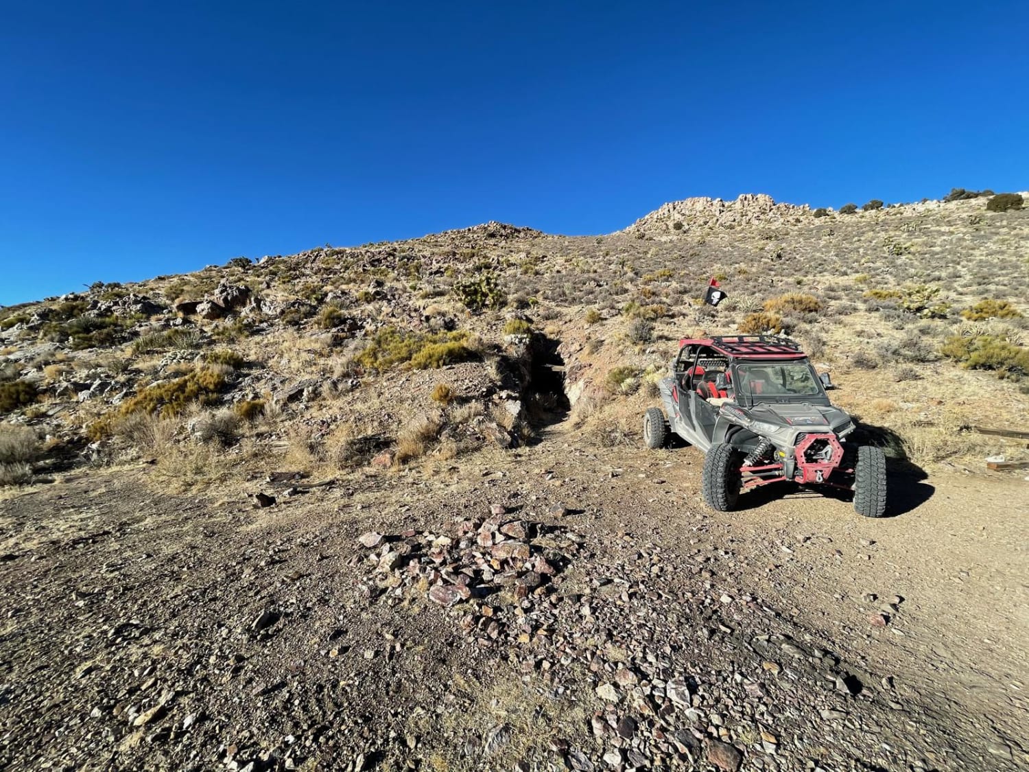
Delamar Ghost Town
The onX Offroad Difference
onX Offroad combines trail photos, descriptions, difficulty ratings, width restrictions, seasonality, and more in a user-friendly interface. Available on all devices, with offline access and full compatibility with CarPlay and Android Auto. Discover what you’re missing today!
