Hacketts Ranch Road
Total Miles
2.9
Technical Rating
Best Time
Spring, Summer, Fall, Winter
Trail Type
Full-Width Road
Accessible By
Trail Overview
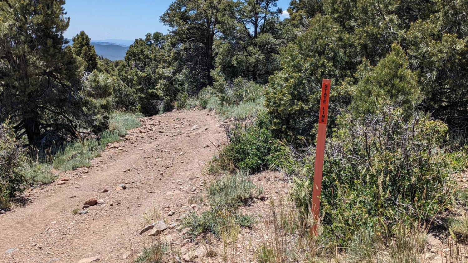
Hacketts Ranch Road is a 3-mile point-to-point trail rated 3 of 10 located in Lincoln County, Nevada. The road runs from the Utah state line west to the Hackett Ranch. The trail from the state line down the mountain to Hacketts Ranch is little used and may be overgrown, pinstriping is a distinct possibility. The trail descends from the state line nearly 1000 feet down in approximately 3 miles. The trail runs through Pinyon Pine and juniper scrub. During the late spring and early summer, wildflowers and cactus blooms can be seen. Located at the Hacketts Ranch is the family cemetery as well as several structures that remain. The Hacketts owned several of the mines in the local area to include the Marble, Midnight, Everest, Lone, and Reliance. Around 1920 as mining waned in the area the Hacketts got into ranching and the cattle business. The ranch house was built in the early 20s. There is no cell service along this trail and the nearest services are in Enterprise or Newcastle, Utah to the east or Panaca, Nevada to the west.
Photos of Hacketts Ranch Road
Difficulty
Trail consisting of loose rocks, dirt, and sand with some slick rock surfaces, mud holes possible, no steps higher than 12". 4WD may be required, aggressive tires are a plus.
Status Reports
Hacketts Ranch Road can be accessed by the following ride types:
- High-Clearance 4x4
- SUV
- SxS (60")
- ATV (50")
- Dirt Bike
Hacketts Ranch Road Map
Popular Trails

Stonehouse Trail

Lake Mead - Part 1

Genoa Peak Road - 41306
The onX Offroad Difference
onX Offroad combines trail photos, descriptions, difficulty ratings, width restrictions, seasonality, and more in a user-friendly interface. Available on all devices, with offline access and full compatibility with CarPlay and Android Auto. Discover what you’re missing today!


