Homestrike Mine - Horseshoe Mine Trail
Total Miles
2.8
Technical Rating
Best Time
Spring, Summer, Fall, Winter
Trail Type
Full-Width Road
Accessible By
Trail Overview
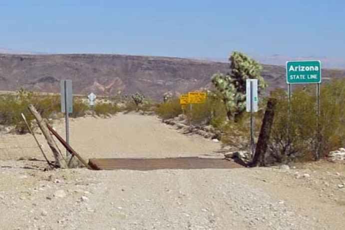
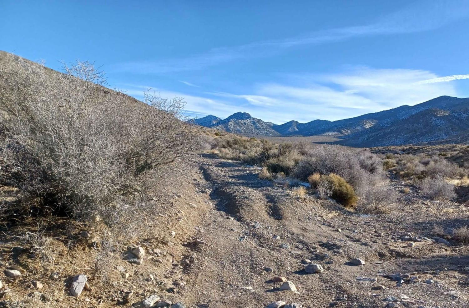
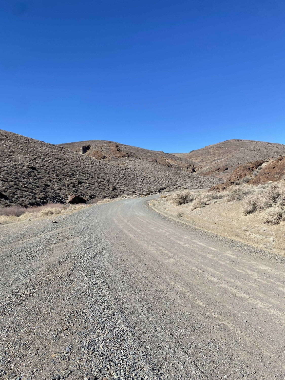
Homestrike Mine - Horseshoe Mine Trail is a 2.8-mile point-to-point trail rated 3 of 10 located in Lincoln County, Nevada. The trail runs north/south through the Fey Canyon and connects with Midnight Wash all part of the Paradise Mountains. The trail is a simple single-track, which at times may be overgrown. During the late spring and early summer months the hills are covered with wildflowers. A herd of wild horses is known to populate the Paradise Mountain range. In 2021 a mining corporation started testing for mineral content and has drilled more than 400 sample bores along this region. There is no cell service, and the nearest services are located in Panaca, Nevada approximately 30 miles west.
Photos of Homestrike Mine - Horseshoe Mine Trail
Difficulty
Trail consisting of loose rocks, dirt, and sand with some slick rock surfaces, mud holes possible, no steps higher than 12". 4WD may be required, aggressive tires are a plus.
History
The trail built in the late 1800s provided access to numerous mines within the area with the most famous being Horseshoe and Homestrike mines. The community of Fay was located in the upper end of Fay Canyon. The town was established in 1900 and served as a base for mining at the Horseshoe Mine, which was the biggest producer in the Eagle Valley mining district. By 1901 Fay had four saloons, a post office, and regular stage service. Main Street ran north and south along the floor of the canyon, with the largest buildings along Main Street. According to mine company records, the population peaked at around 150 souls. Production at the mine ended in 1914, leading to the inevitable decline of the town. Little is left of the community today. Several buildings still exist in the vicinity of the Homestrike and Horseshoe mines and the Fay cemetery is still visible from the trail.
Status Reports
Popular Trails

St. Thomas Gap Road-Mohave County Highway 113

552 Mining Entry Road

Little High Rock Canyon

Pine forest range ridge
The onX Offroad Difference
onX Offroad combines trail photos, descriptions, difficulty ratings, width restrictions, seasonality, and more in a user-friendly interface. Available on all devices, with offline access and full compatibility with CarPlay and Android Auto. Discover what you’re missing today!


