Microwave Road FS 42192
Total Miles
17.1
Technical Rating
Best Time
Spring, Summer, Fall
Trail Type
Full-Width Road
Accessible By
Trail Overview
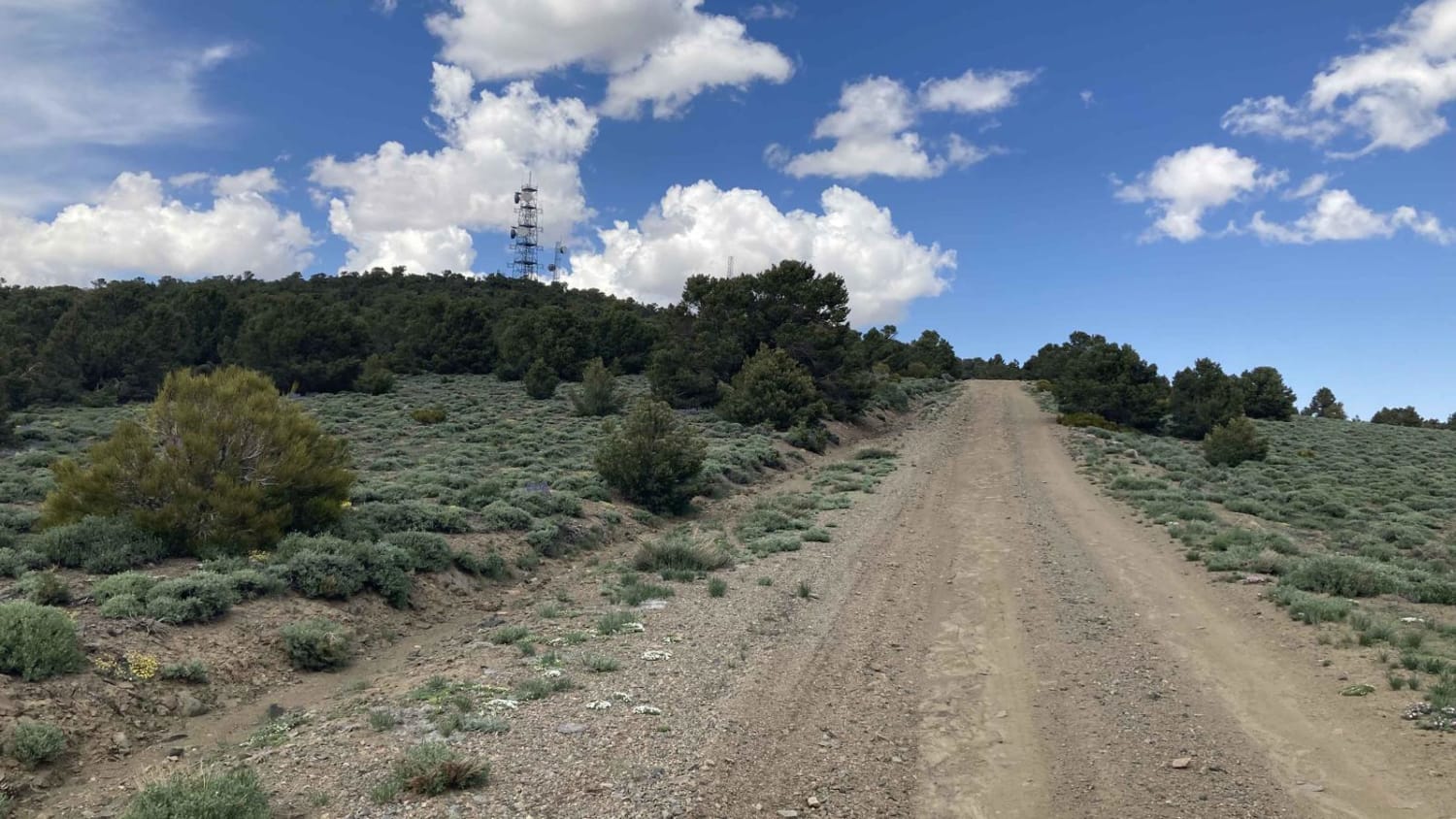
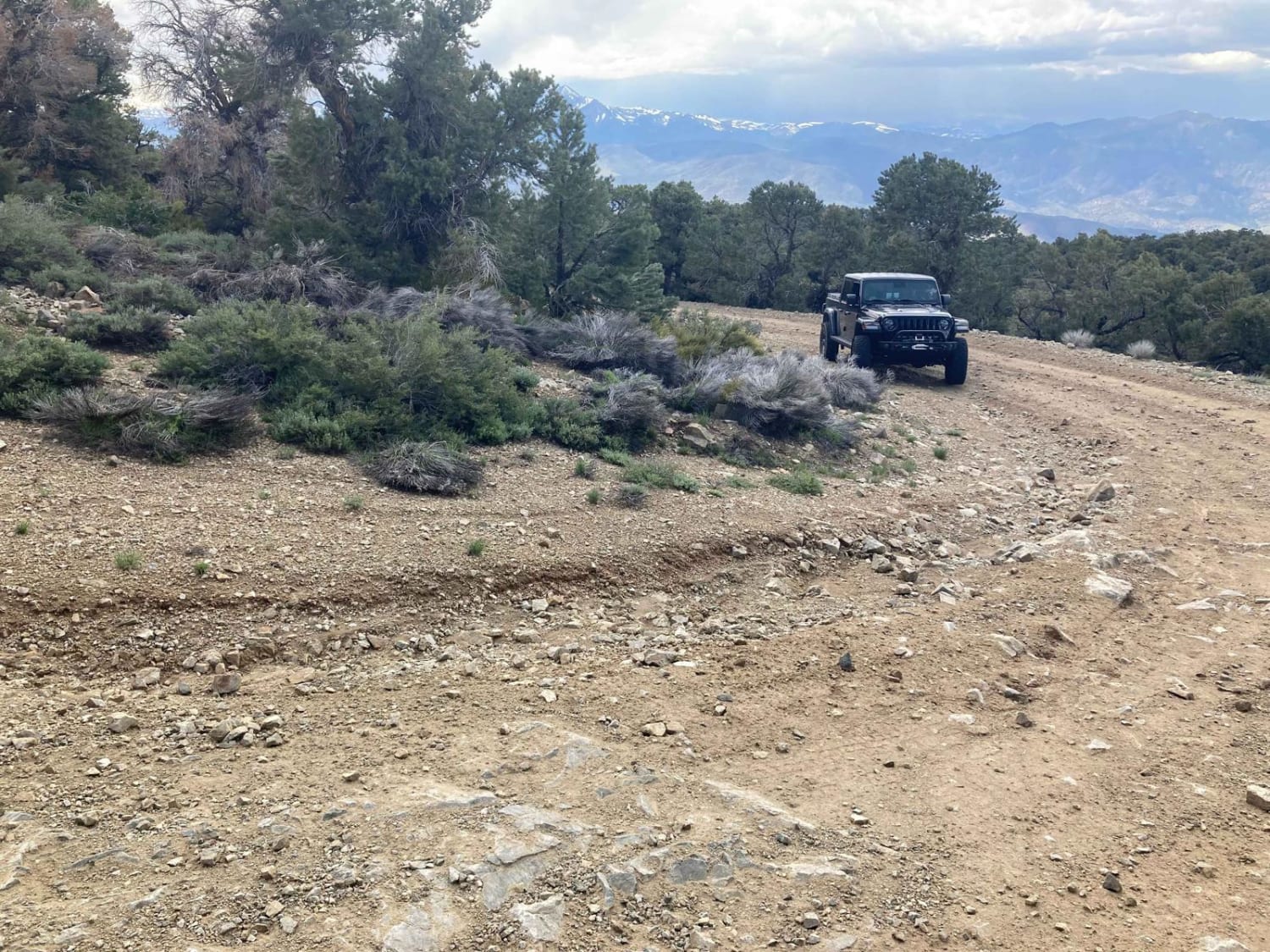
Incredible vistas and solitude are the rewards for choosing Microwave Road. It is passenger car friendly and rated an Easy1. Microwave Road is a wide well-maintained gravel road that allows two cars to pass. Located at the end of Microwave Road is a microwave communication station and tower. Microwave Road travels through a landscape of Sage, Pinyon, and Juniper trees and is located in the Toiyabe National Forest.
Photos of Microwave Road FS 42192
Difficulty
Microwave Road is a wide well-maintained gravel road that is wide enough to allow two cars to pass each other.
History
The trail/road leads to the area's Microwave communications tower. Pine Grove Hills has abundant groves of Pinyon trees. Pine nuts were a staple food for the local tribes that lived in this area. In 1866, Gold and Silver were discovered, and the area became a successful mining region.
Status Reports
Popular Trails

Copper Cache

Microwave Road FS 42192

Lake Mead - Part 3

Groundsmoke Road
The onX Offroad Difference
onX Offroad combines trail photos, descriptions, difficulty ratings, width restrictions, seasonality, and more in a user-friendly interface. Available on all devices, with offline access and full compatibility with CarPlay and Android Auto. Discover what you’re missing today!

