Radio Tower Single Track
Total Miles
2.4
Technical Rating
Best Time
Spring, Winter, Fall
Trail Type
Single Track
Accessible By
Trail Overview
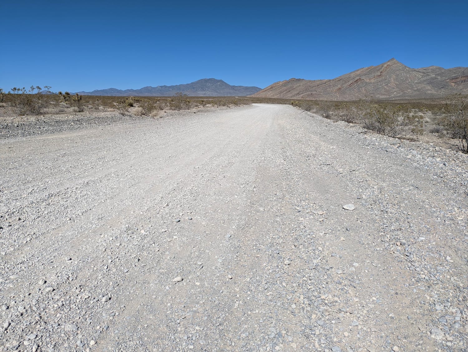
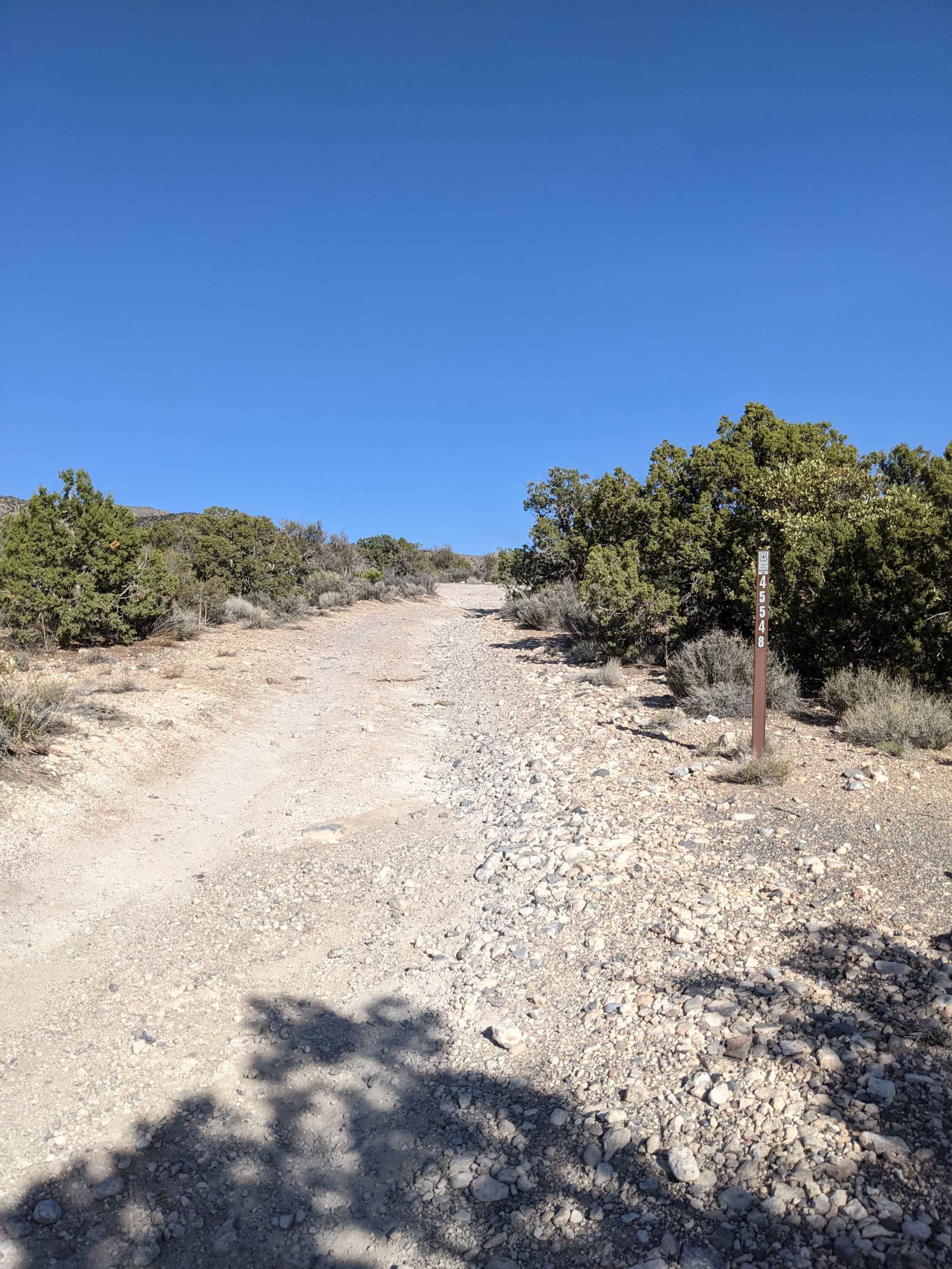
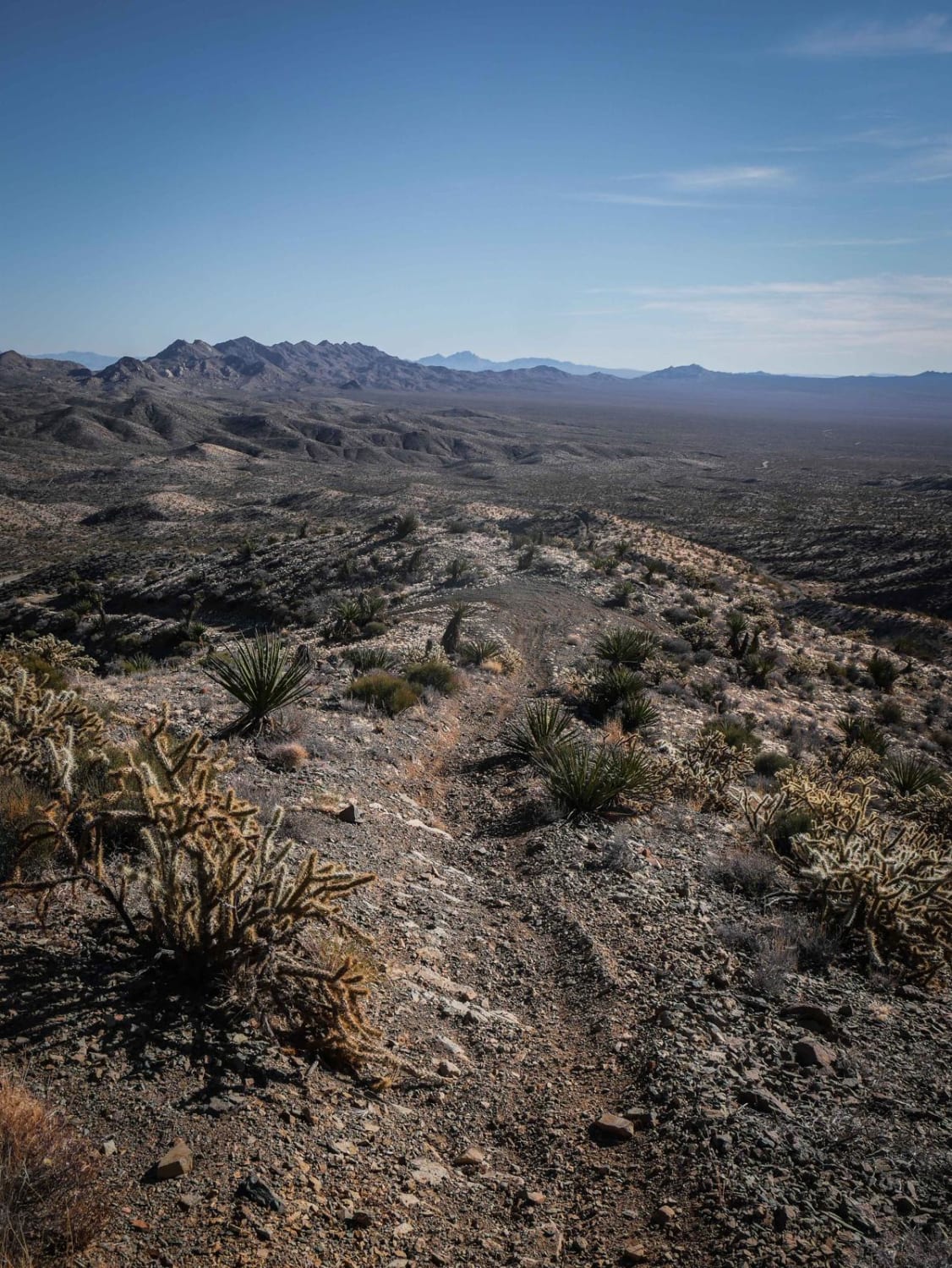
This is a 2.4-mile single track in the Nelson OHV Area with some tricky exposed sections that gains 1,300 feet to the top of a mountain peak with a radio tower. The north end starts in a wash on a windy trail through the bushes and cacti. There are lots of trails to choose from in the wash that often meet back up, but it's helpful to have your GPS track here. It climbs up and turns into a spine trail along a series of hills with narrow spots of exposure, off-camber and steep grades, embedded rocks, and loose rocks. There are several steep climbs that you need to carry momentum for and slip the clutch in a higher gear to get all the way up. It starts climbing up towards the radio tower on what looks like a goat trail that is narrow along the edge of the hillside. Near the top, it keeps going up a ridgeline with embedded rock faces and loose rock which is the most technical section of the trail. It's a tough climb all the way up to the radio tower, getting really loose at the end, but it ends with a cool view of the entire valley. The whole trail goes through lots of sections of yucca and cholla cactus to watch out for.
Photos of Radio Tower Single Track
Difficulty
This is an intermediate single track due to lots of loose and steep hill climbs that are often exposed and narrow.
Status Reports
Popular Trails

Boulder City Conservation Easement

South Wheeler Pass Road

Interstate 15 to Moapa Ride About

Pahrump to Mountain Springs
The onX Offroad Difference
onX Offroad combines trail photos, descriptions, difficulty ratings, width restrictions, seasonality, and more in a user-friendly interface. Available on all devices, with offline access and full compatibility with CarPlay and Android Auto. Discover what you’re missing today!


