Success Pond
Total Miles
3.1
Technical Rating
Best Time
Spring, Summer, Fall
Trail Type
Full-Width Road
Accessible By
Trail Overview
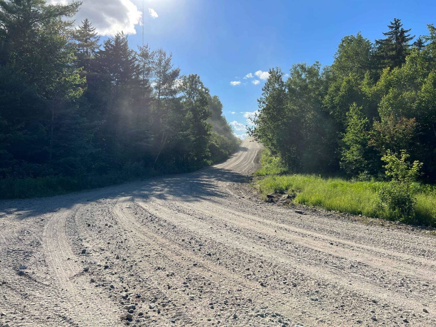
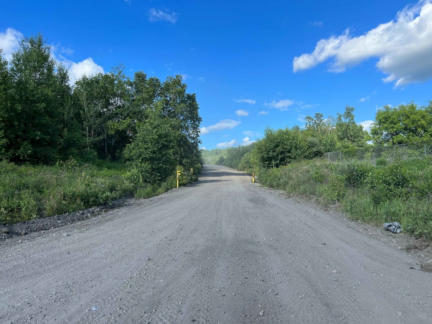
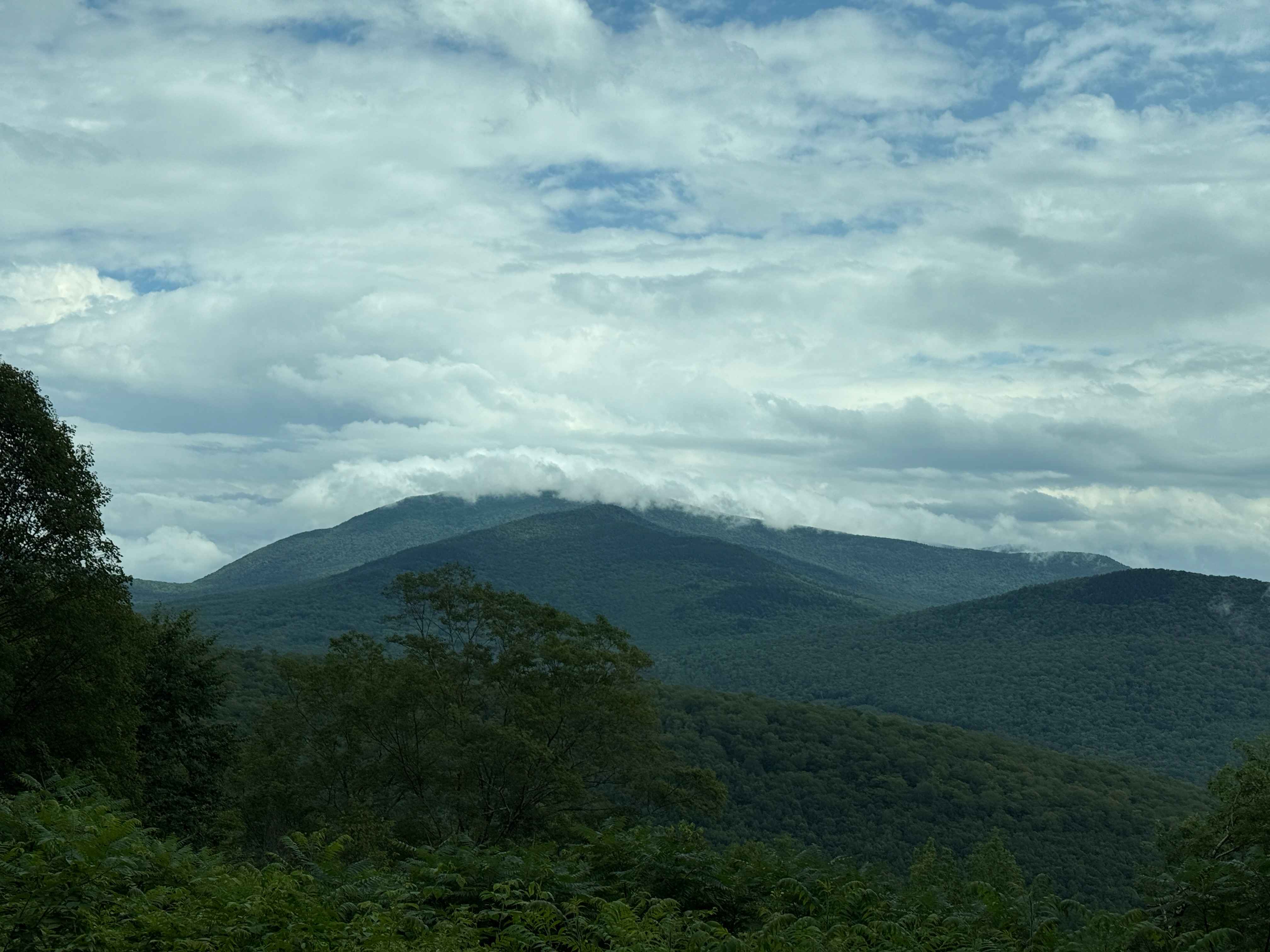
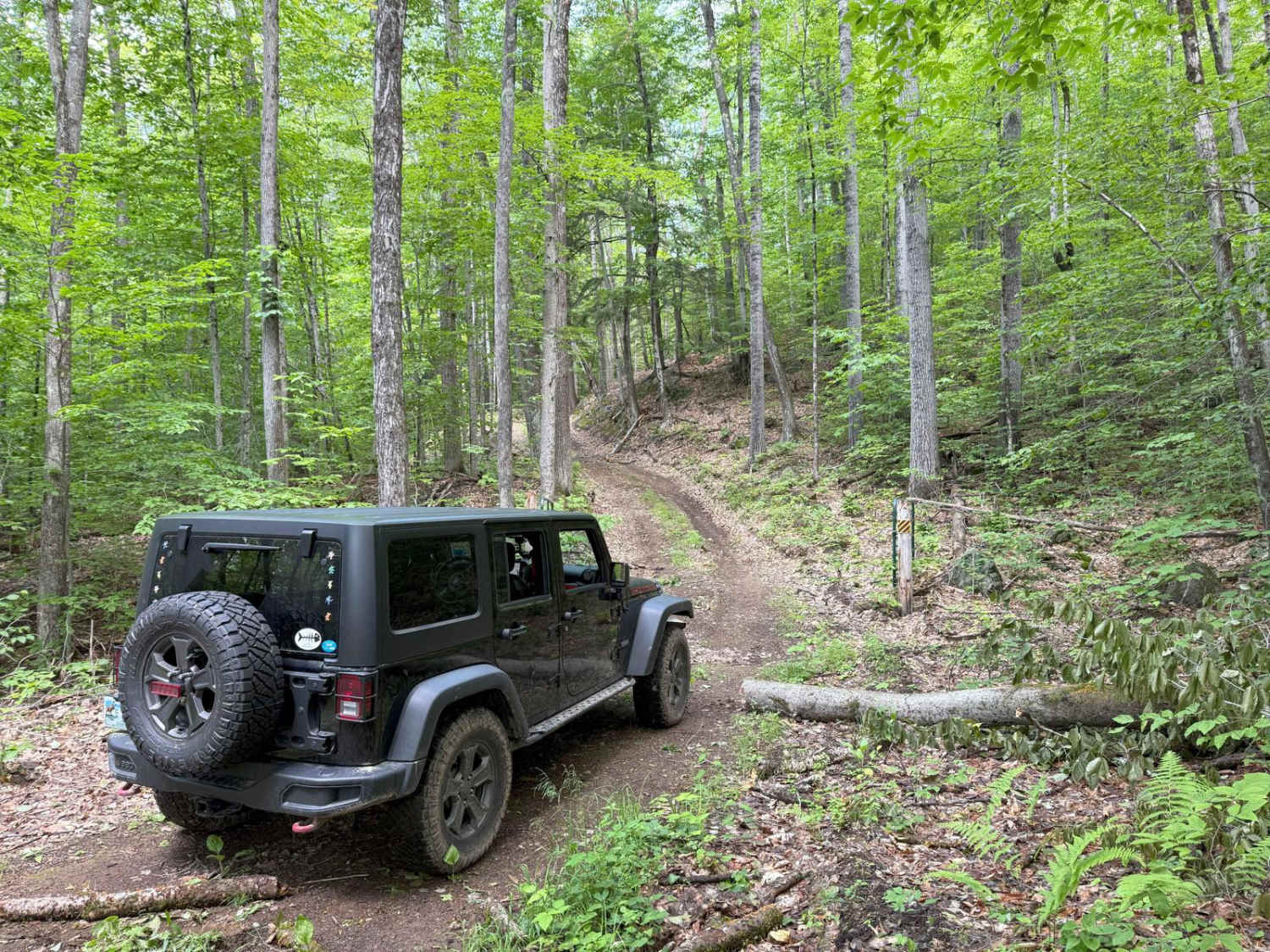
Success Pond is a wide but loose roadway with large rocks and sandy spots that extends to Success Pond to the North and on into Maine. There are many spur roads, private property, and OHV/ATV trailheads along this route, as well as mining operations. This road will take you deep into the New Hampshire and Main wilderness, far from civilization. If planning to continue further beyond the mapped road, plan for a multi-day adventure with the proper communications, recovery gear, first aid, food, and shelter to explore deep within the White Mountains and beyond. This is a heavily traveled route that many people rely on, so please respect private property, the roadway, and other travelers.
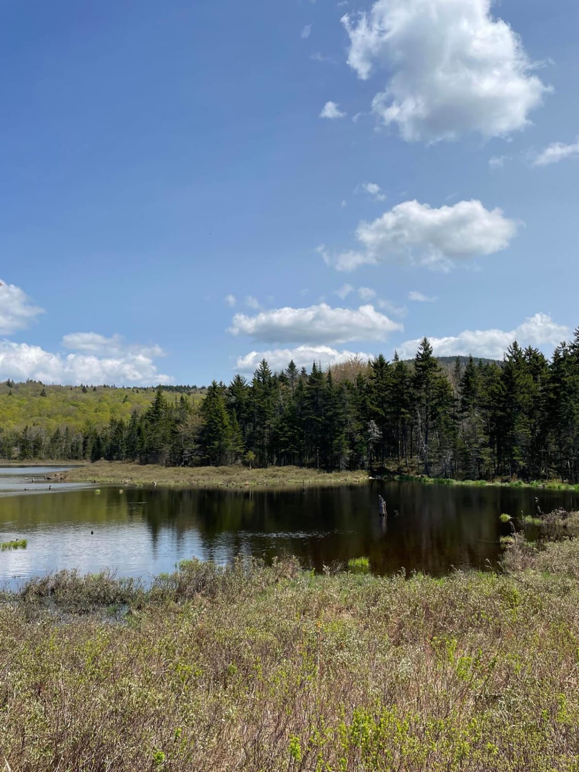
Photos of Success Pond
Difficulty
Well maintained gravel that can be loose with some sandy areas.
Status Reports
Success Pond can be accessed by the following ride types:
- High-Clearance 4x4
- SUV
Success Pond Map
Popular Trails
New Colony - Orange Road

Jefferson Notch Road
The onX Offroad Difference
onX Offroad combines trail photos, descriptions, difficulty ratings, width restrictions, seasonality, and more in a user-friendly interface. Available on all devices, with offline access and full compatibility with CarPlay and Android Auto. Discover what you’re missing today!
