Off-Road Trails in New Hampshire

Discover off-road trails in New Hampshire
Trail Length
Best Time of Year
Sort By
Learn more about Cedar Stream Road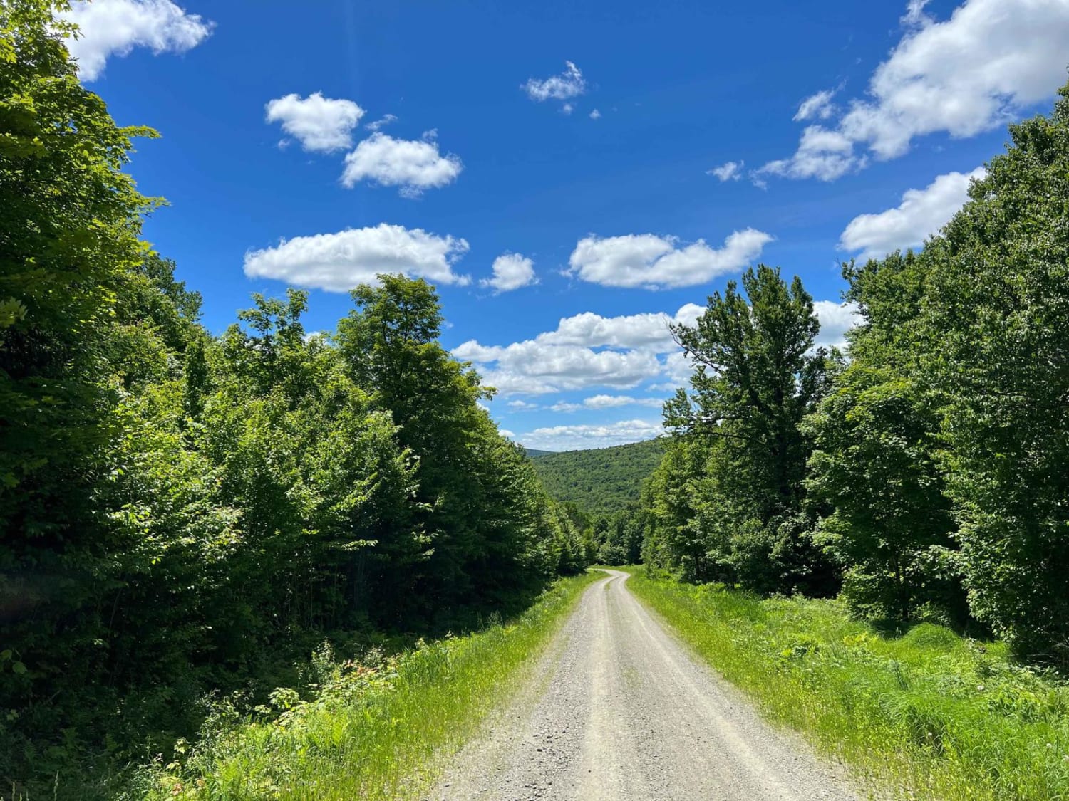
Cedar Stream Road
Total Miles
23.6
Tech Rating
Easy
Best Time
Spring, Summer, Fall
Learn more about Cherry Mountain
Cherry Mountain
Total Miles
5
Tech Rating
Easy
Best Time
Spring, Summer, Fall
Learn more about Cobble Hill Rd Trail
Cobble Hill Rd Trail
Total Miles
1.6
Tech Rating
Moderate
Best Time
Spring, Summer, Fall
Learn more about East Branch Saco River
East Branch Saco River
Total Miles
3.3
Tech Rating
Easy
Best Time
Spring, Summer, Fall
Learn more about Haystack Mountain Road
Haystack Mountain Road
Total Miles
4.9
Tech Rating
Easy
Best Time
Summer, Fall
Learn more about Haystack Road
Haystack Road
Total Miles
5.1
Tech Rating
Easy
Best Time
Spring, Summer, Fall
Learn more about Indian Stream Road to Terrill Pond
Indian Stream Road to Terrill Pond
Total Miles
14.9
Tech Rating
Easy
Best Time
Spring, Summer, Fall

Learn more about Magalloway Road to Hawk Road 
Magalloway Road to Hawk Road
Total Miles
14.1
Tech Rating
Easy
Best Time
Spring, Summer, Fall
Learn more about Meadow Brook Rd to Hawk Road 
Meadow Brook Rd to Hawk Road
Total Miles
3.3
Tech Rating
Easy
Best Time
Summer, Fall
Learn more about Natty's Route
Natty's Route
Total Miles
13.6
Tech Rating
Easy
Best Time
Spring, Summer, Fall
Learn more about New Colony - Orange Road 
New Colony - Orange Road
Total Miles
4.9
Tech Rating
Moderate
Best Time
Spring, Summer, Fall
Learn more about Trail 146 Indian Stream Road & Trail 141 East Branch Road
Trail 146 Indian Stream Road & Trail 141 East Branch Road
Total Miles
19.5
Tech Rating
Best Time

Viewing 20 of 21
The onX Offroad Difference
onX Offroad combines trail photos, descriptions, difficulty ratings, width restrictions, seasonality, and more in a user-friendly interface. Available on all devices, with offline access and full compatibility with CarPlay and Android Auto. Discover what you’re missing today!