Stokes Trail
Total Miles
4.2
Technical Rating
Best Time
Spring, Fall
Trail Type
Full-Width Road
Accessible By
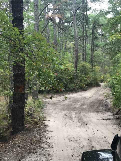
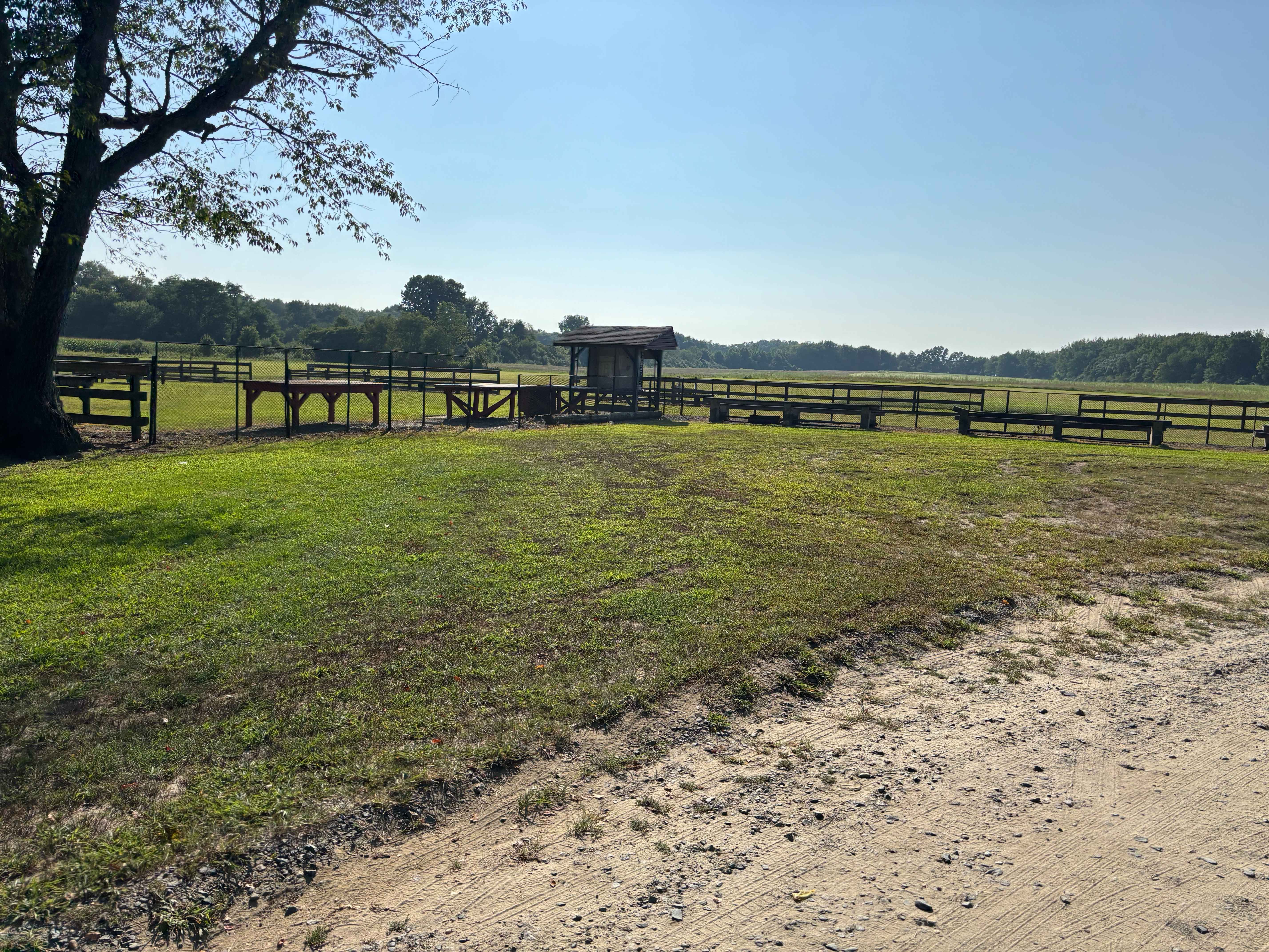
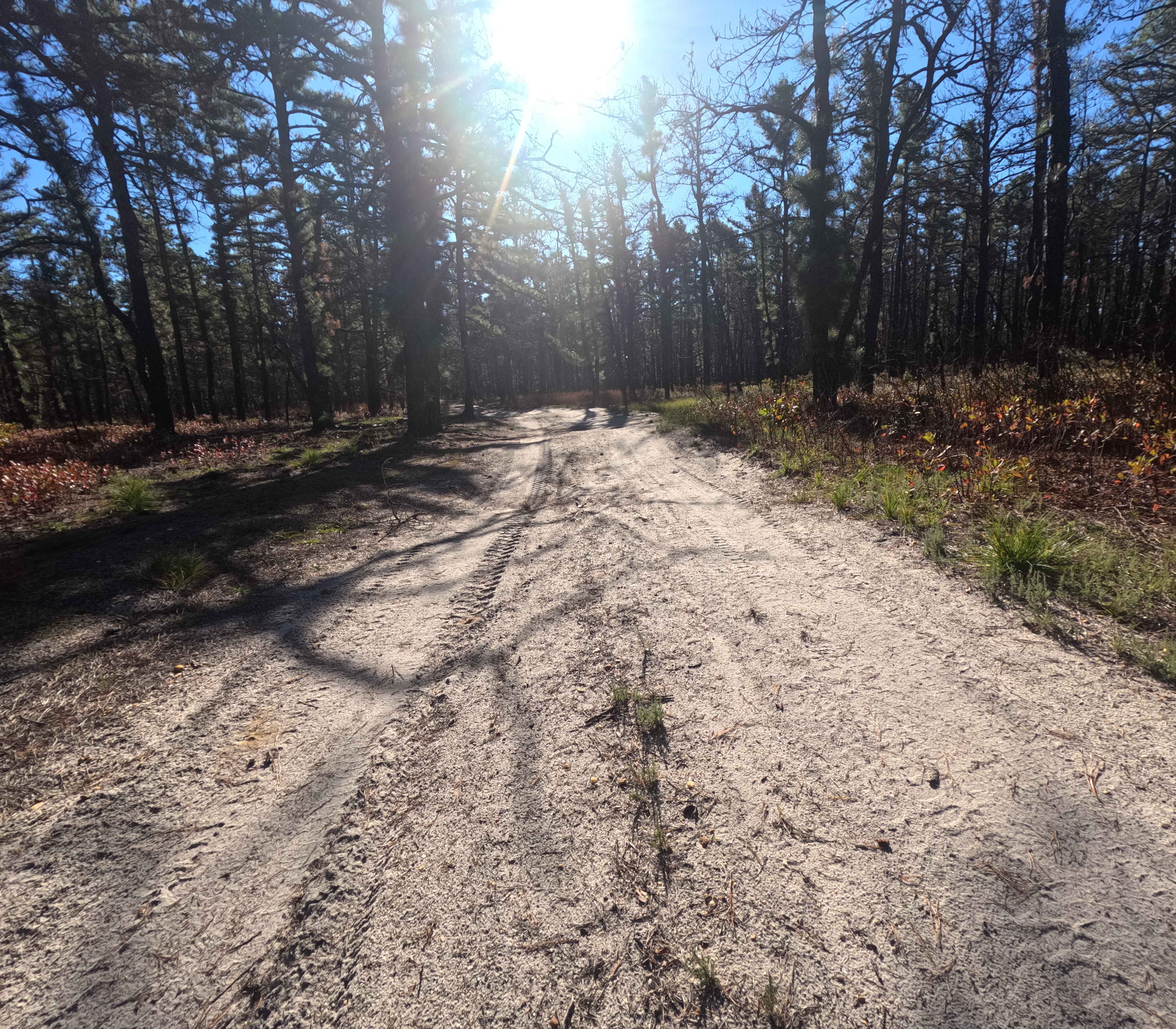
Trail Overview
Moderately easy trail running about 4-5 miles in length. The trail is rather smooth and easy when dry but is prone to flooding. The southern end of the trail contains heavily whooped sections that can make it easy for you to bottom out if you do not take your time. You can also access sections of the Batsto River for relaxation or canoe launching.
Photos of Stokes Trail

Difficulty
This trail is prone to flooding and creating deep mud holes in some sections, you may get pinstriping from tight areas.
Status Reports
Stokes Trail can be accessed by the following ride types:
- High-Clearance 4x4
- SUV
- SxS (60")
- ATV (50")
- Dirt Bike
Stokes Trail Map
Popular Trails
UTT Connector Trail

Forked River Mountain Summit

Jay's Iron Pipe Road
The onX Offroad Difference
onX Offroad combines trail photos, descriptions, difficulty ratings, width restrictions, seasonality, and more in a user-friendly interface. Available on all devices, with offline access and full compatibility with CarPlay and Android Auto. Discover what you’re missing today!