Arroyo Hondo Forest Service 79
Total Miles
4.8
Technical Rating
Best Time
Summer, Spring, Fall
Trail Type
Full-Width Road
Accessible By
Trail Overview
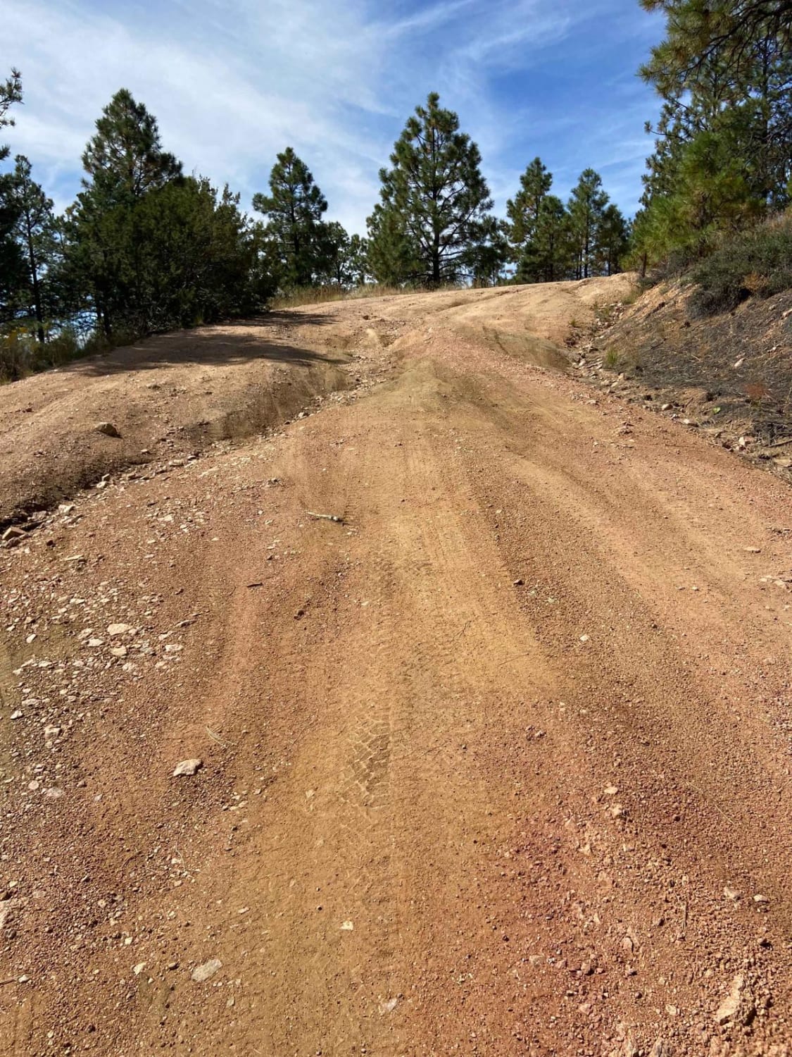
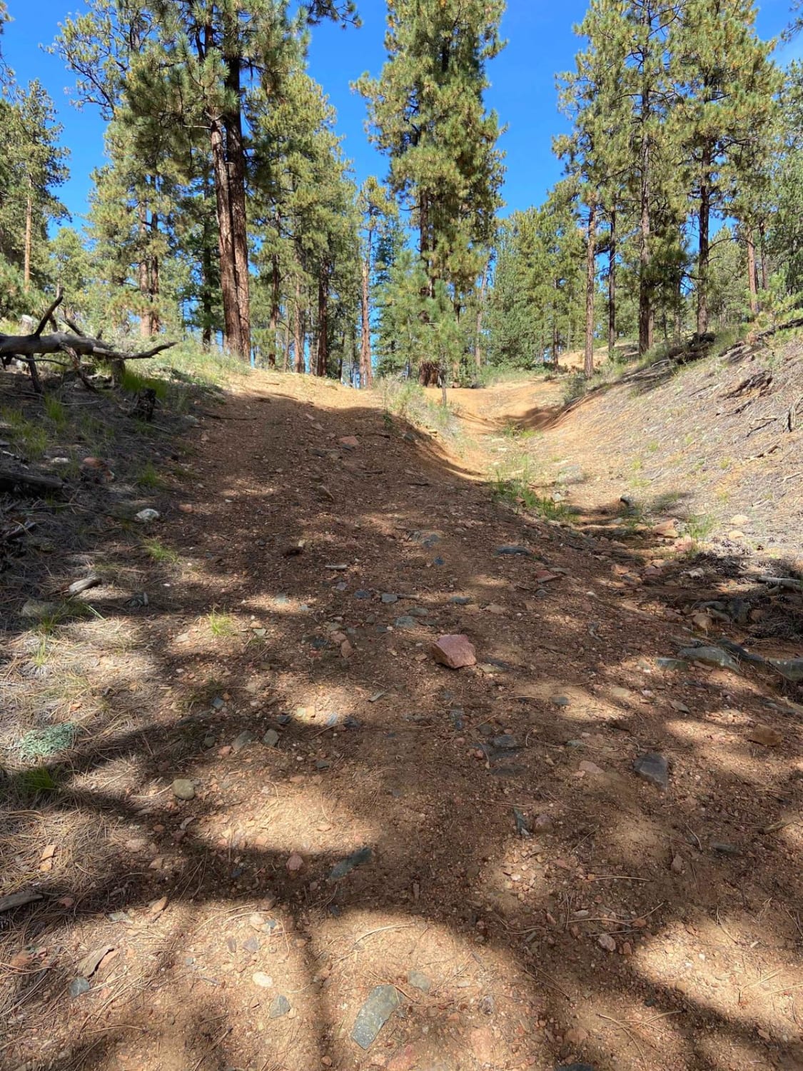
Forest Service road that climbs a wide loose and rutted road. There are many shallow ruts and a few deep ruts that must be navigated around if clearance is an issue. There is a very steep descent about 2.5 miles past the Santa Fe National Forest signs or about 0.25 miles past the rough parking lot. This descent leads you into a valley where the trail changes to a grass-covered and slightly muddy doubletrack. The end of this trail ends at the watershed boundary and is therefore an out-and-back. There are numerous single-track mountain bike trails off the sides of this trail, there are also numerous short pullouts that are mostly a dead end.
Photos of Arroyo Hondo Forest Service 79
Difficulty
The beginning of this trail can be navigated by just about any moderate clearance vehicle with some care and thought, but past the rough parking area toward the top of the trail the trail is extremely steep and likely impossible to turn around. It would be advisable to scout ahead to assess the terrain before proceeding too far.
Status Reports
Arroyo Hondo Forest Service 79 can be accessed by the following ride types:
- High-Clearance 4x4
- SUV
- SxS (60")
- ATV (50")
- Dirt Bike
Arroyo Hondo Forest Service 79 Map
Popular Trails
Guaje Connector
Bear Mountain Foothills
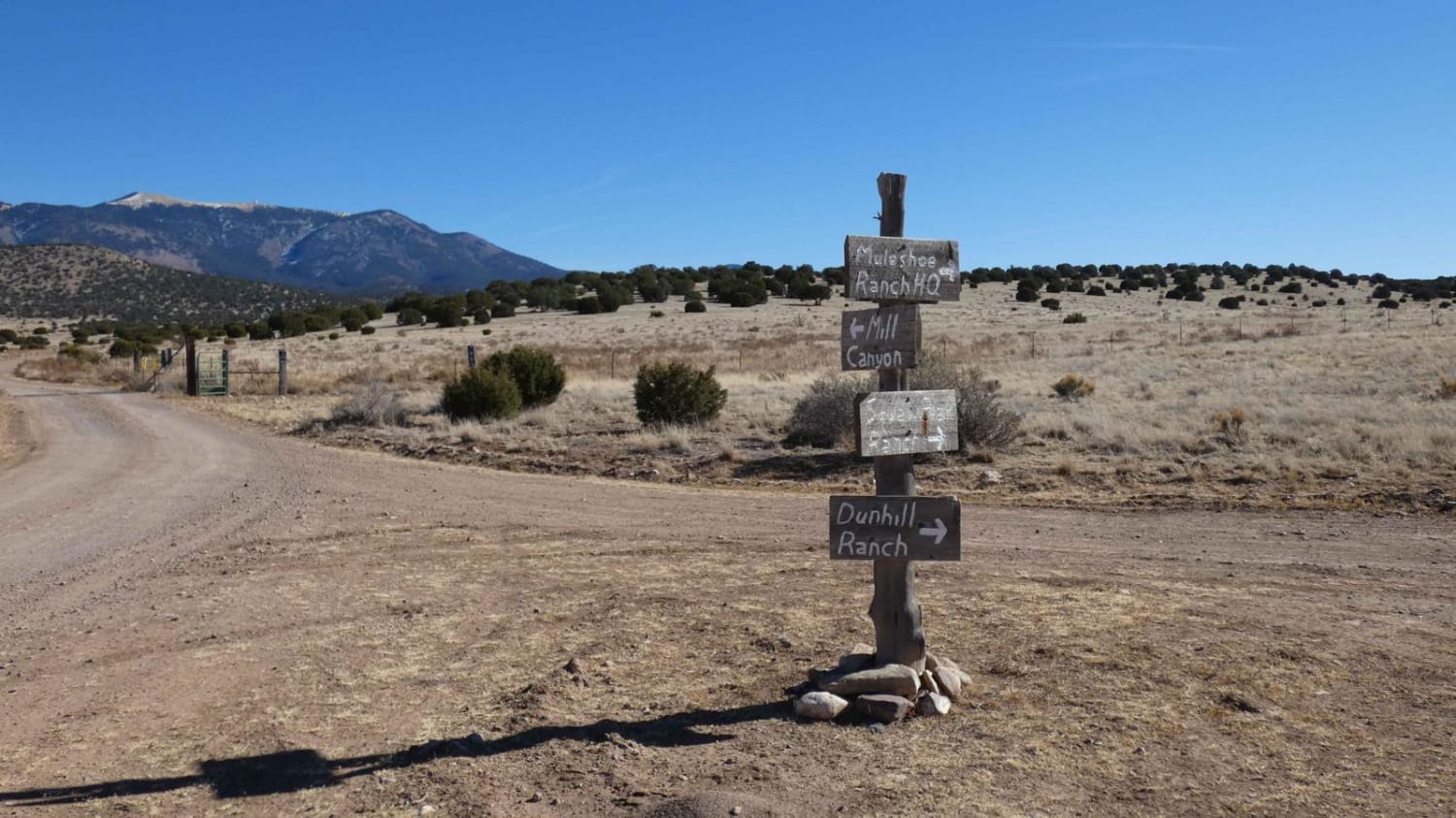
Mill Canyon
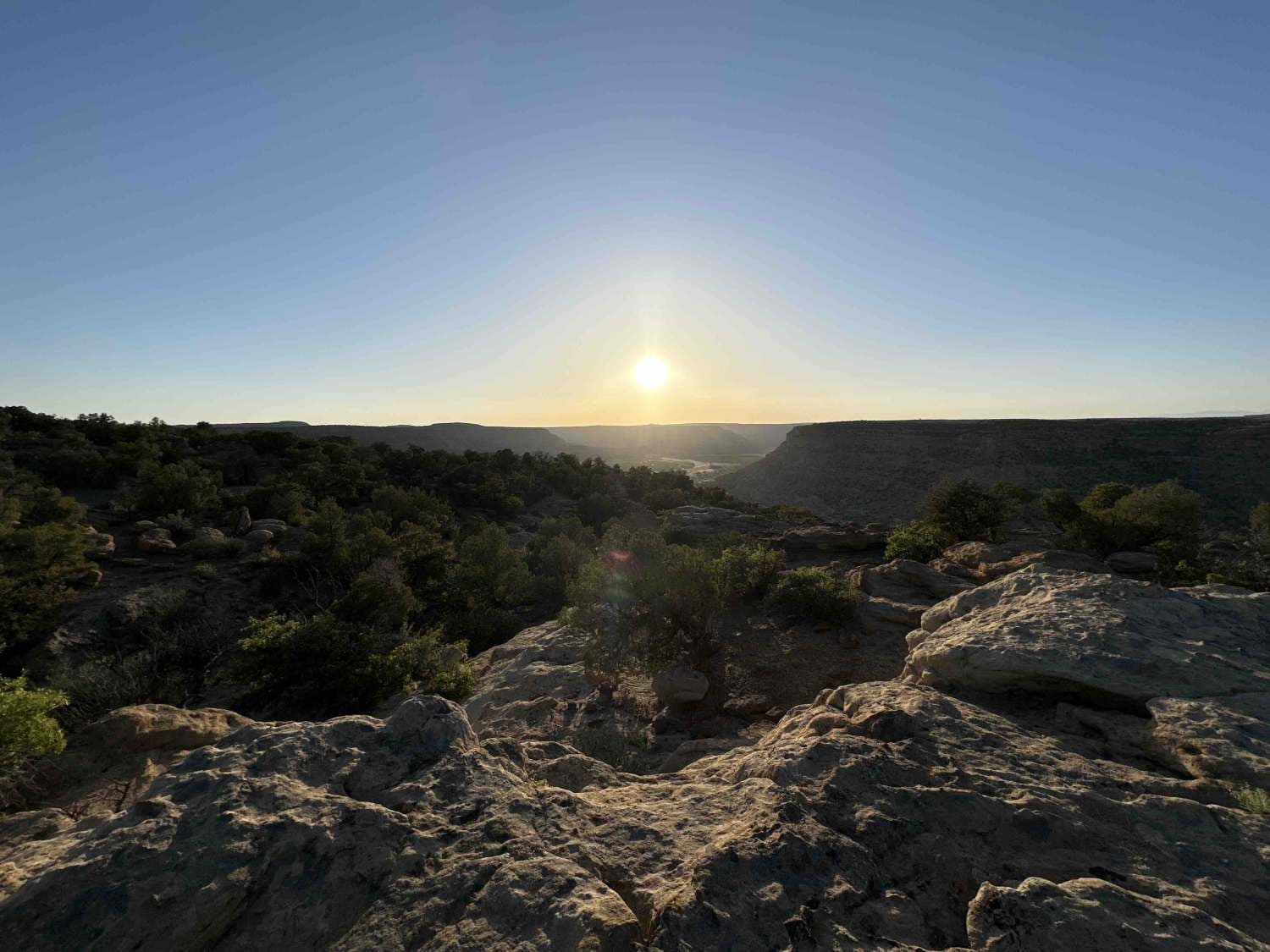
Crow Canyon Overlook/Road 550
The onX Offroad Difference
onX Offroad combines trail photos, descriptions, difficulty ratings, width restrictions, seasonality, and more in a user-friendly interface. Available on all devices, with offline access and full compatibility with CarPlay and Android Auto. Discover what you’re missing today!
