Baney Canyon
Total Miles
7.8
Technical Rating
Best Time
Spring, Summer, Fall, Winter
Trail Type
Full-Width Road
Accessible By
Trail Overview
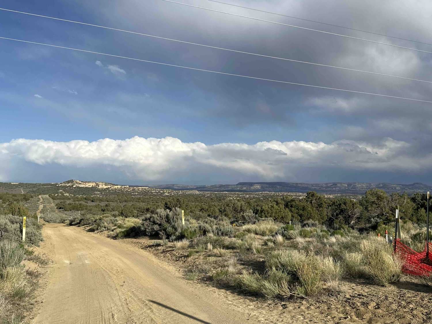
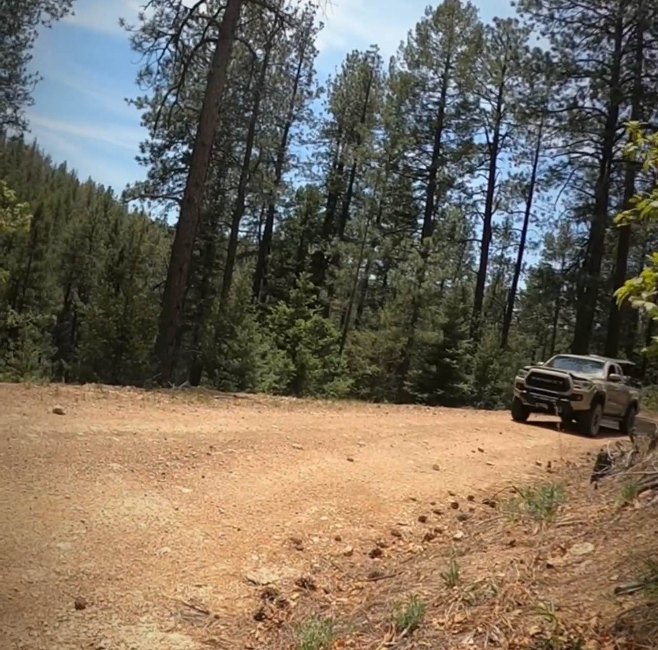
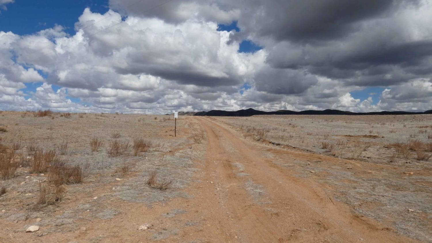
Located in the northwestern foothills of the San Mateo Mountains range, Baney Canyon features an overall well-maintained road. The surface changes from dirt to rocky sections several times, with a few low-lying washes, but will be easily completed by most high-clearance 2WD and AWD vehicles. Most of the track is single-vehicle wide, but there is substantial room to pull off if necessary. Views are wide and vast in every direction with the Cibola National Forest to the east and northwest and the Gila National Forest to the southwest and west. Dispersed camping is not permitted within the Forest Service area, however, the trail does pass through BLM land at both entry points and there are several designated dispersed campsites in these sections. This is a point-to-point trail that connects to SR-52 at both its north and south entrances and the trail can be run in either direction. There are 2 additional motorized spurs towards the northern portion of the trail and a few non-designated hiking trails that can be spotted along the route.
Photos of Baney Canyon
Difficulty
Drivers will encounter some small sections of rocks and low washes, but there are no obstacles larger than 10 inches for the entirety of the trail.
Status Reports
Baney Canyon can be accessed by the following ride types:
- High-Clearance 4x4
- SUV
- SxS (60")
- ATV (50")
- Dirt Bike
Baney Canyon Map
Popular Trails

Arizona to Center Point Fire Station 2

Santa Fe National San Geronimo Back Road

Hang Glider Road

San Pedro Mountain Views - FS 91
The onX Offroad Difference
onX Offroad combines trail photos, descriptions, difficulty ratings, width restrictions, seasonality, and more in a user-friendly interface. Available on all devices, with offline access and full compatibility with CarPlay and Android Auto. Discover what you’re missing today!

