Big Rosa Canyon
Total Miles
6.1
Technical Rating
Best Time
Spring, Summer, Fall, Winter
Trail Type
Full-Width Road
Accessible By
Trail Overview
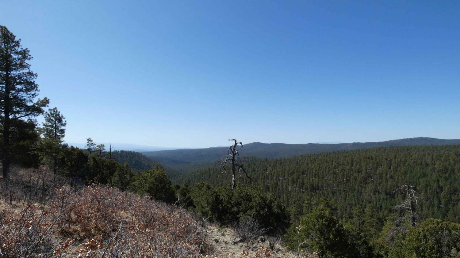
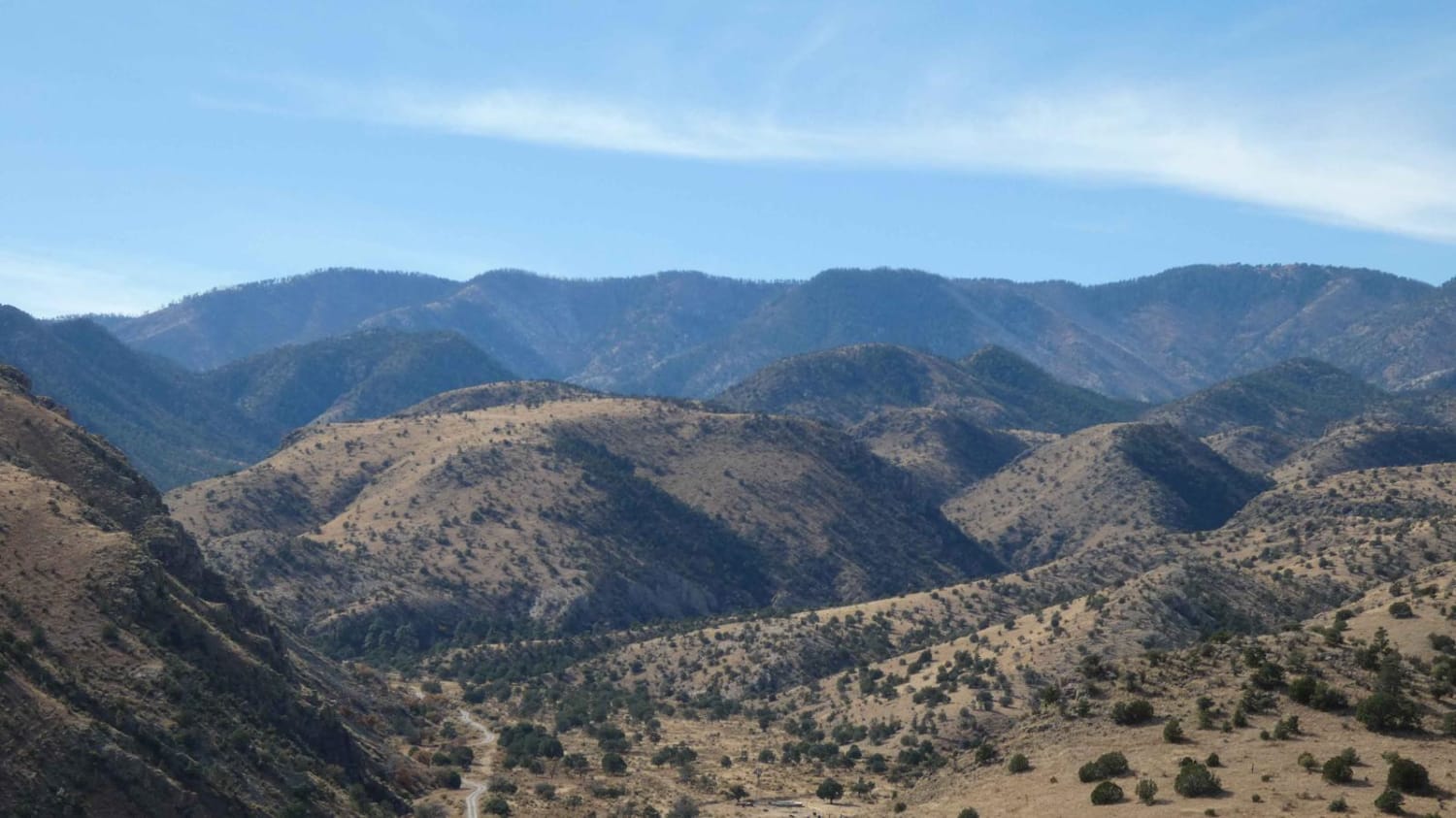
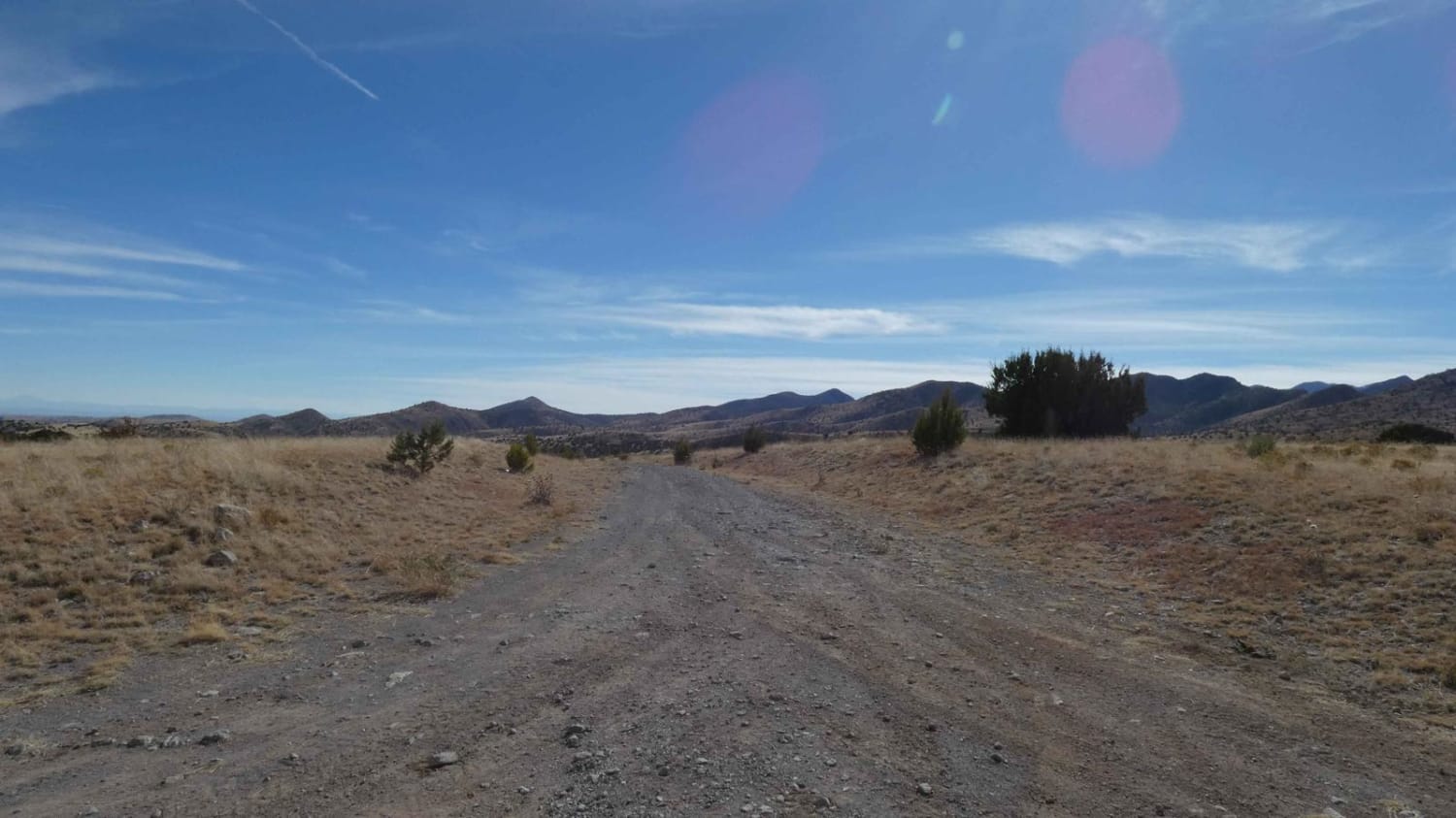
Big Rosa Canyon is a very diverse trail that runs along the east perimeter of the Withington Wilderness area. Starting at higher elevation, the views are wide open and give a glimpse of the canyons below as well as the surrounding mountains. Signs clearly indicate the road is primitive and it does not appear to be maintained frequently. The track is primarily a dirt and rock surface towards the beginning but does have low-lying washes that are softer sand with some loose rocks and ruts. As the trail descends into the canyons, the surface becomes more gravel and rock with several areas showing signs of water runoff and small washes. Anyone exploring the area should be aware of any heavy rains as this is a burn scar area and is prone to flooding as indicated by the notification signs. The track is mainly a single-vehicle two-track but does provide room to pass with the exception of a few small sections where trees and foliage are more dense. There are a couple of small grades, light rutting, and off-camber sections, but most 4x4 and 4WD vehicles will be able to complete the trail without issue. Dispersed camping is permitted after the first 1.5 miles just past where FSR-56 intersects with FSR-1103. This is an out-and-back trail that ends at the Withington Wilderness boundary with a nice secluded dispersed campsite. There are a couple of short motorized spurs off the main track and several designated hiking trails that provide more areas of exploration. Wildlife is active in the area with deer and coyotes frequenting the trail. Cell service is moderate at the beginning of the trail and drops to no service once in the canyons.
Photos of Big Rosa Canyon
Difficulty
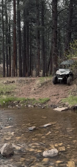
Drivers can expect low grade ascents/descents, minor rutting, and shallow soft sandy washes. There are some larger loose rocks along the trail, but no obstacles larger than 12 inches. The area is prone to water runoff after heavy rains and washes have the potential to be shallow water crossings.
Status Reports
Big Rosa Canyon can be accessed by the following ride types:
- High-Clearance 4x4
- SUV
- SxS (60")
- ATV (50")
- Dirt Bike
Big Rosa Canyon Map
Popular Trails

Tusas Ridge

Middle Largo Canyon

Cow Creek Loop
The onX Offroad Difference
onX Offroad combines trail photos, descriptions, difficulty ratings, width restrictions, seasonality, and more in a user-friendly interface. Available on all devices, with offline access and full compatibility with CarPlay and Android Auto. Discover what you’re missing today!


