Coyote Exit
Total Miles
1.3
Elevation
1,647.37 ft
Duration
0.5 Hours
Technical Rating
Best Time
Spring, Summer, Winter, Fall
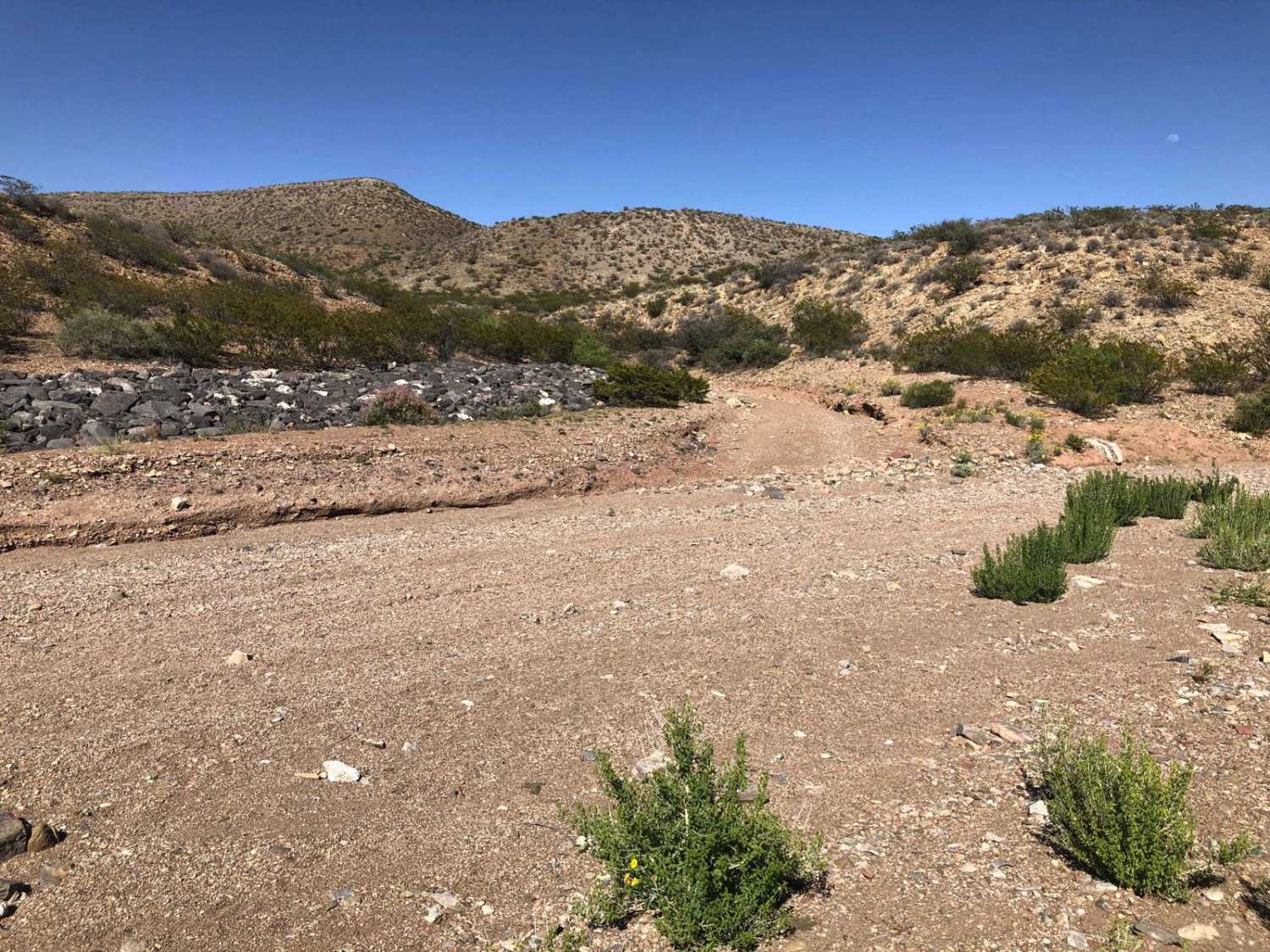
Trail Overview
Coyote Exit begins just off the Quebradas Backcountry Byway, works its way around the Cerillos de Coyote plateaus, and culminates into a panorama overlook of the surrounding mountain ranges. This includes the Sierra de la Campana, Fra Cristobal, Chupadera, San Mateo, Magdalena, and Sierra Ladrones Mountains, as are the Socorro, Strawberry, and Polvadera Peaks. The trail itself has some loose rocks and small boulders scattered throughout and a mild climb up to the overlook area. This trail is typically run in reverse and used as an exit for the extreme-rated Coyote Hills trail, however, it can be run in an out-and-back configuration.
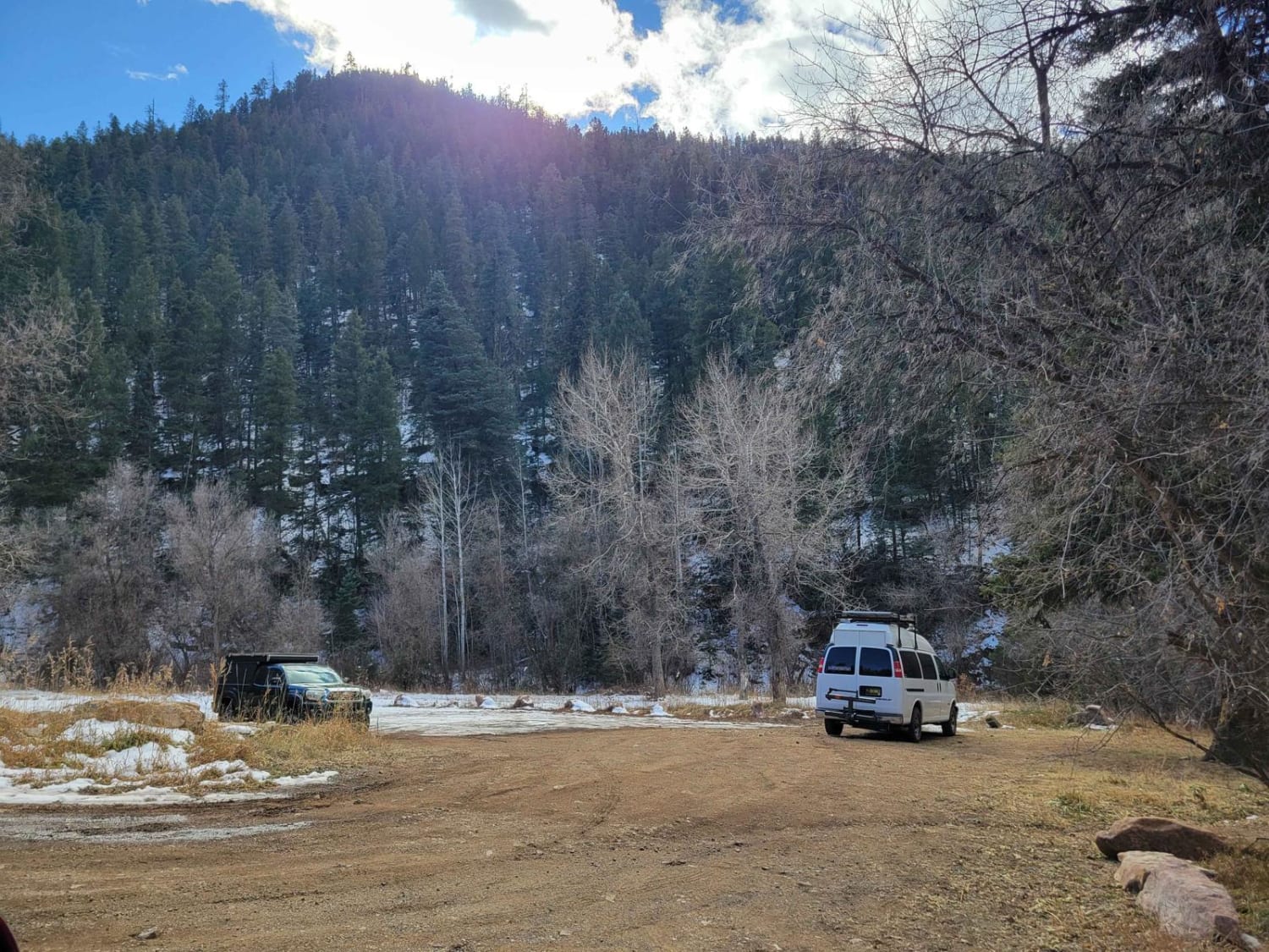
Photos of Coyote Exit

Difficulty
Expect small loose boulders with very minor off-camber sections.
Status Reports
Popular Trails
FS 91 Old Tyrone Road
Jim Lewis Canyon
Angel Peak Picnic and Campground
Dalton Canyon
The onX Offroad Difference
onX Offroad combines trail photos, descriptions, difficulty ratings, width restrictions, seasonality, and more in a user-friendly interface. Available on all devices, with offline access and full compatibility with CarPlay and Android Auto. Discover what you’re missing today!