Davenport Canyon FS6
Total Miles
12.6
Technical Rating
Best Time
Spring, Summer, Fall, Winter
Trail Type
Full-Width Road
Accessible By
Trail Overview
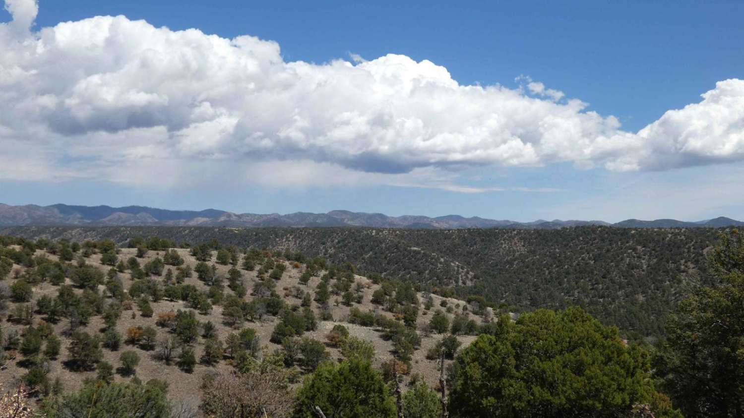
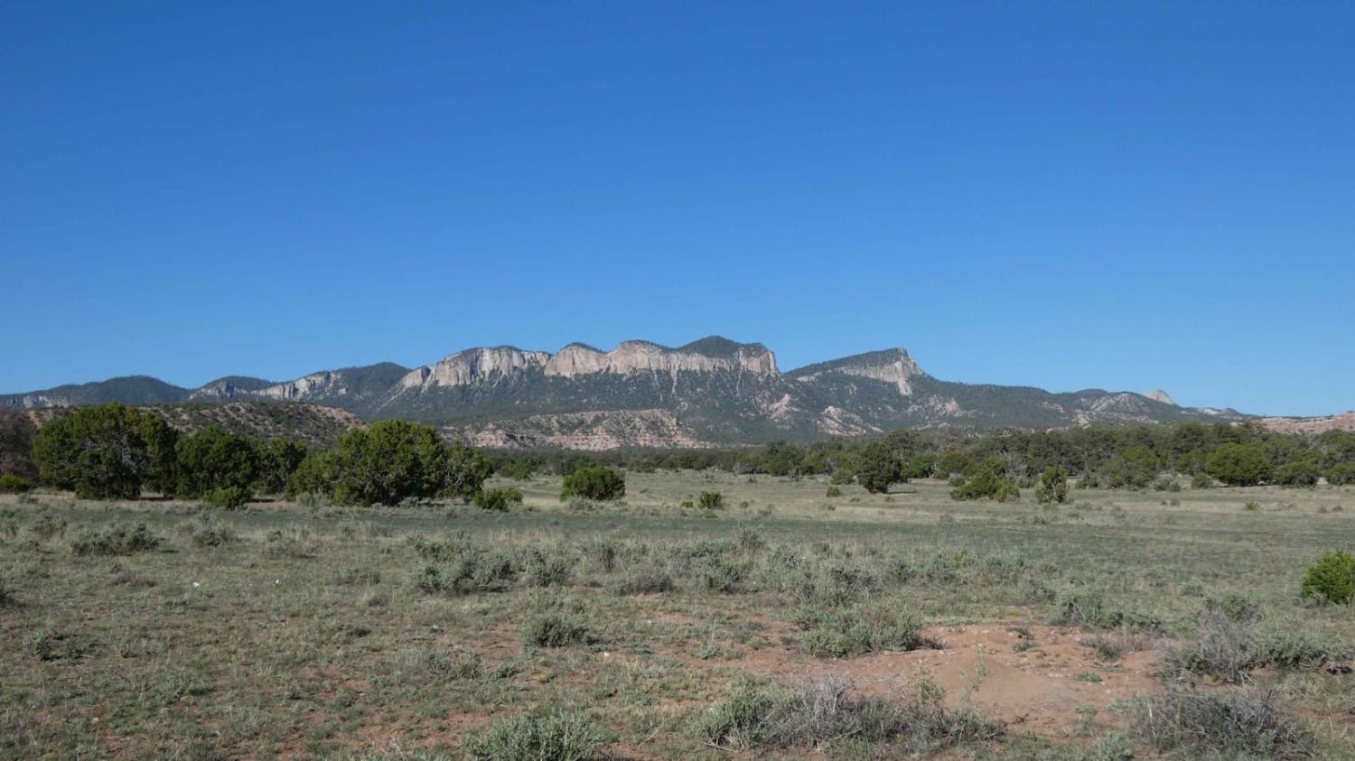
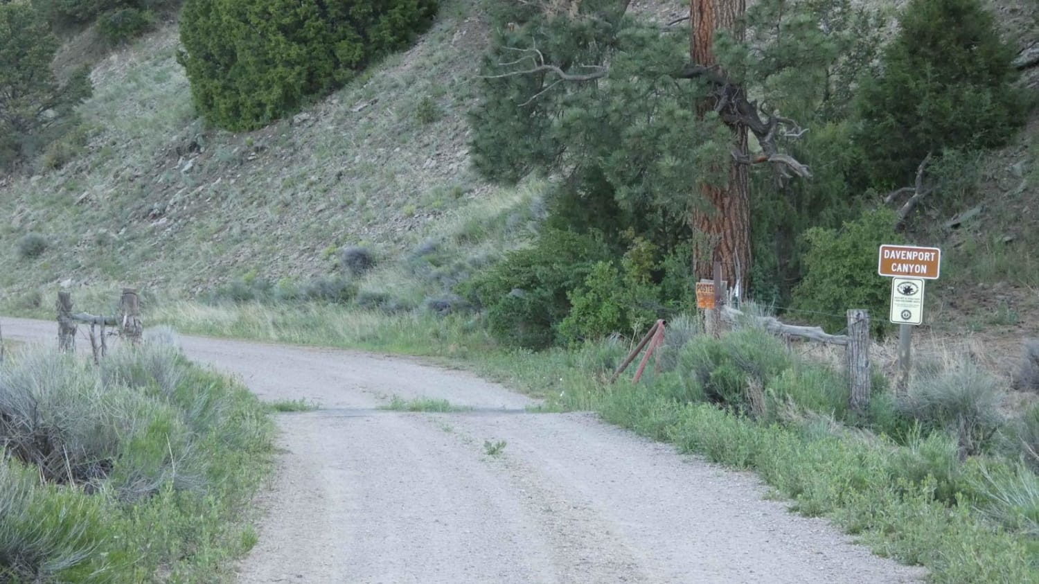
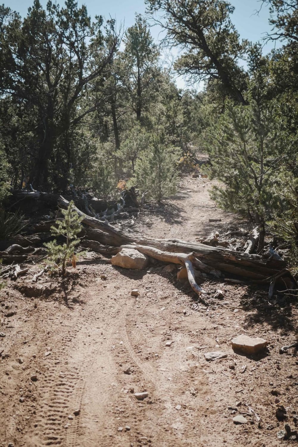
This out-and-back trail runs through the central portion of the Datil Mountain Range and offers a little bit of everything from dirt and rocks to low-level washes that have the potential to be water crossings after heavy rains or snow melt. There are areas that show signs of erosion and heavy rutting with some areas showing recent repairs due to washouts. Expect the soft dirt surface to be very muddy after rain or snow and rutting and erosion to become worse. The trail is just over one vehicle wide with room to pass except in a few areas where the trail is narrowed due to brush and foliage. There are no obstacles larger than 12" along this route and it should be easily completed by 4WD vehicles and some AWD with applicable ground clearance. The low-lying wash areas and dry river beds are comprised of very soft sand and dirt and should be taken with caution after rains. There are some short steeper grades but none in excess of 12 percent grade. The views change throughout the trail but do provide great vantage points of the Sawtooth Mountains and Madre Mountain. Cattle are present in the area and are slow to move from the roadway. Cell service is moderate through the trail with some areas being weak. There is no dispersed camping permitted along this trail and is noted with FS signage. There is a private land area roughly 3 miles from the start of the trail, be sure to stay on the main road and check speeds through this area. The trail also ends at a private land boundary and should be treated as an out-and-back.
Photos of Davenport Canyon FS6
Difficulty
Expect some moderate rutting, short steeper grades, larger loose rocks, and sections of soft sand. Low-lying areas do have the potential to be shallow water crossings with one larger dry river bed area having the potential to flow a large amount of water after rains. The river bed is extremely soft and should be taken with AWD or 4X4 only.
Status Reports
Davenport Canyon FS6 can be accessed by the following ride types:
- High-Clearance 4x4
- SUV
- SxS (60")
- ATV (50")
- Dirt Bike
Davenport Canyon FS6 Map
Popular Trails

Powderhorn Ridge

FR 316 Coyote Canyon

Smooth Sailing
The onX Offroad Difference
onX Offroad combines trail photos, descriptions, difficulty ratings, width restrictions, seasonality, and more in a user-friendly interface. Available on all devices, with offline access and full compatibility with CarPlay and Android Auto. Discover what you’re missing today!


