Wolf Draw Trail
Total Miles
8.0
Technical Rating
Best Time
Spring
Trail Type
Full-Width Road
Accessible By
Trail Overview
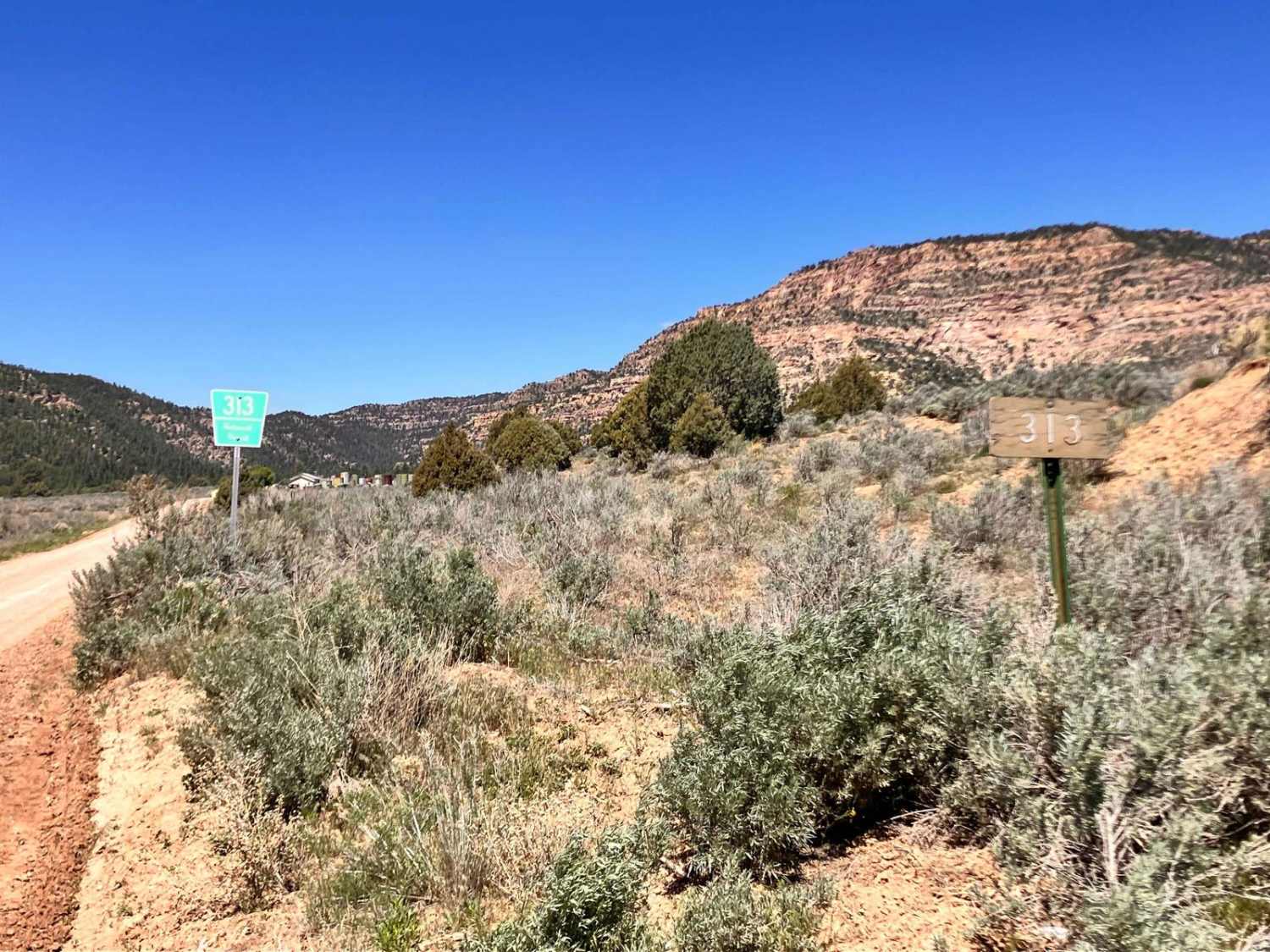
This trail offers a straightforward out-and-back journey through a stunning canyon, tracing Forest Road 313 for about a quarter of its length. As you embark on the trail, you'll encounter a picturesque water hole (one of many) nestled in the landscape before the path winds into the depths of the canyon. While much of the terrain consists of well-maintained forest roads, it's important to note that rainy seasons may introduce some additional challenges along the way. Additionally, you'll pass through a public easement, so it's crucial to stay on the designated trail for that short stretch.
Photos of Wolf Draw Trail
Difficulty
During your journey, you may encounter some deep ruts, especially after rain, along with possible shallow water crossings and washouts from flash floods. Additionally, the trail may narrow in a few areas, allowing only one vehicle to pass with small drops on either side. It's important to exercise caution and be prepared for these conditions as you explore the trail.
History
The area was once occupied by the Gallina people, an ancient Native American tribe that lived for hundreds of years separate from other tribes. Ancient ruins can be found in the area.
Status Reports
Wolf Draw Trail can be accessed by the following ride types:
- High-Clearance 4x4
- SUV
- SxS (60")
- ATV (50")
- Dirt Bike
Wolf Draw Trail Map
Popular Trails

View Point - FR 449 V

Valle Grande East Cut

Chain of Craters Backcountry Byway
The onX Offroad Difference
onX Offroad combines trail photos, descriptions, difficulty ratings, width restrictions, seasonality, and more in a user-friendly interface. Available on all devices, with offline access and full compatibility with CarPlay and Android Auto. Discover what you’re missing today!


