FS 422 Priest Canyon
Total Miles
16.3
Technical Rating
Best Time
Spring, Summer, Fall
Trail Type
Full-Width Road
Accessible By
Trail Overview
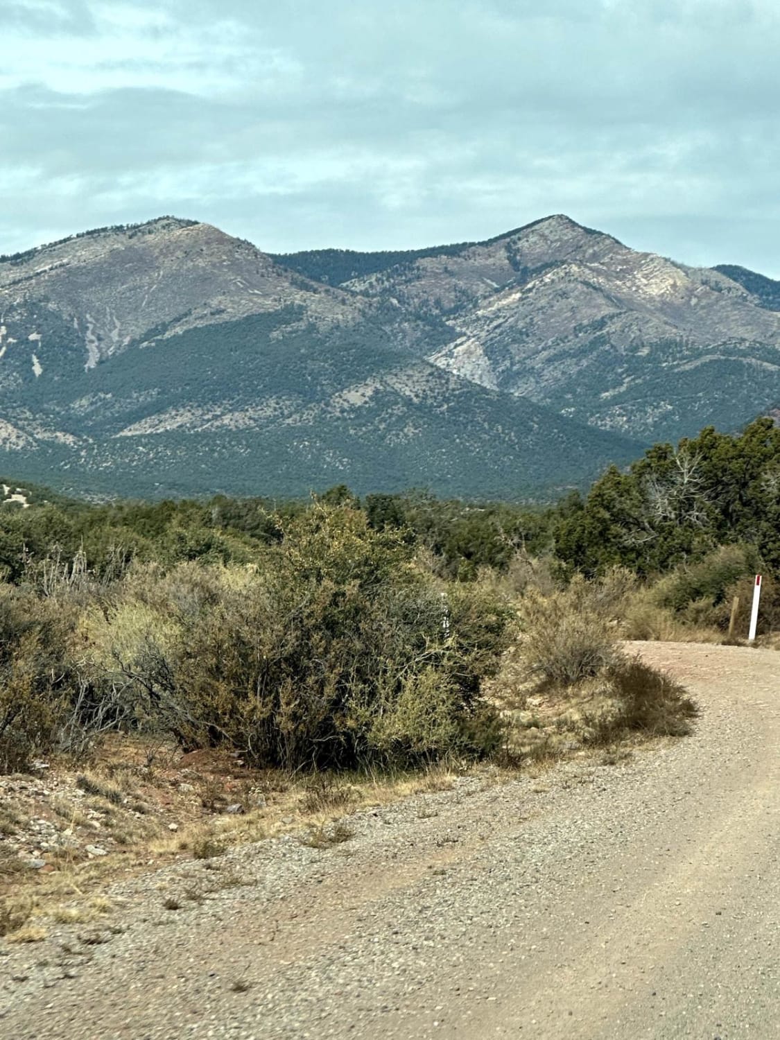
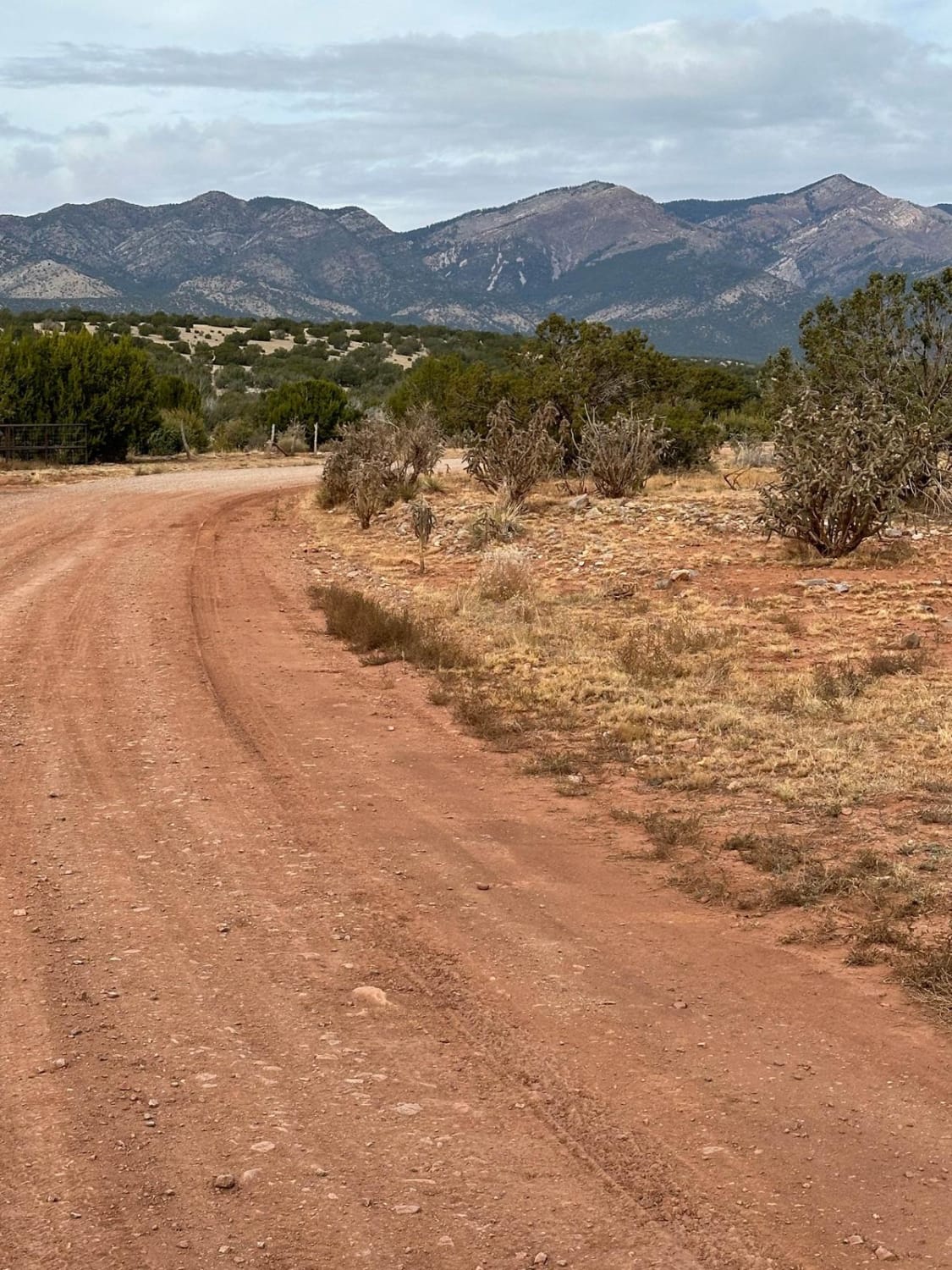
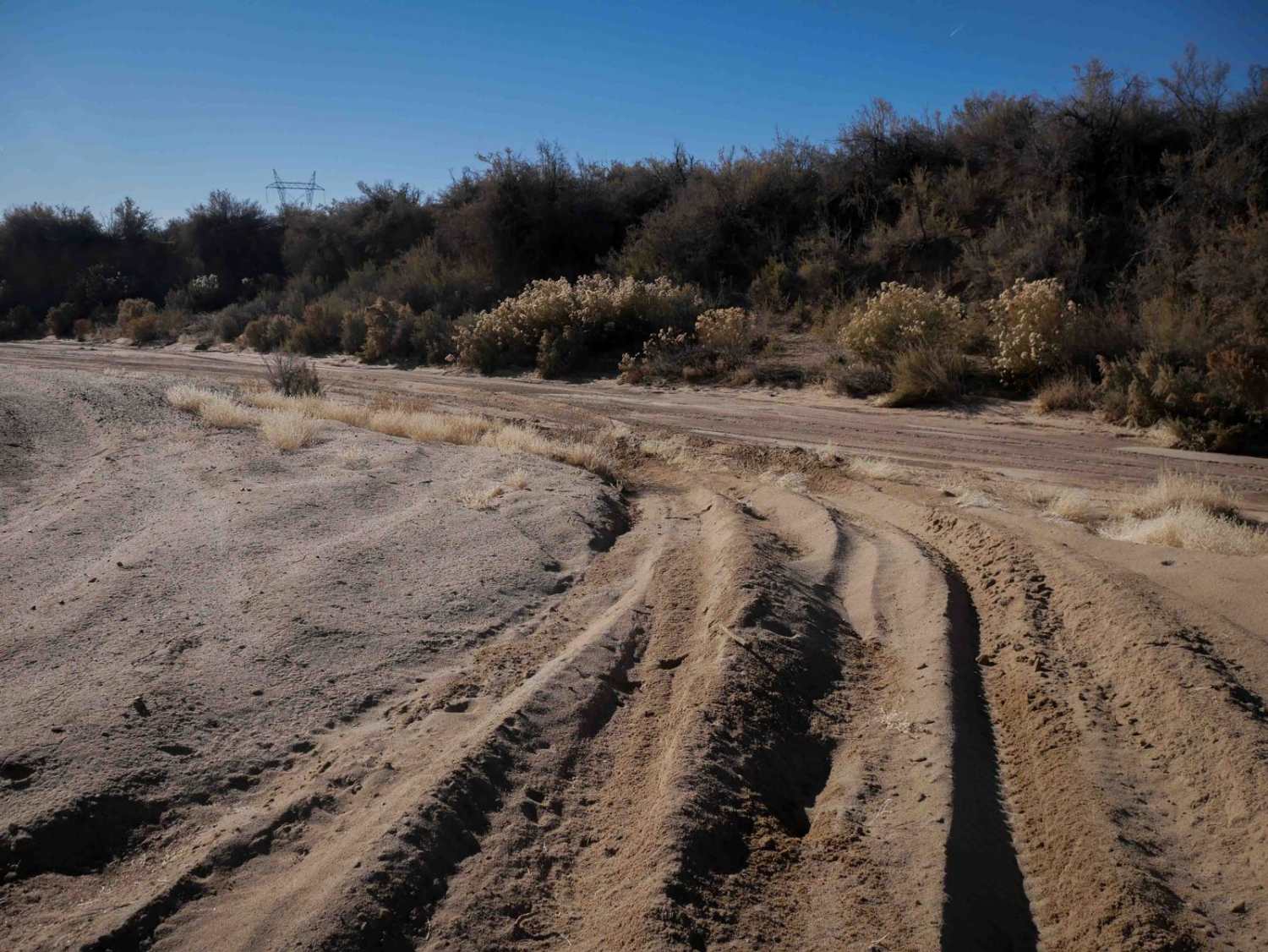
This route travels through the southern tip of the Manzano Mountains and connects the village of Manzano on State Highway 131 with State Highway 60. It travels along a right-of-way through private property on both ends before entering the Cibola Forest. The trail can be dusty and has a few low water crossings.
Photos of FS 422 Priest Canyon
Difficulty
This route has a few low water crossings and is narrow in spots.
History
The Manzano Mountains stretch about 40 miles (64 kilometers) from north to south and boast 27 major peaks, the most prominent of which is Manzano Peak at 10,098 feet (3,078 meters) in elevation. The name Manzano means apple. In the early 1700s, when Spanish explorers visited a small village on the eastern edge of these mountains, they discovered very old manzanos (apple trees), a fruit tree that is not native to this country. The mountain, a state park, and a small town have kept the name Manzano.
Status Reports
Popular Trails
Curtis Canyon
Rio Del Oso
Parsons - FSR108
The onX Offroad Difference
onX Offroad combines trail photos, descriptions, difficulty ratings, width restrictions, seasonality, and more in a user-friendly interface. Available on all devices, with offline access and full compatibility with CarPlay and Android Auto. Discover what you’re missing today!
