Mimbres River
Total Miles
4.7
Elevation
2,019.16 ft
Duration
1 Hours
Technical Rating
Best Time
Spring, Summer, Fall, Winter
Trail Overview
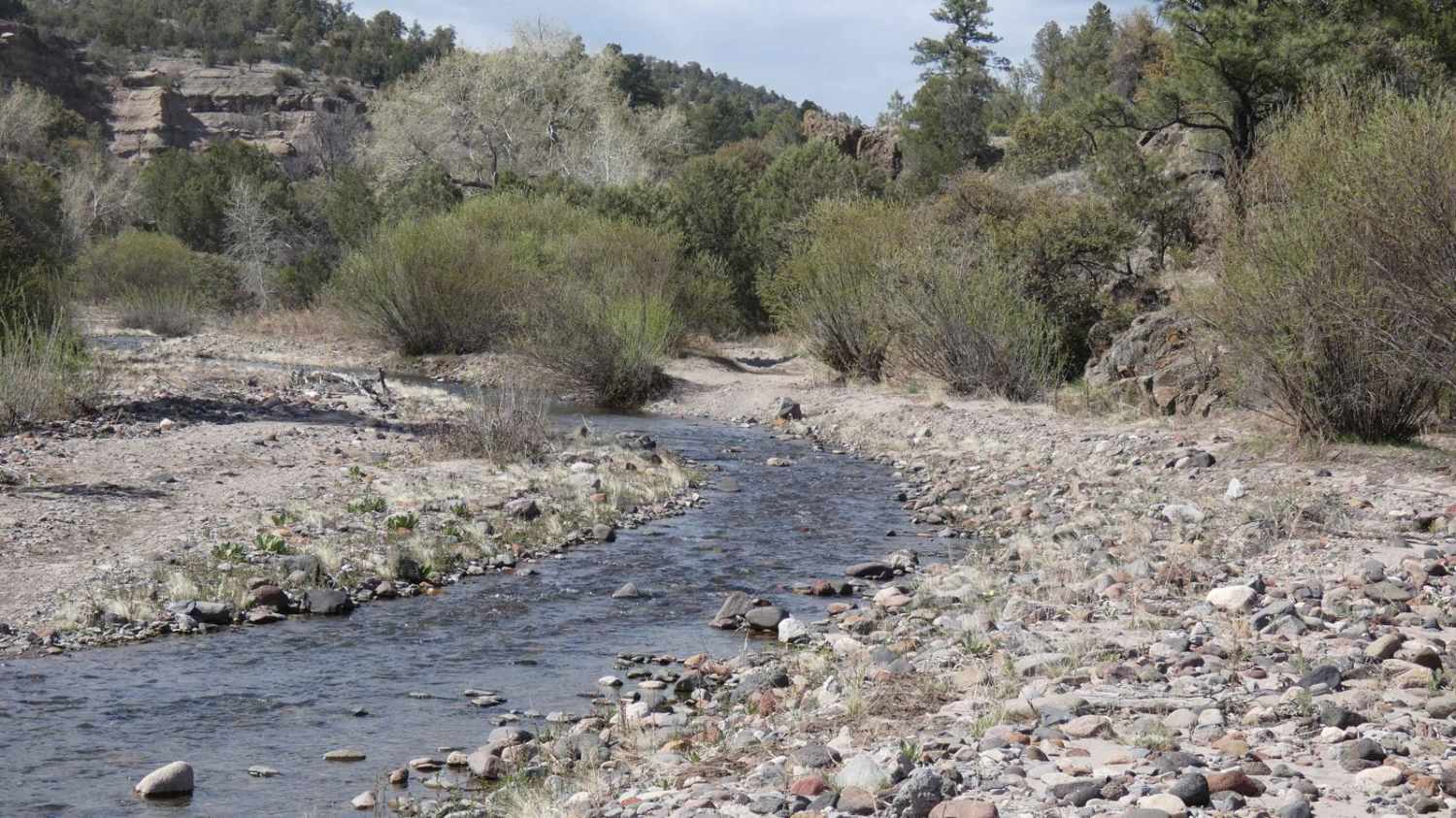
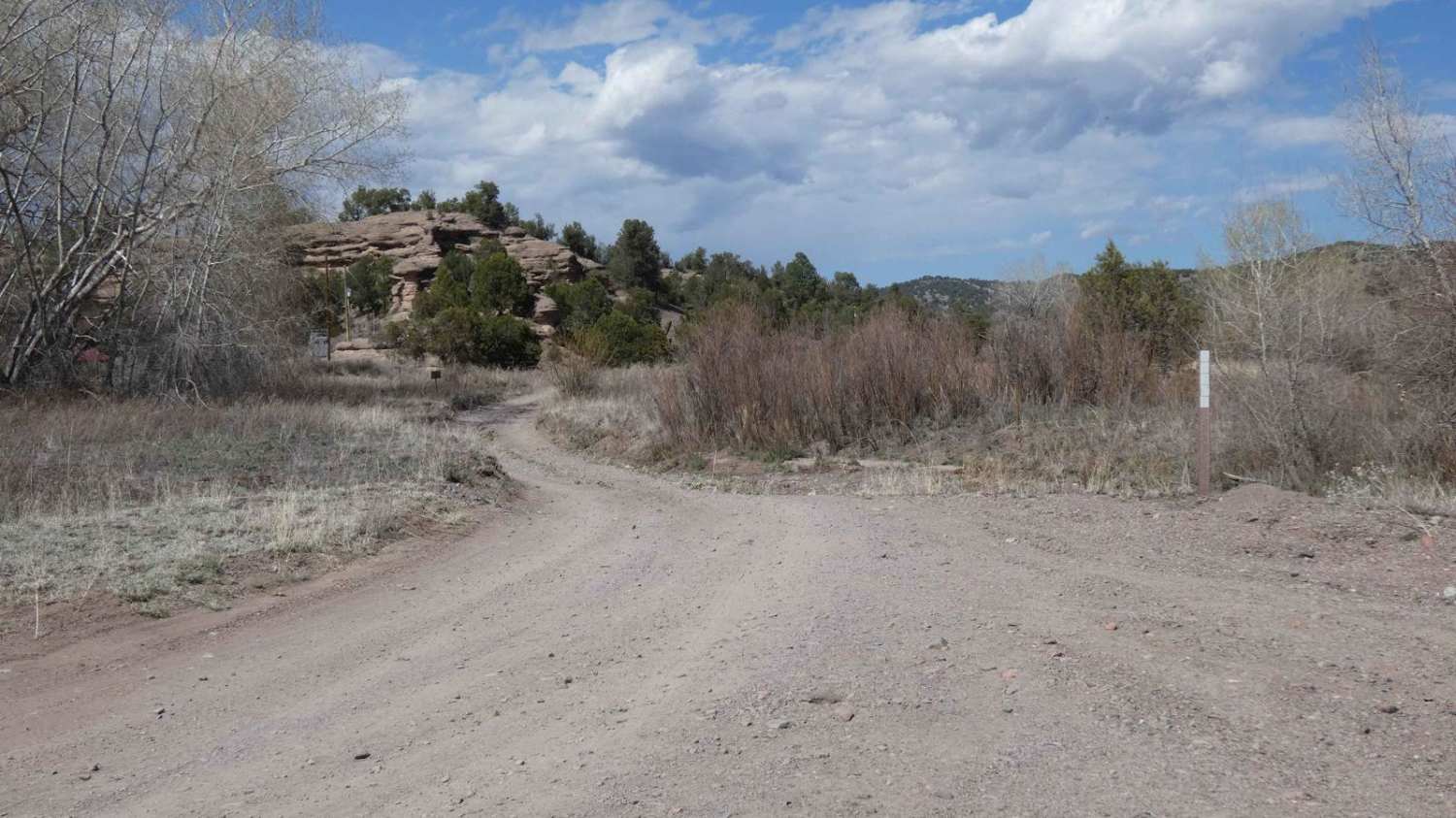
The Mimbres River trail has a wide variety of obstacles and multiple water crossings as it winds north and cuts through the river multiple times. Several of these water crossings can be up to 18 inches in depth and are met with some short, steep-grade shelves going into or coming out of the riverbed. There are also multiple sections with larger loose rocks, some up to 18 inches in size with several of them being in the water. Mud is minimal, however, the sections of the trail that run adjacent to the river are heavy silt beds and extremely dusty. The two-track trail is primarily single-vehicle-wide, but there are some small areas where pulling off to pass is possible. There are signs of water depth of over 36 inches and areas showing signs of flooding; drivers should be aware of the weather before proceeding into the canyon and river. There is no cell service after the first mile into the trail once vehicles enter the canyon area. This is an out-and-back trail that will be easily completed by most 4x4 vehicles that are mildly modified. Dispersed camping is permitted along this trail but only after crossing the large cattle guard that is approximately a half mile from the trail entrance. There are no signs designating the Gila National Forest boundary, but the cattle guard is where the NF land begins.
Photos of Mimbres River
Difficulty
Drivers will encounter several water crossings, many of which can be up to 18 inches in depth or deeper depending on weather conditions. There are also sections of larger loose rocks and large rocks within areas of the water that must be traversed. Sections of silt and soft dirt make the dry areas extremely dusty. There are also a few steep shelf drops and climbs coming in and out of the riverbeds.
Status Reports
Popular Trails
St. Peters Dome Wilderness Exploration Route

West Red Canyon
Cougar Mountain Road
Gear Grinder
The onX Offroad Difference
onX Offroad combines trail photos, descriptions, difficulty ratings, width restrictions, seasonality, and more in a user-friendly interface. Available on all devices, with offline access and full compatibility with CarPlay and Android Auto. Discover what you’re missing today!
