Munoz Creek/NFS 357
Total Miles
13.3
Technical Rating
Best Time
Spring, Summer, Fall
Trail Type
Full-Width Road
Accessible By
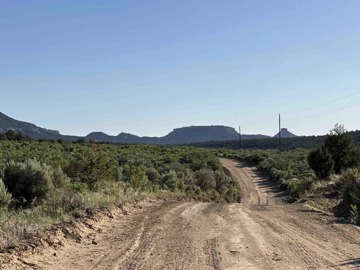
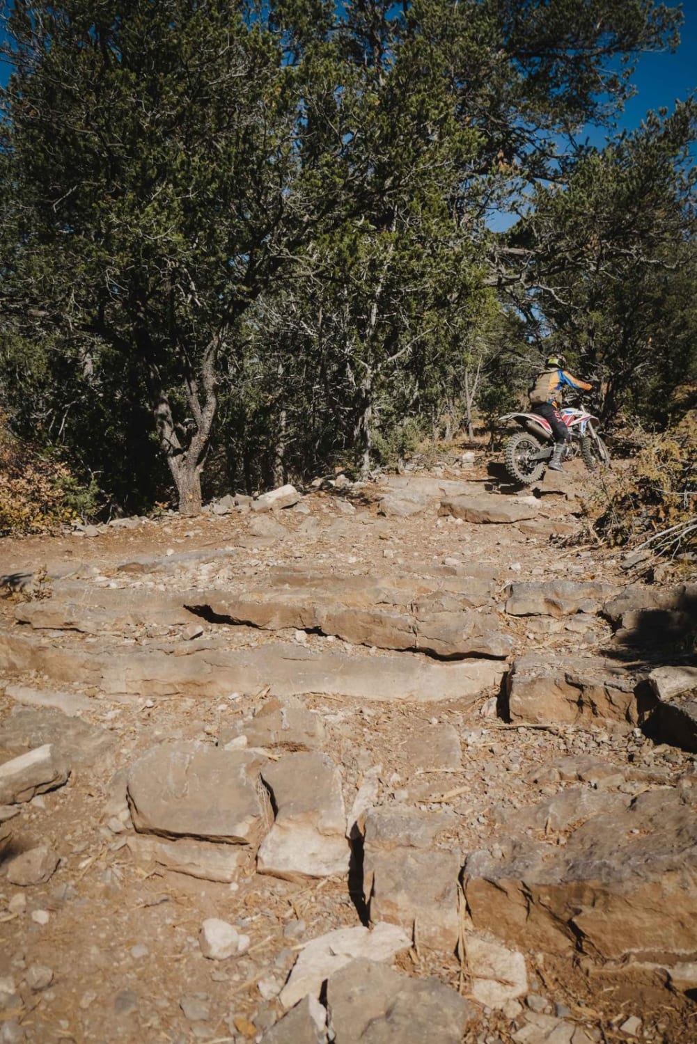
Trail Overview
This route descends almost a thousand feet from Carson National Forest and Lagoona Seca Mesa to meander 5.5 miles along Munoz Canyon before meeting the Hill Road Pueblito trail. Initially a well kept, graded NFS road rolling among ponderosa pines, blue spruce and the occasional juniper tree, after crossing over into BLM land the trail becomes a good deal rougher, descending into desert juniper and pinon pines before making way to sagebrush, hoodoos and various rock formations. Deer, jackrabbits and occasionally elk can all be spotted along this trail.
Photos of Munoz Creek/NFS 357

Difficulty
On the descent down into the canyon, there is some ledging and exposed rock, upon reaching the canyon floor there are occasional sandy washes and heavy rutting.
Status Reports
Munoz Creek/NFS 357 can be accessed by the following ride types:
- High-Clearance 4x4
- SUV
- SxS (60")
- ATV (50")
- Dirt Bike
Munoz Creek/NFS 357 Map
Popular Trails

Willow Creek/Shrine Mine Road

The onX Offroad Difference
onX Offroad combines trail photos, descriptions, difficulty ratings, width restrictions, seasonality, and more in a user-friendly interface. Available on all devices, with offline access and full compatibility with CarPlay and Android Auto. Discover what you’re missing today!