Willow Creek/Shrine Mine Road
Total Miles
7.0
Technical Rating
Best Time
Spring, Summer, Winter, Fall
Trail Type
Full-Width Road
Accessible By
Trail Overview
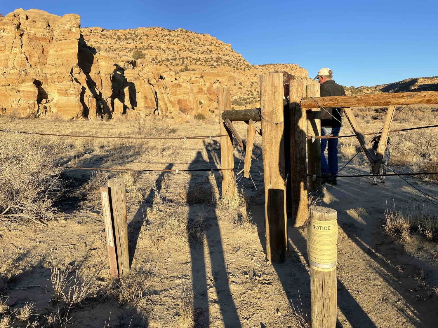
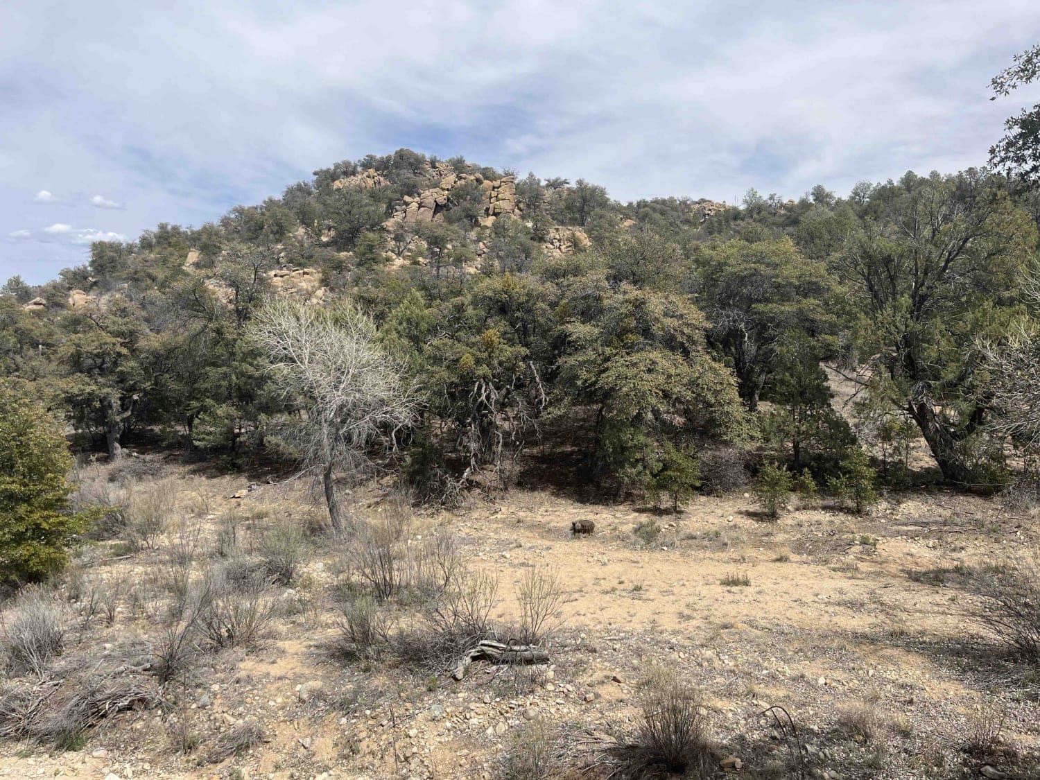
This is an easy scenic drive with great views. This road is a great way to get into the Burro Mountains from the north or exit back to pavement from the south. It crosses private property on the north end. Stay on the road and leave gates as you find them. The ranching and mining history of the area is evident on this trail.
Photos of Willow Creek/Shrine Mine Road
Difficulty
This is generally very easy with a couple of moderate climbs. Portions of the route are double track but should be passable year-round.
History
There's a historic corral on the north end of the trail. Several mines are in the area.
Status Reports
Willow Creek/Shrine Mine Road can be accessed by the following ride types:
- High-Clearance 4x4
- SUV
- SxS (60")
- ATV (50")
- Dirt Bike
Willow Creek/Shrine Mine Road Map
Popular Trails

Largo Canyon to Crow Canyon

FR 315B Elk Meadows

Anna's Ridge

Bear Trail
The onX Offroad Difference
onX Offroad combines trail photos, descriptions, difficulty ratings, width restrictions, seasonality, and more in a user-friendly interface. Available on all devices, with offline access and full compatibility with CarPlay and Android Auto. Discover what you’re missing today!

