North Star - Sapillo to Chloride Canyon
Total Miles
53.2
Technical Rating
Best Time
Spring, Summer, Fall, Winter
Trail Type
Full-Width Road
Accessible By
Trail Overview
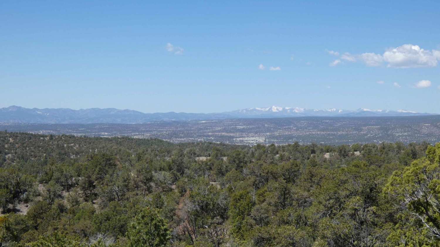
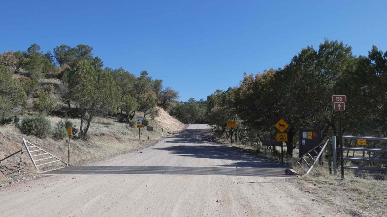
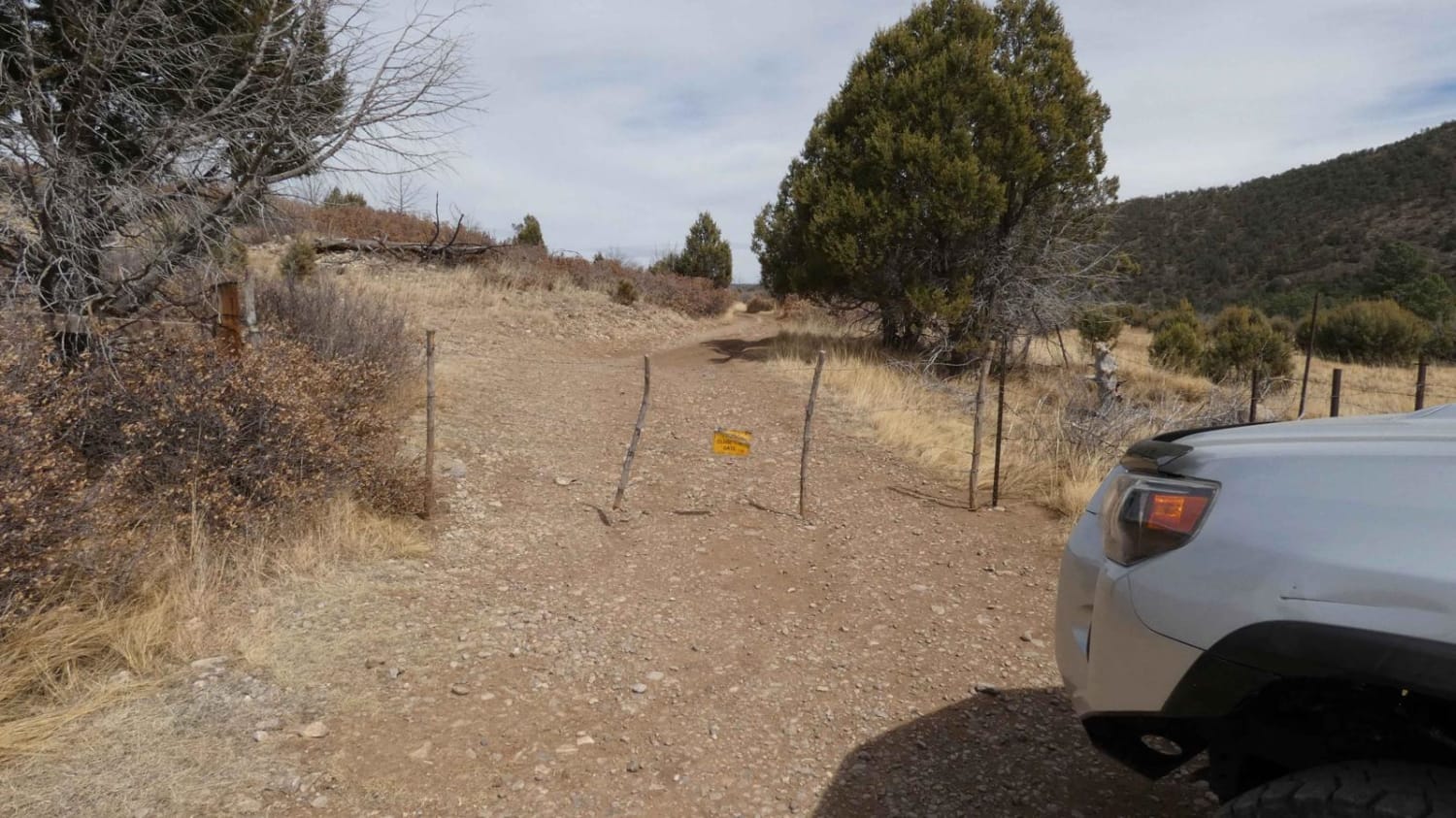
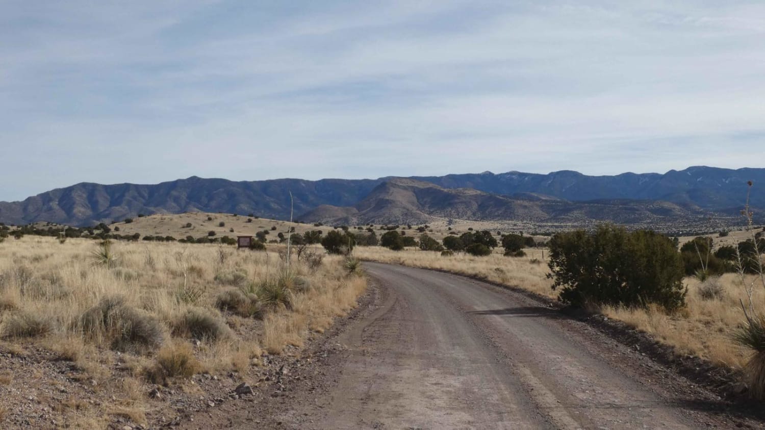
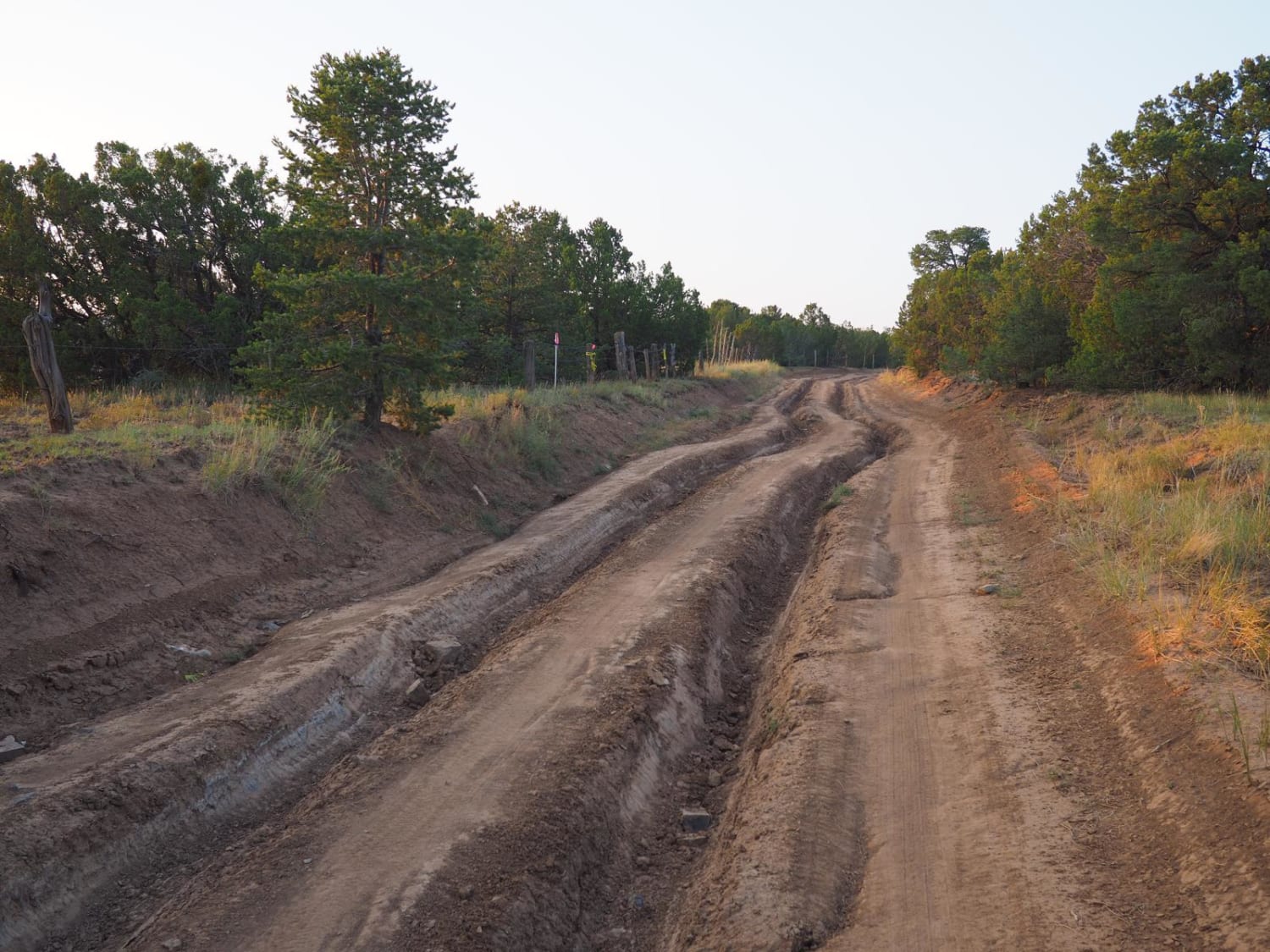
North Star - Sapillo to Chloride Canyon has a long history in New Mexico dating back to the 1800s. The road itself is overall well-maintained except for some washboarding along the route. While there are no major obstacles along the route, there are several steeper grades and sections in the lower canyons where the surface is primarily rock, as well as several shallow washes. There is some minor rutting in various areas throughout the trail, but the entire length of the trail from Sapillo north to Chloride Canyon can be completed in most 2WD vehicles with decent clearance. There is cell service starting from the south for the first twelve miles but it quickly drops to no service for the remainder of the trail. There are several sharp switchback turns along the way and signs advising that vehicles with trailers more than 20 feet in length should not attempt the road. In addition to the tight switchback turns, several sections of the trail are narrow shelf roads that are single-vehicle-width with little or no room to pass oncoming traffic. This road can be run from either direction, provided your vehicle can handle Chloride Canyon, or take SR163 and access from North Star North at the O-Bar-O intersection. There are several motorized trail spurs along the route, as well as multiple designated hiking trails.
Photos of North Star - Sapillo to Chloride Canyon
Difficulty
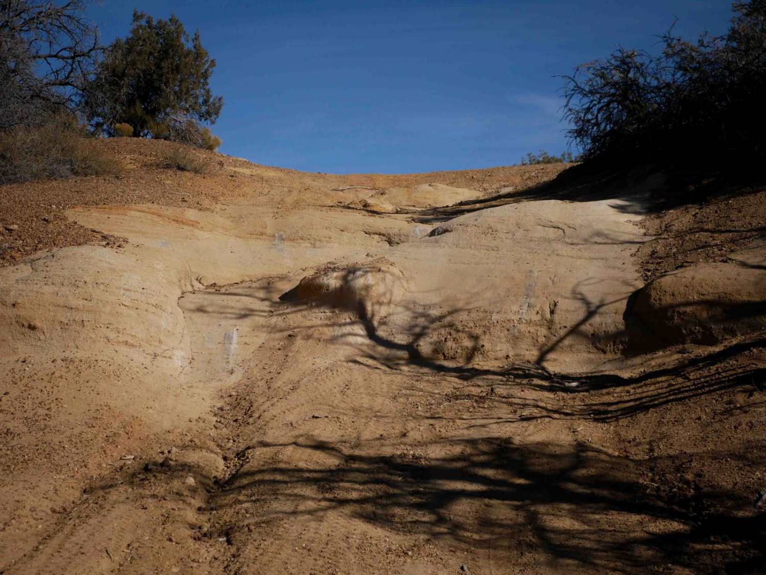
Drivers should expect to encounter washboard surfaces, loose rocks, and steeper grades. Additionally, there are multiple switchback turns and very narrow sections of road. The lower canyon areas are primarily a rocky surface with several low level washes that can be approximately 10 inches in depth.
History
Originally constructed in the 1800s as a military route during conflict with the local Apache Tribes, this road was used to connect multiple military forts in the area. The trail was later transferred to the Civilian Conservation Corps who then converted the wagon trail to the road it is today.
Status Reports
Popular Trails
Council Rock
Meadow Ridge Loop
The onX Offroad Difference
onX Offroad combines trail photos, descriptions, difficulty ratings, width restrictions, seasonality, and more in a user-friendly interface. Available on all devices, with offline access and full compatibility with CarPlay and Android Auto. Discover what you’re missing today!
