Pecos WIlderness Border Road
Total Miles
1.7
Elevation
2,506.51 ft
Duration
1 Hours
Technical Rating
Best Time
Spring, Summer, Fall
Trail Overview
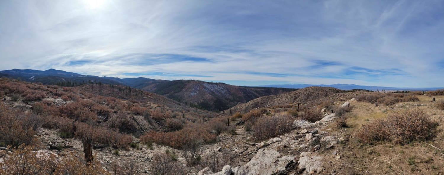
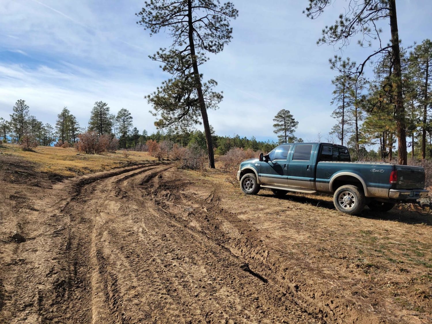
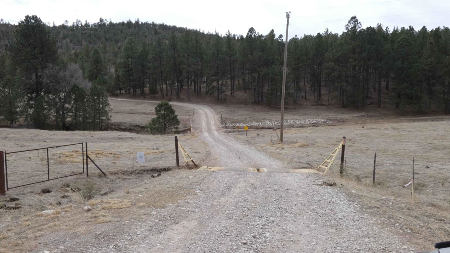
This route runs through the open highlands of Borrego Mesa, providing expansive views of the surrounding foothills. This section is not maintained and is prone to significant washouts and ruts. In dry conditions, the primary issue is clearance. However, in wet conditions, the road surface is slick, with clay-like dirt. Other attractions along the route include the Borrego Mesa trail, which crosses over into the Pecos Wilderness.
Photos of Pecos WIlderness Border Road
Difficulty
Most of the trail is easy. However, right at the start there are some 8" deep ruts that are not navigable in all vehicles. Further down the trail there are also some small ledges.
Status Reports
Popular Trails

Lower Arroyo de Los Pinos
Council Rock
Bluewater Canyon
The onX Offroad Difference
onX Offroad combines trail photos, descriptions, difficulty ratings, width restrictions, seasonality, and more in a user-friendly interface. Available on all devices, with offline access and full compatibility with CarPlay and Android Auto. Discover what you’re missing today!
