Brown Mountain Trail 8
Total Miles
0.6
Technical Rating
Best Time
Spring, Summer, Fall
Trail Type
Full-Width Road
Accessible By
Trail Overview
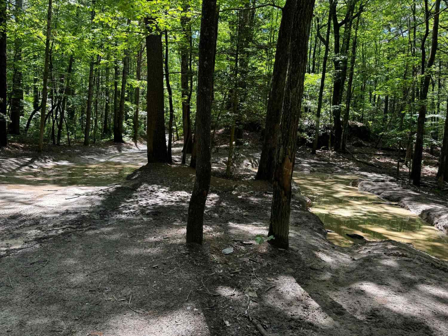
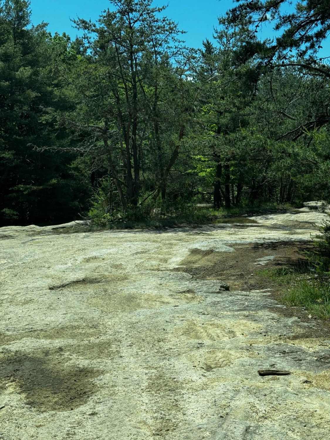
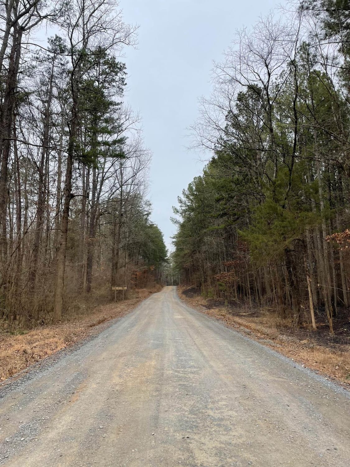
Trail 8 is the second trail accessible to full-size vehicles in the Brown Mountain OHV area. The trail runs from about three-quarters of the way through Trail 1 and connects to the end of it, creating a loop. Generally, people run all of Trail 1 and then go onto Trail 8 which will feed them back onto Trail 1. The gatekeeping obstacle of the trail is a very large bouldering V that can be a challenge for large vehicles--those who do not have large amounts of flex and vehicles with poor approach, departure, and breakover angles. That end of the trail features a large granite slab similar to those in the Western US. This area is a pick-your-own line that is relatively easy, featuring small ledges less than 6 inches and some holes that are around 3 inches deep. The majority of these obstacles can be avoided in this area, and the slab has lots of grip in dry conditions, only becoming slightly slippery in wet conditions. Fair warning: this section has lots of horse and deer flies that will sting and hurt. The rest of the trail is a narrow double track through a rhododendron forest that features large mud pits, ranging between a couple of inches deep and potentially 24 inches deep when wet. These have solid bottoms, making them relatively easy to pass through. A few other rock obstacles are on the trail, again ranging from small drops less than 3 inches to drops about 10 inches. Other obstacles include rock gardens and short climbs. A small tree has fallen and is hanging, potentially causing problems for taller vehicles.
Photos of Brown Mountain Trail 8
Difficulty
Although the majority of obstacles are unavoidable, the only ones that need to be taken with extra caution are the mud pits. These holes range in size from 3 inches to potentially 18+ during times of heavy rain. The other challenge is the general width of the trail. Wider vehicles need to expect pinstriping and needs to exercise extra caution in a few sections.
Status Reports
Popular Trails
Maple Sally
The onX Offroad Difference
onX Offroad combines trail photos, descriptions, difficulty ratings, width restrictions, seasonality, and more in a user-friendly interface. Available on all devices, with offline access and full compatibility with CarPlay and Android Auto. Discover what you’re missing today!
