Western Road Pocosin National Wildlife Refuge
Total Miles
4.4
Technical Rating
Best Time
Spring, Summer, Fall
Trail Type
Full-Width Road
Accessible By
Trail Overview
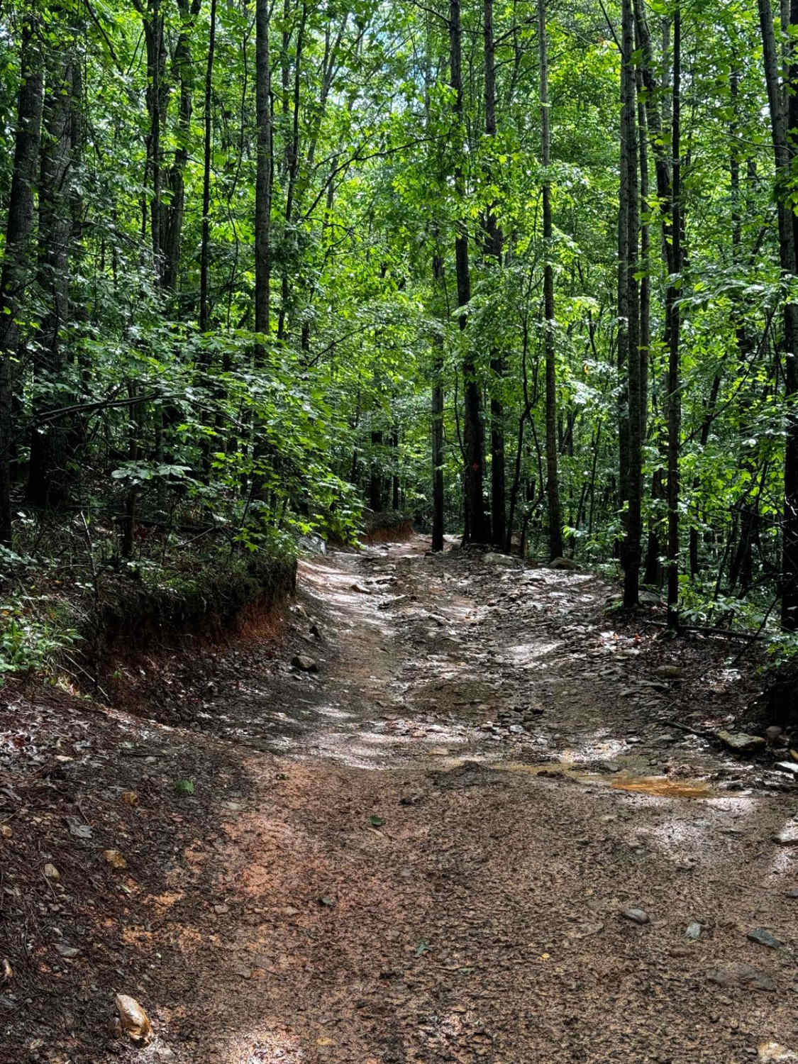
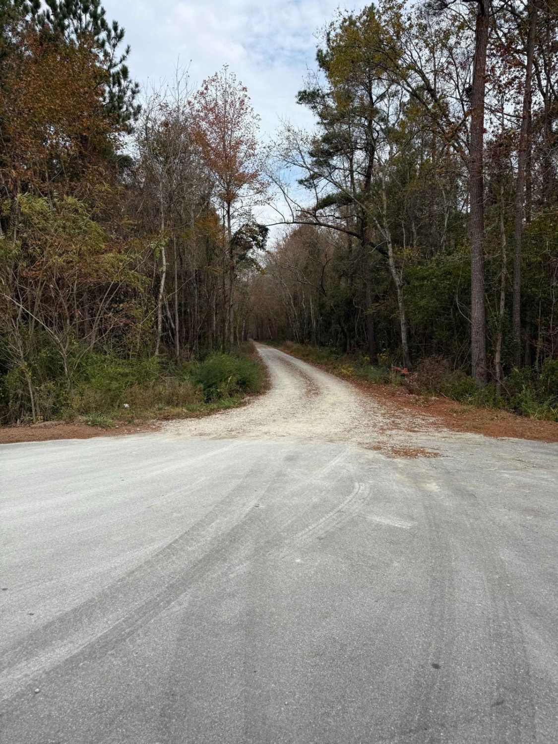
This road within the Pocosin National Wildlife Refuge area is rather similar to all the others however is very cool as it can connect to a lake within the refuge. With that being said, depending on the time of the year the connecting road was closed due to wildlife habitats. This connecting road is about halfway down the trail on the right side. Continuing past this turn results in driving on private property, the line is rather obvious as the road opens into a large farm. Past the turn, the road becomes less kept, and rather bumpy, and can be very wet depending on the amount of rain. This area has the potential to see animals ranging from butterflies, bears, deer, and many birds depending on the time of the year. It should be mentioned this is a wildlife refuge so be careful on trails, and only licensed vehicles are permitted within the refuge.
Photos of Western Road Pocosin National Wildlife Refuge
Difficulty
This trail is rather narrow at times, and a bit of mud can be present. Many SUVs can handle it however some caution should be taken.
Status Reports
Western Road Pocosin National Wildlife Refuge can be accessed by the following ride types:
- High-Clearance 4x4
- SUV
Western Road Pocosin National Wildlife Refuge Map
Popular Trails

Rail Line Way 7A (One-Way)

Sawmill Trail 93
The onX Offroad Difference
onX Offroad combines trail photos, descriptions, difficulty ratings, width restrictions, seasonality, and more in a user-friendly interface. Available on all devices, with offline access and full compatibility with CarPlay and Android Auto. Discover what you’re missing today!


