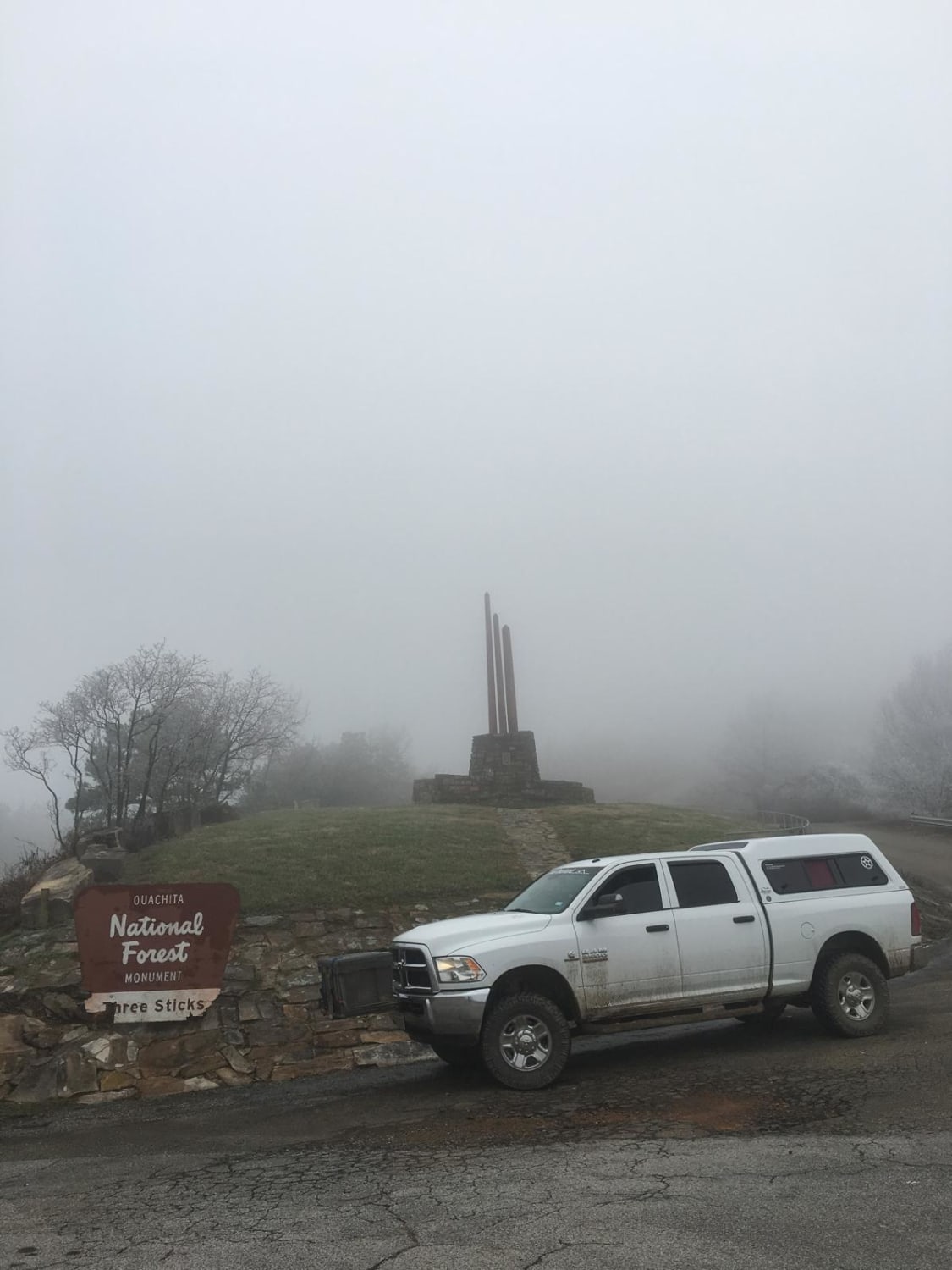
Honobia Creek Scenic Route
Total Miles
33.9
Technical Rating
Best Time
Spring, Fall
Trail Type
Full-Width Road
Accessible By
Trail Overview
This is a 36-mile unpaved trail offering hilltop views. This series of forestry roads wind through the Honobia Creek Wildlife Management Area in southeast Oklahoma. Start off of Indian Route 144 at north entrance, the route loops back and crosses 144, and ends at several campsites. Scenery is superb during the Fall. Avoid muzzle loading season. Along this trail are multiple other forestry roads to explore.
Photos of Honobia Creek Scenic Route
Difficulty
When dry, this route can be done with a 2WD vehicle. After or during rain, 4WD and off-road tires are required. Exploring on connecting routes often requires 4WD and high clearance, especially at creek and river crossings, and steep hill climbs.
Status Reports
Popular Trails

The Shaft
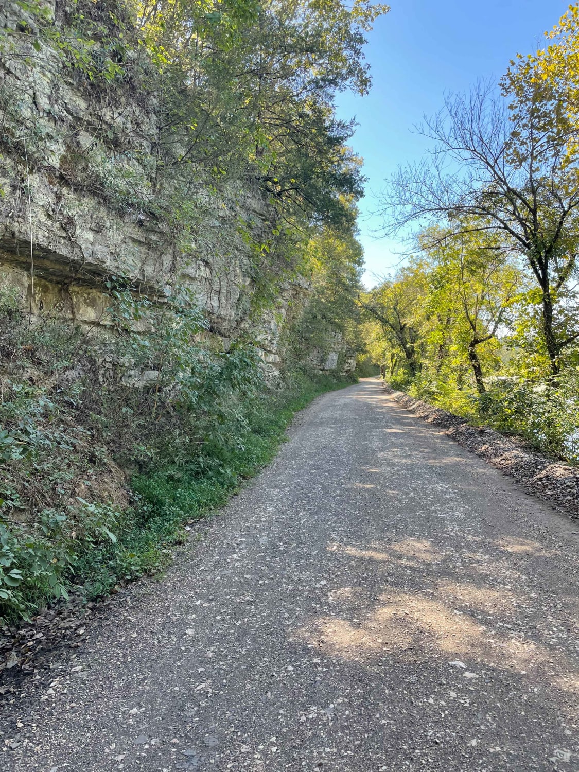
Tsalagi Trail East
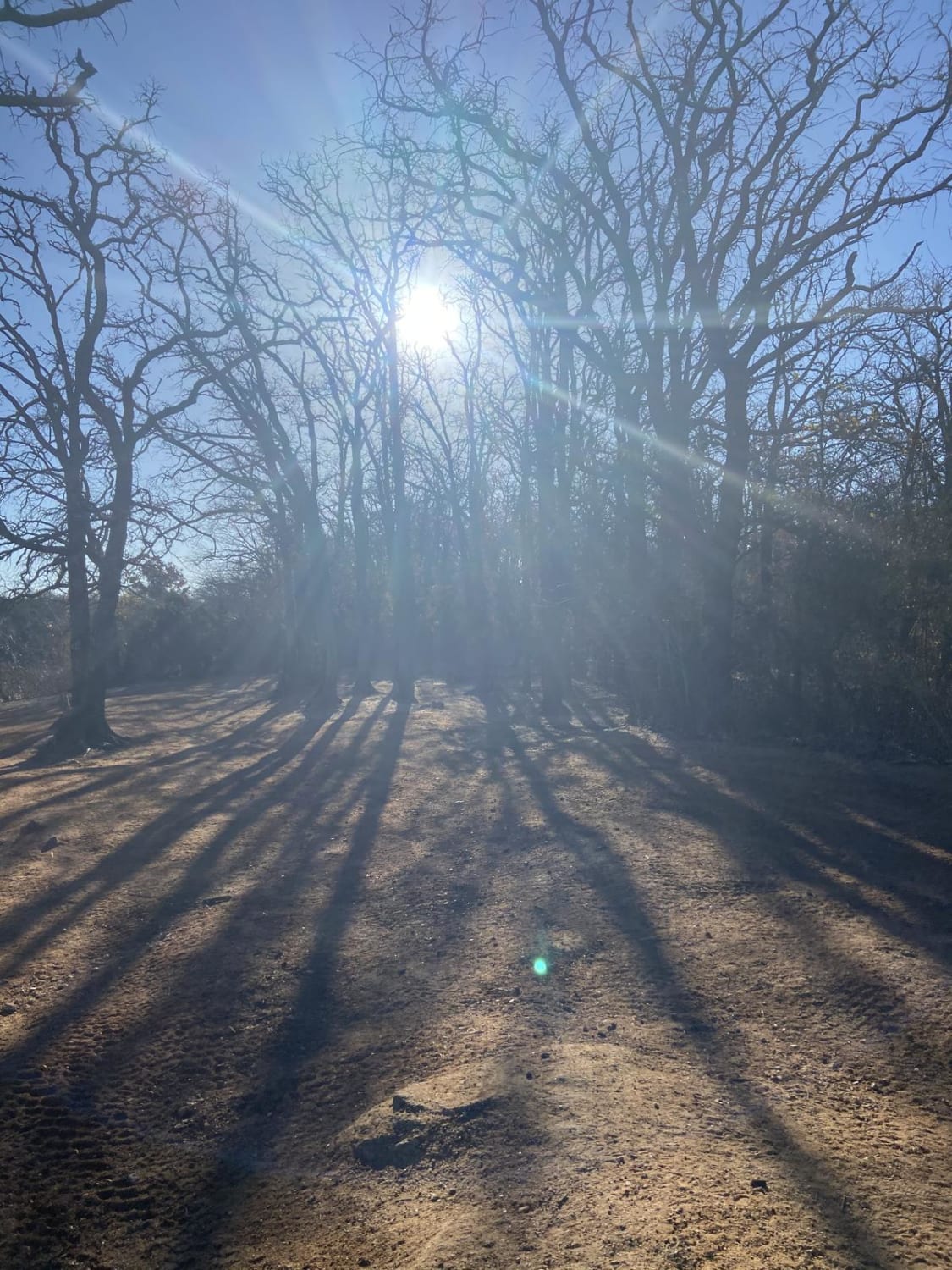
Sumac trail
The onX Offroad Difference
onX Offroad combines trail photos, descriptions, difficulty ratings, width restrictions, seasonality, and more in a user-friendly interface. Available on all devices, with offline access and full compatibility with CarPlay and Android Auto. Discover what you’re missing today!
