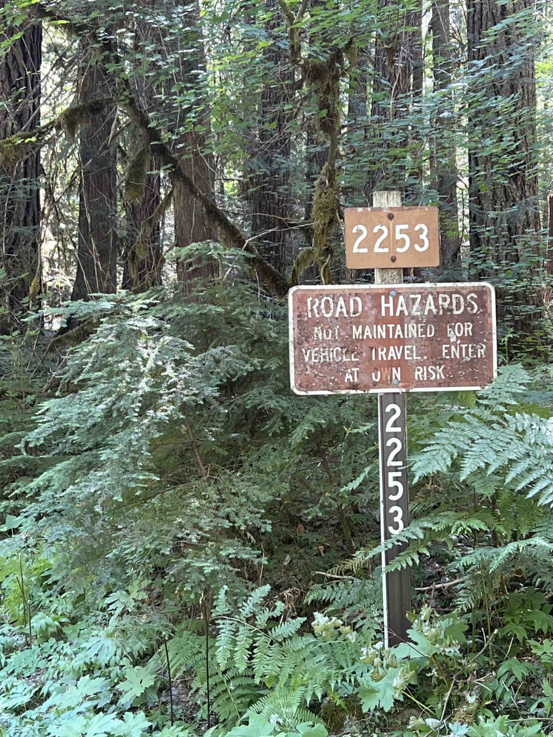
Bingham Ridge 2253
Total Miles
5.4
Technical Rating
Best Time
Spring, Summer, Fall, Winter
Trail Type
Full-Width Road
Accessible By
Trail Overview
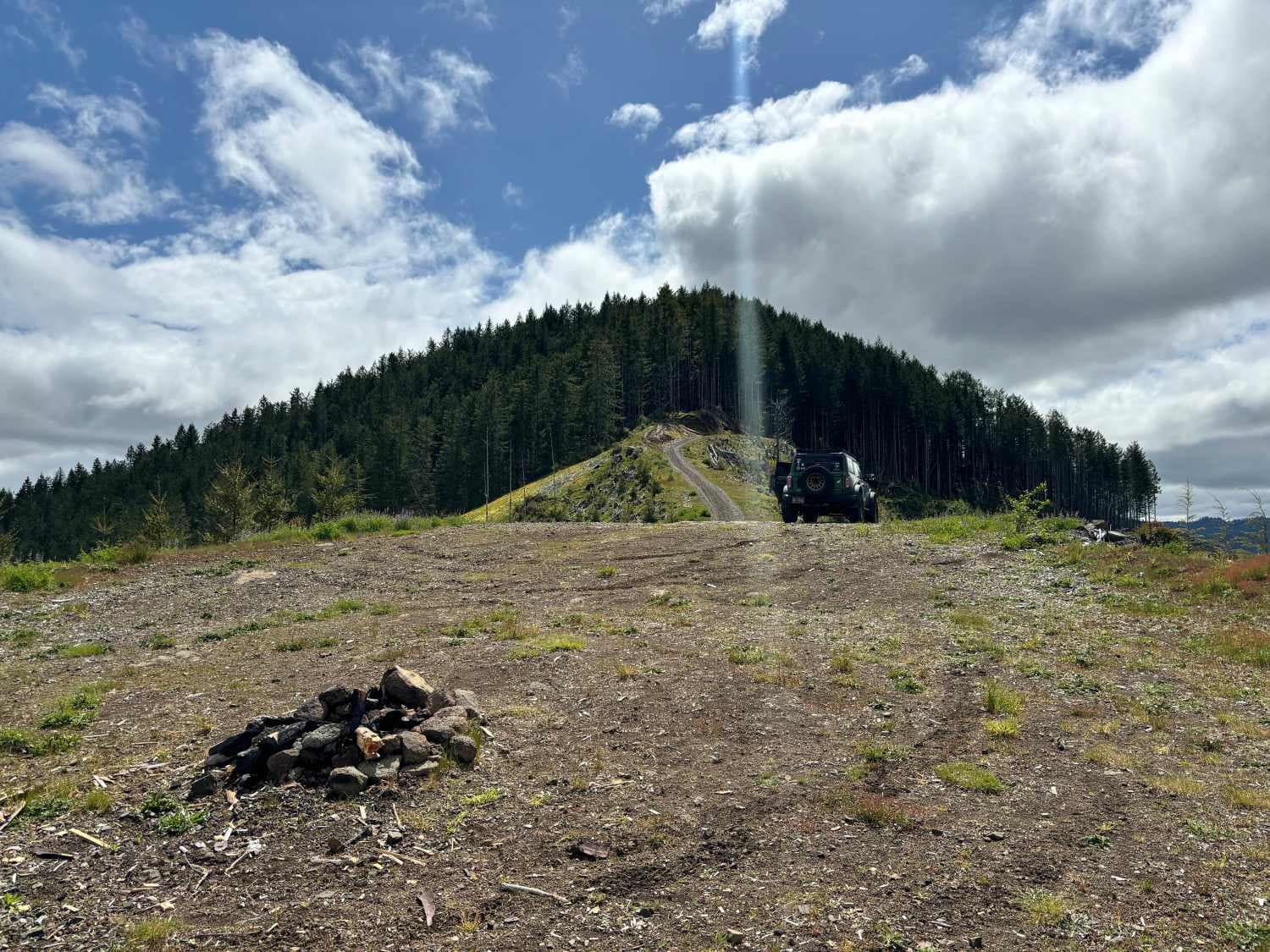
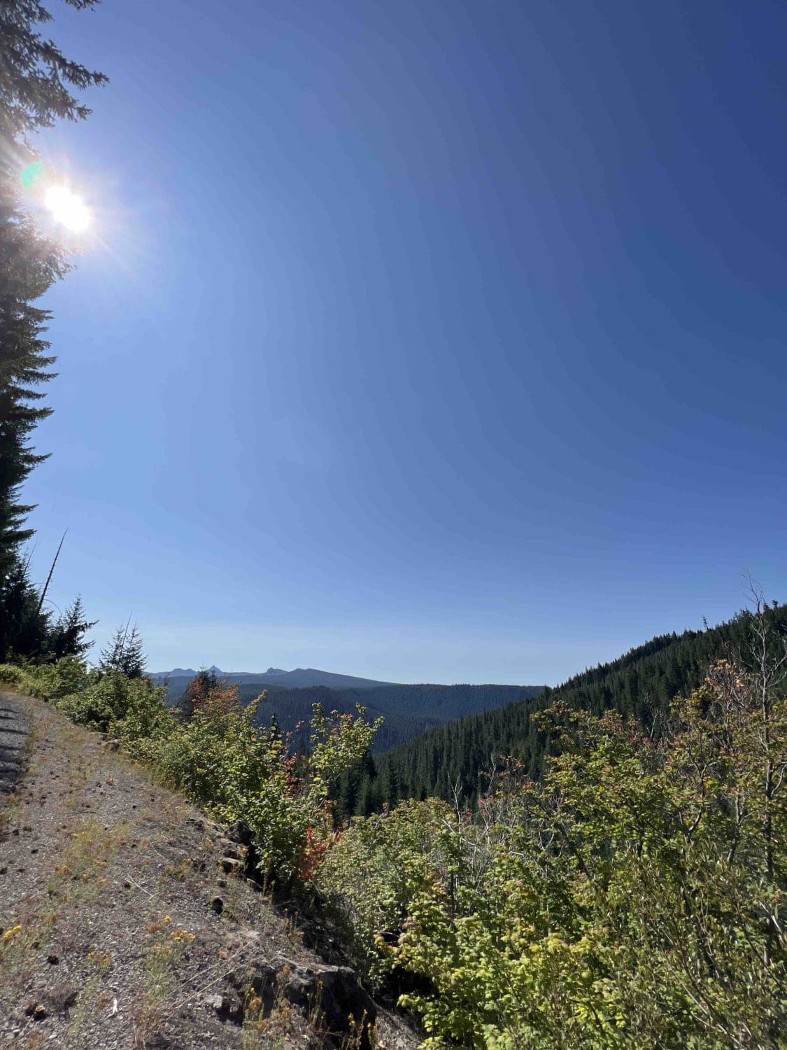
Bingham Ridge 2253 is a 5.5-mile gravel road near Mount Jefferson, Oregon. On July 1st, 1993, Willamette National Forest was established, making it the most extensive National Forest in Oregon at 1,666,998 acres. For nearly 75 years, the Santiam Wagon Road served as a route for people and commerce over these mountains. Today, some of these trails are still accessible from Highway 20 and 126. This region is abundant in history, and traveling on these primitive roads will transport you back in time. This specific route ascends 2,000 feet in elevation to the Bingham Ridge Trailhead, which is a 4.2-mile hike to the Lake of the Woods Trailhead. The trailhead has a large campsite, but it lacks restrooms or running water. For those requiring facilities, the Mount Jefferson Wilderness has snow parks and campsites with day-use areas that have restrooms. The WNF demands that the public pack it in and pack it out, along with adhering to tread lightly principles. The vast forest, which spans 110 miles, is home to over 300 wildlife species and over 300 plant species. Black bears, elk, mule deer, chipmunk, blue-grouse, northern spotted owls, rainbow trout, and bald eagles are just some of the wildlife found in this region. Wildflowers can be seen in various colors such as purple, white, yellow, orange, and pink, spanning the length of the road. Remember, a Northwest Forest Pass is required at trailheads and day-use areas, obtainable at local ranger stations or online.
Photos of Bingham Ridge 2253
Difficulty
This route is a slow incline up 2,000 feet in elevation to a trailhead. It's well-maintained with very few potholes. Roads are closed for the winter by gates but open from March 1st through November 1st.
Status Reports
Bingham Ridge 2253 can be accessed by the following ride types:
- High-Clearance 4x4
- SUV
- SxS (60")
- ATV (50")
- Dirt Bike
Bingham Ridge 2253 Map
Popular Trails

Lucky Butte Lakes

Wolf Point to Jones Creek

Tamarack Quarry 2656955
The onX Offroad Difference
onX Offroad combines trail photos, descriptions, difficulty ratings, width restrictions, seasonality, and more in a user-friendly interface. Available on all devices, with offline access and full compatibility with CarPlay and Android Auto. Discover what you’re missing today!


