Chesley's Challenge
Total Miles
40.1
Technical Rating
Best Time
Spring, Fall
Trail Type
Single Track
Accessible By
Trail Overview
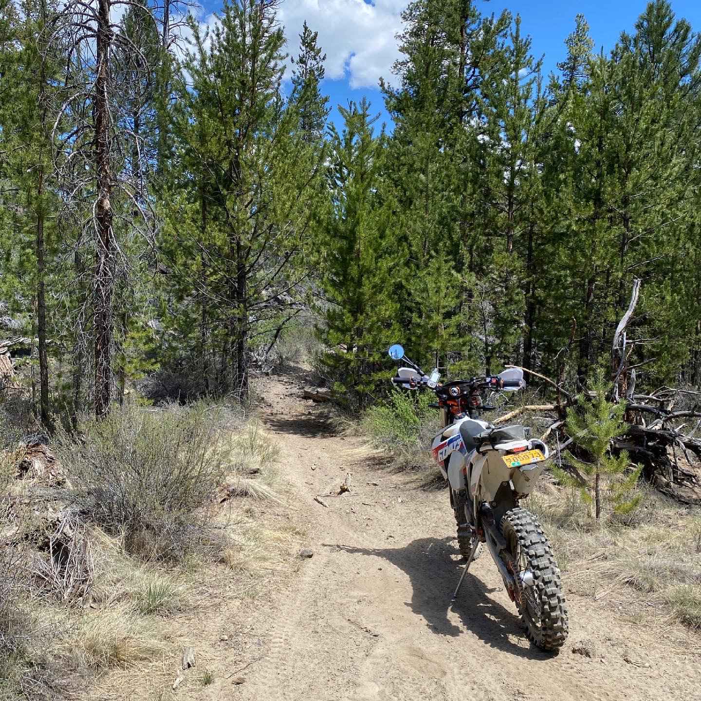
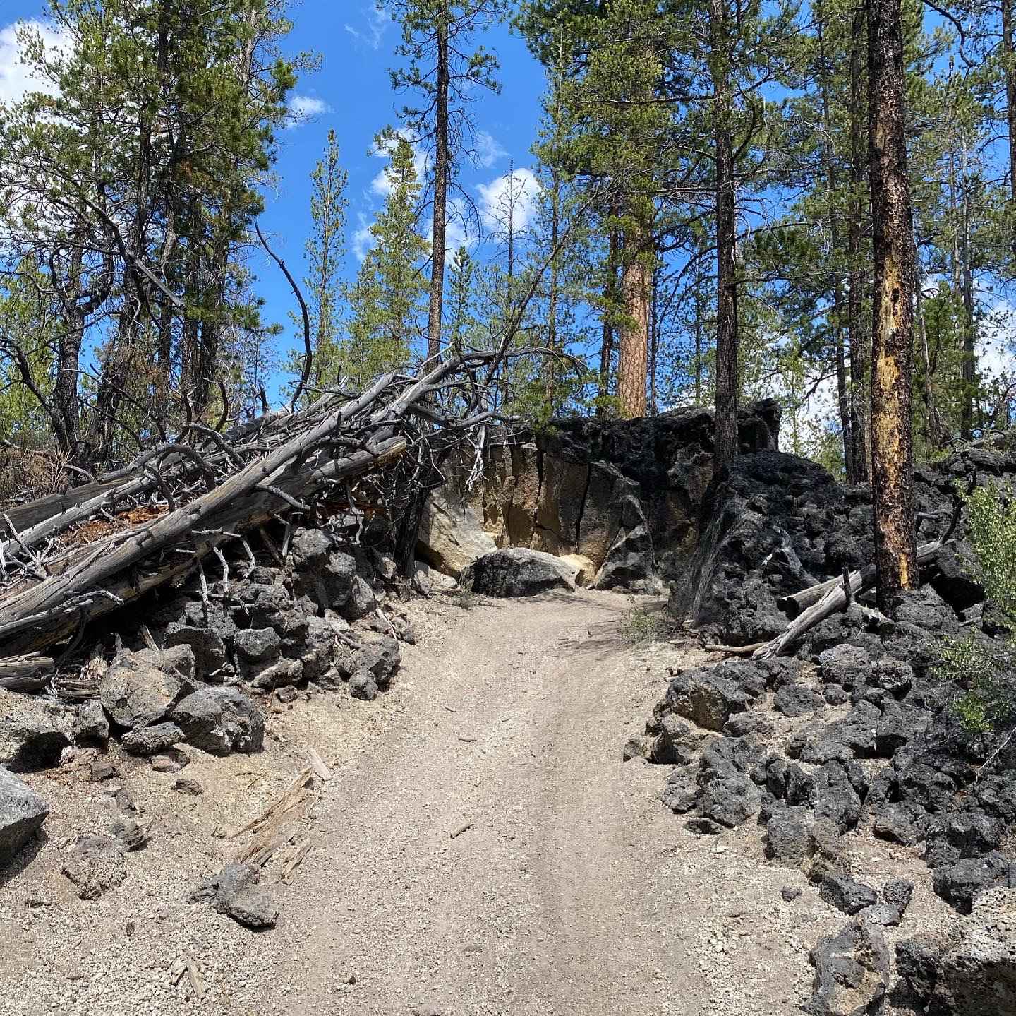
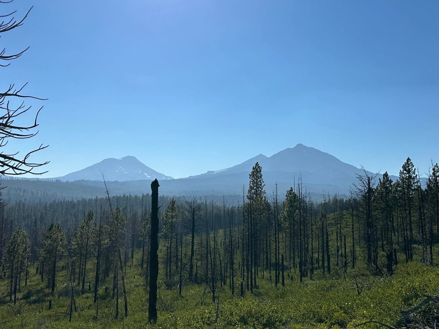
Expect just about everything except water and mud. There are deep whoops, Silty sand, pumice all over the trail creating a unique riding experience. You will find long straights, curvy section in tight corners in the trees, steep drops and rocky areas and plenty of great views and challenges.
Photos of Chesley's Challenge
Difficulty
This is an OHV trail suited for Dirt bikes and quads. There are a few segments on the trail 85, 78 and 72 that are single track and quads won't make it between the trees.
History
Chesley's Challenge (This is the description directly from our local maps and founder info.)This challenging 53 mile route commemorates the vision and tenacity of George Chesley who was the Fort rock district ranger responsible for the creation of East Fort Rock in 1993. Like this route, there were many obstacles to overcome and it was not a quick nor easy task to implement the first designated and managed OHV trail system in Central Oregon.Because of his efforts you have trails to ride today. Now it is your responsibility to ensure that you have trails to ride tomorrow.
Status Reports
Chesley's Challenge can be accessed by the following ride types:
- Dirt Bike
Chesley's Challenge Map
Popular Trails
Hells Canyon Overlook - Dirt Road Approach
The Back Way to Mann Lake
Trout Creek Butte Summit
Pittsburg Road
The onX Offroad Difference
onX Offroad combines trail photos, descriptions, difficulty ratings, width restrictions, seasonality, and more in a user-friendly interface. Available on all devices, with offline access and full compatibility with CarPlay and Android Auto. Discover what you’re missing today!
