Dovre Peak Bypass
Total Miles
9.8
Technical Rating
Best Time
Spring, Summer, Fall
Trail Type
Full-Width Road
Accessible By
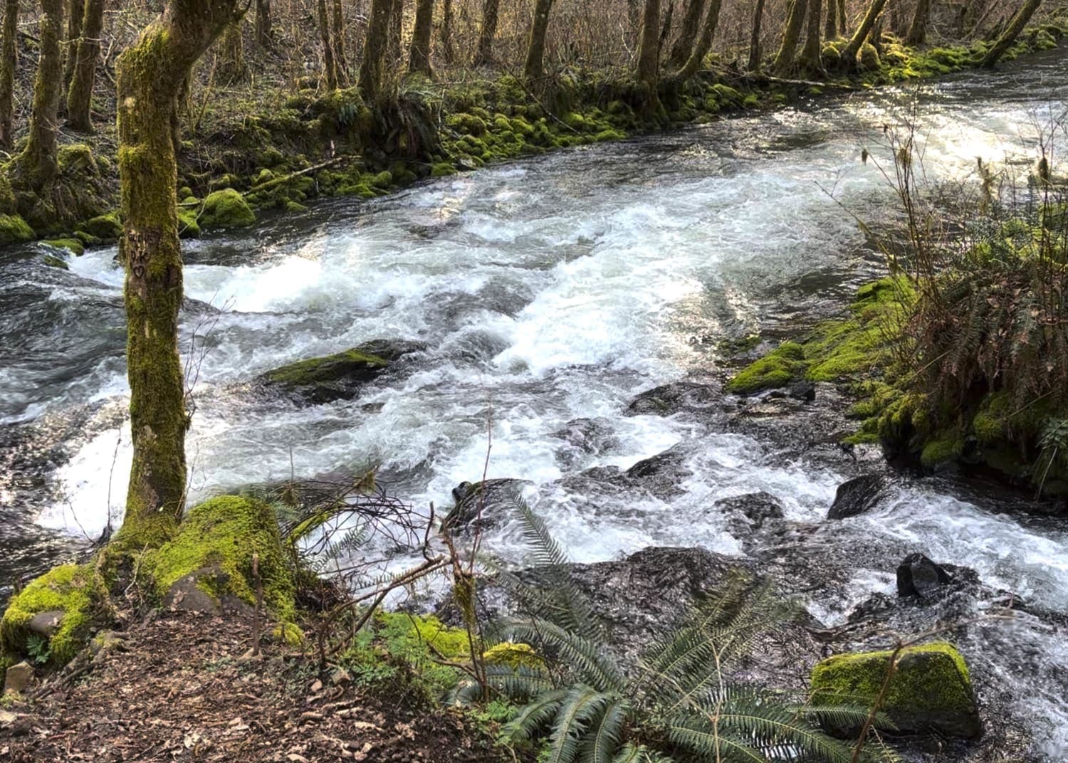
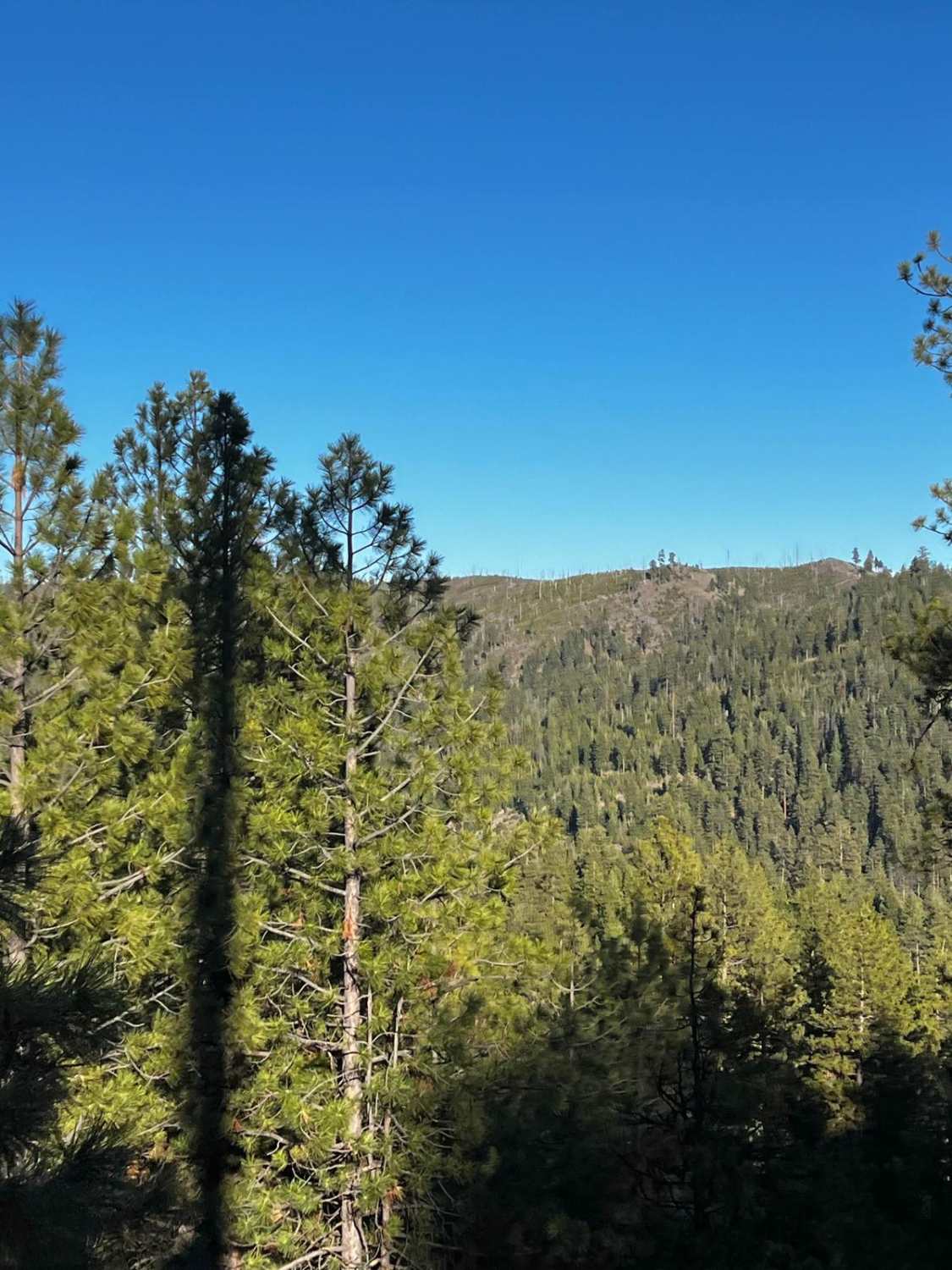
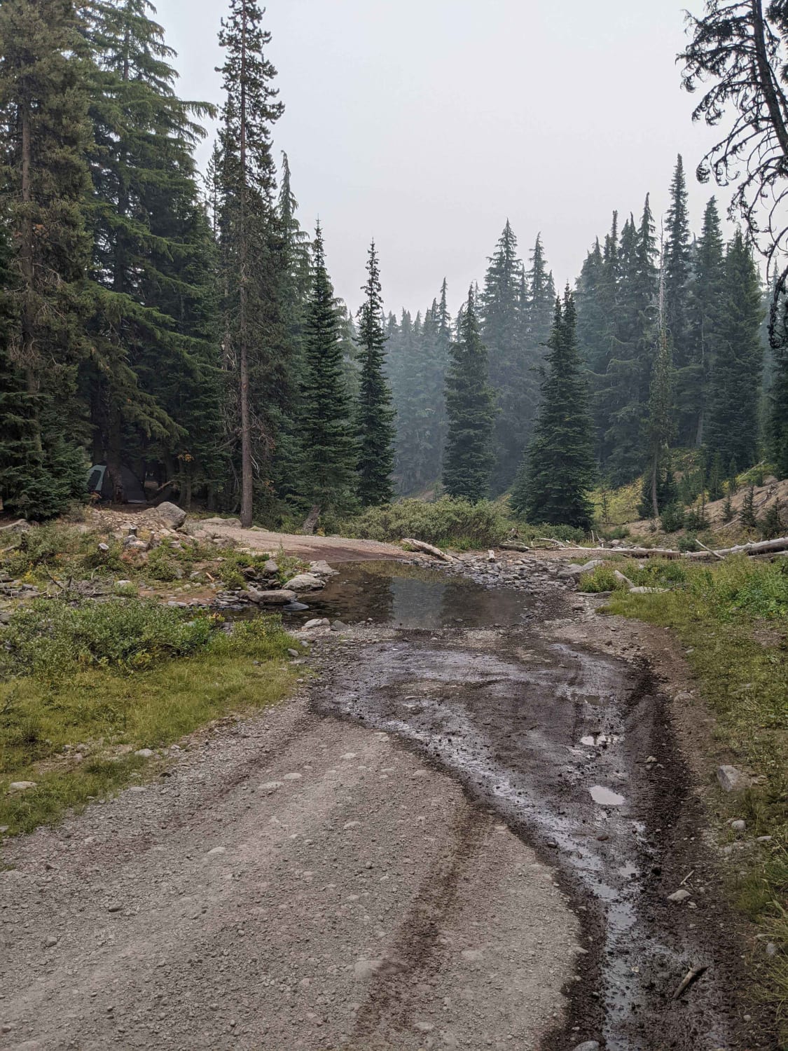
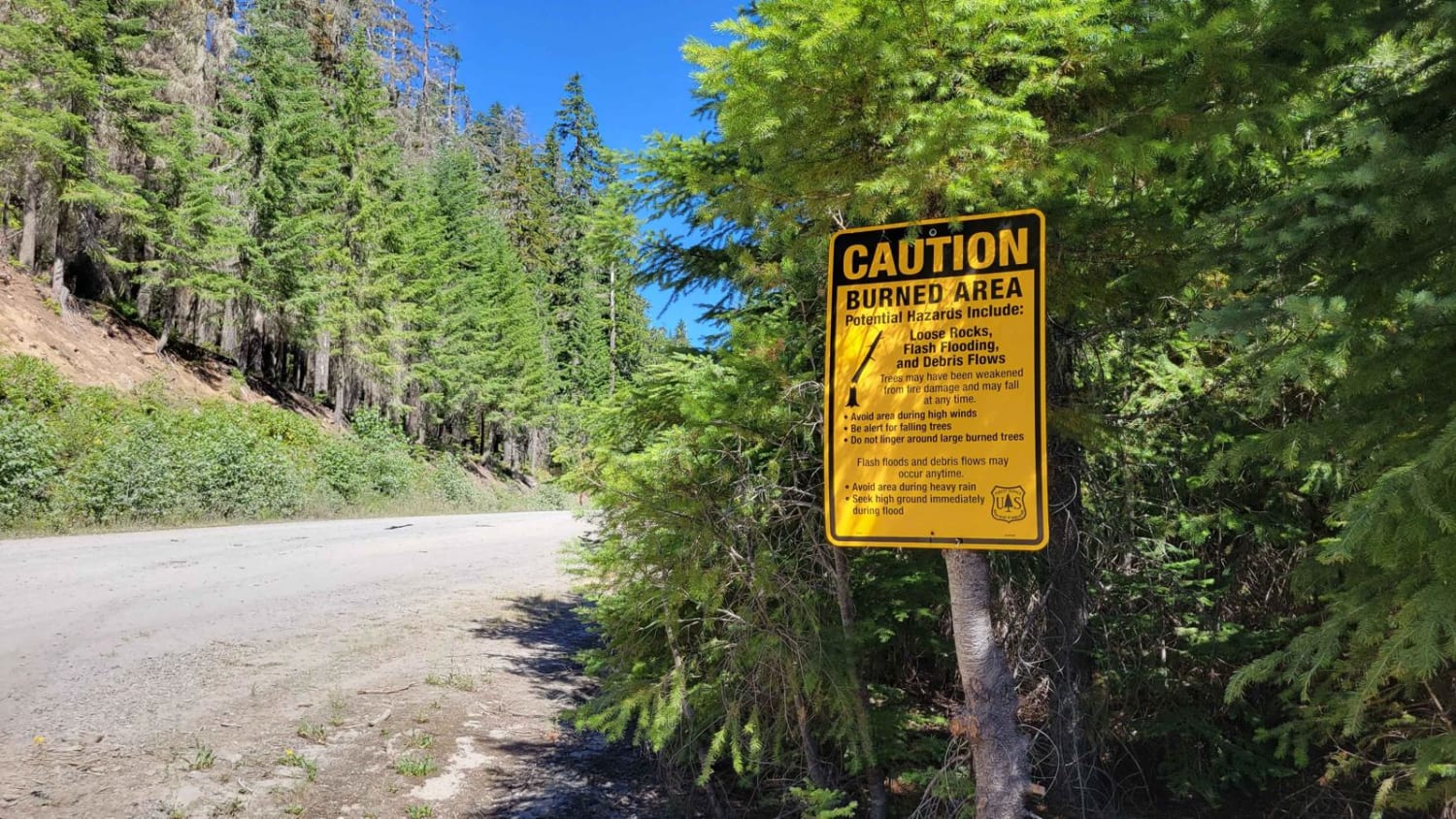
Trail Overview
As of early April 2024, there is a landslide just to the east of the Elk Bend Campground blocking the Nestucca River Road. This bypass is from the Fan Creek Campground up to Dovre Peak (elevation 2,841 feet) to Elk Bend Campground. This route also allows access to areas of the Tillamook State Forest to the north. It's a steep gravel road with many twists and steep drop-offs. In the winter, it can become impassable at times.
Photos of Dovre Peak Bypass

Difficulty
This is a gravel road that quickly climbs with steep drop-offs to the sides. It can become impassable or extremely challenging in the winter.
Status Reports
Dovre Peak Bypass can be accessed by the following ride types:
- High-Clearance 4x4
- SUV
Dovre Peak Bypass Map
Popular Trails
Lower McKay Creek Road to West Fork Mill Creek Road
FR 6350 - Grahams Pass

Green Butte Summit
The onX Offroad Difference
onX Offroad combines trail photos, descriptions, difficulty ratings, width restrictions, seasonality, and more in a user-friendly interface. Available on all devices, with offline access and full compatibility with CarPlay and Android Auto. Discover what you’re missing today!