Marble Creek Pass to Sumpter
Total Miles
7.8
Technical Rating
Best Time
Spring, Summer, Fall
Trail Type
Full-Width Road
Accessible By
Trail Overview
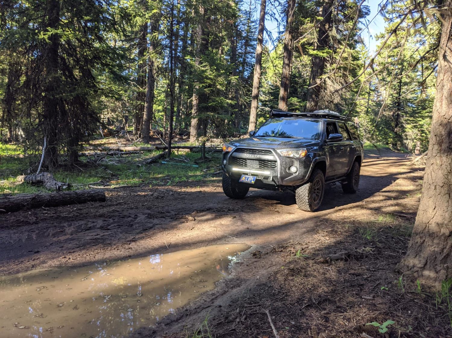
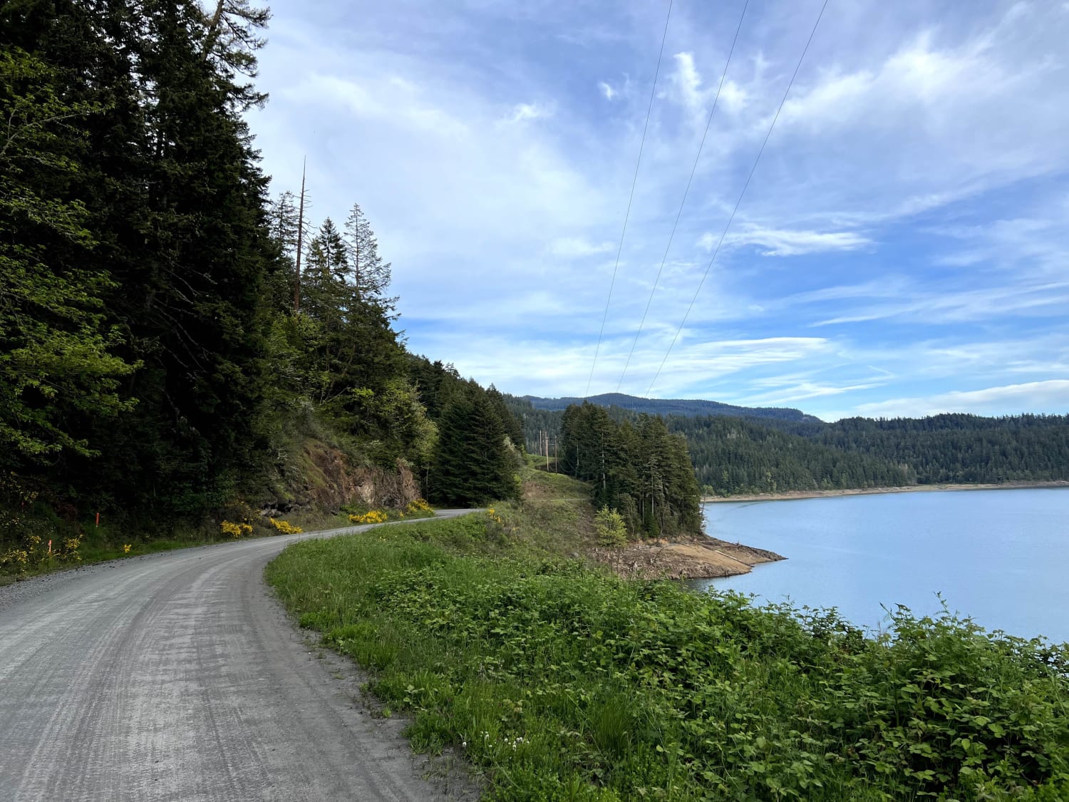
This short and easy route connects the small town of Sumpter to Marble Creek Pass. The forest service roads that comprise this track are well maintained and easy to navigate. Along the way you'll meander through evergreens frequently following the path of a small creek.There are a few peek-a-boo views of Sumpter Valley at higher elevations, but more often than not your view is obstructed by the forest.
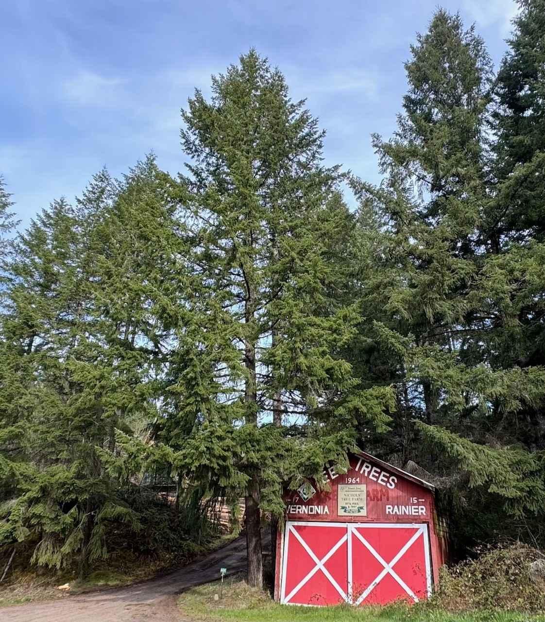
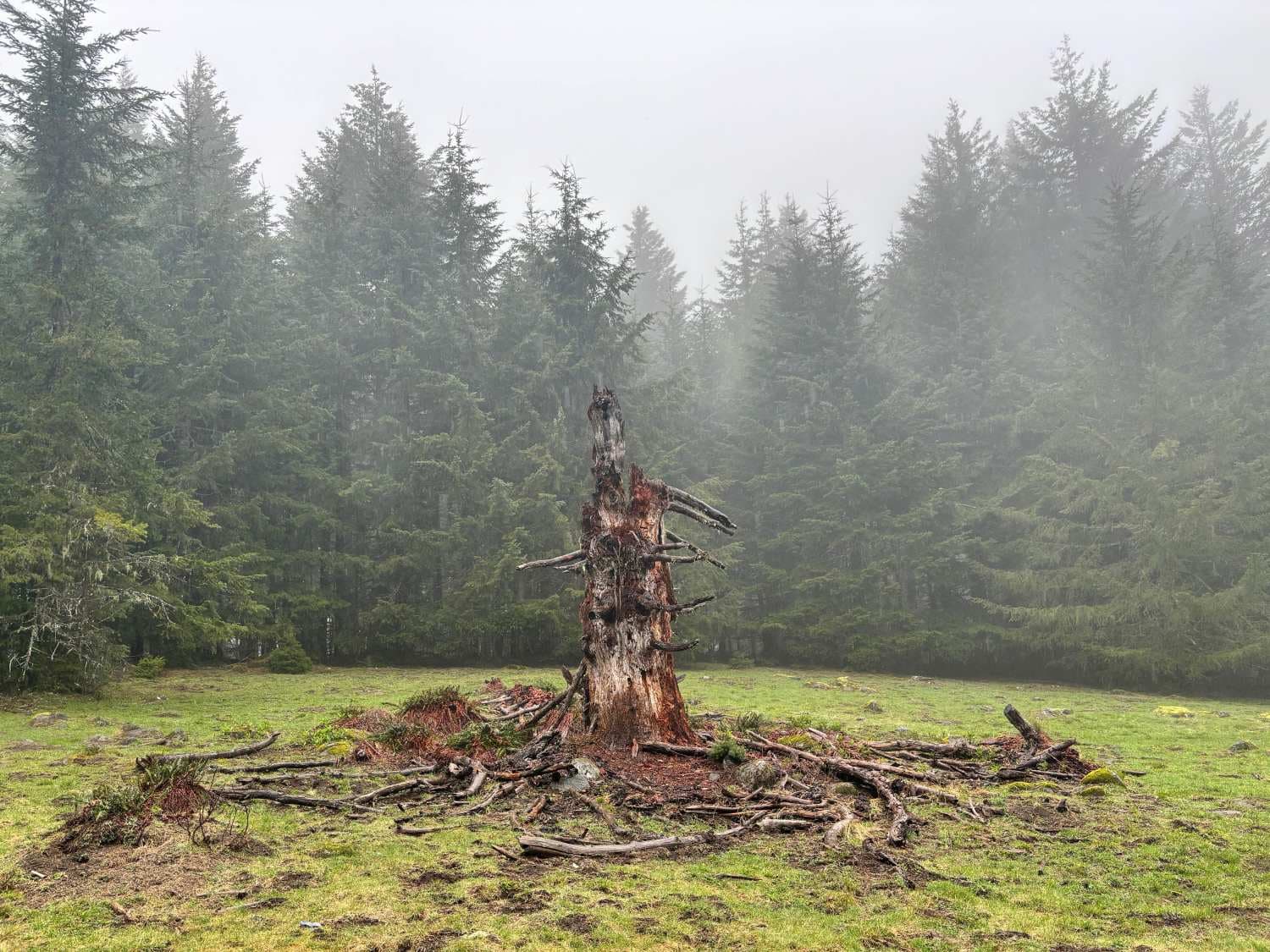
Photos of Marble Creek Pass to Sumpter
Difficulty
Other than being narrow the route is incredibly easy.
Status Reports
Popular Trails

Shaffer Road

RD 2630 / Summit Trail

Lookout Point Trail
The onX Offroad Difference
onX Offroad combines trail photos, descriptions, difficulty ratings, width restrictions, seasonality, and more in a user-friendly interface. Available on all devices, with offline access and full compatibility with CarPlay and Android Auto. Discover what you’re missing today!


