Pringle Butte Trail
Total Miles
4.3
Technical Rating
Best Time
Spring, Summer, Fall
Trail Type
Full-Width Road
Accessible By
Trail Overview
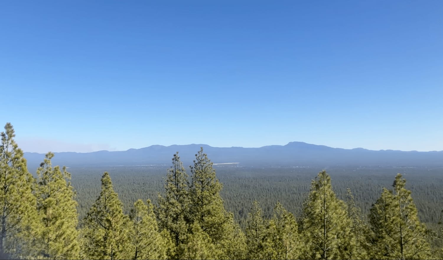
Pringle Butte is a pretty level drive with a few bumps here and there until you reach the summit. The summit seems intimidating at first. You might want to use 4-low. You can bring rear-axle lockers, but you probably won't need them. There will be dips and loose rocks, but don't slow down until you reach the very top. You will know when to stop because you will be looking at an epic view of the endless countryside.
Photos of Pringle Butte Trail
Difficulty
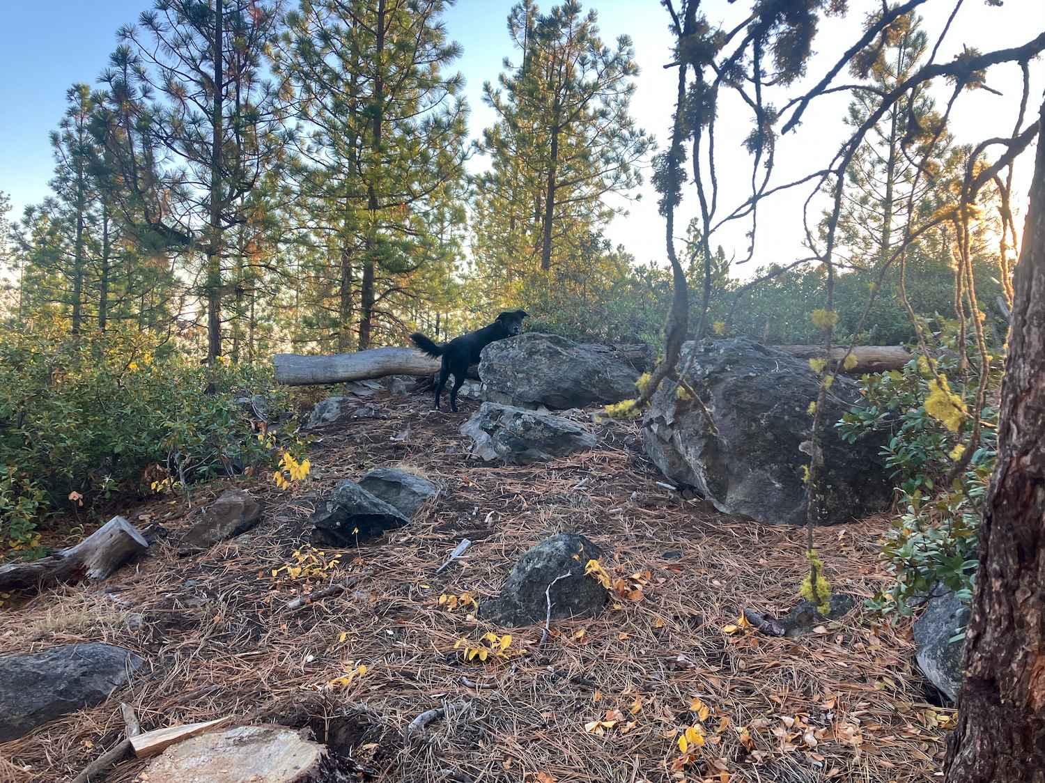
The difficulty rating only applies to the last incline. It is there that you will encounter loose rocks some off-camber areas and some deep dips.
History
This butte and the nearby falls (which are on private property) were named for O.M. Pringle, who bought 160 acres of government land here in 1902 under the provisions of the Timber and Stone Act. The falls were also known as the Fish Trap, a reference to its use by the Native Americans, who caught fish by gills as they swam upriver through shallow channels. A post office named Pringle Falls operated from 1916 to 1918.
Status Reports

Popular Trails
Lower Deschutes River Access Road
Spirit Lake - FR 2422

Bacona-Pisgah Home Road
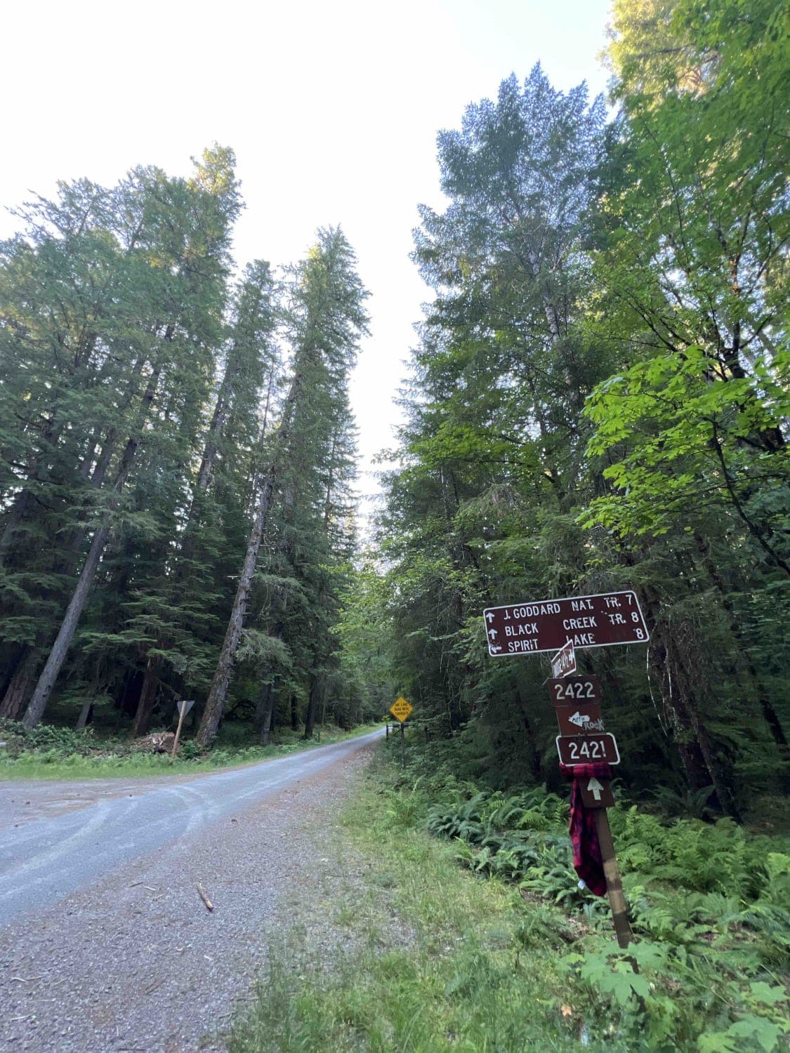
Black Creek - FR 2421
The onX Offroad Difference
onX Offroad combines trail photos, descriptions, difficulty ratings, width restrictions, seasonality, and more in a user-friendly interface. Available on all devices, with offline access and full compatibility with CarPlay and Android Auto. Discover what you’re missing today!