Recovery Ridge
Total Miles
3.5
Technical Rating
Best Time
Spring, Summer, Fall
Trail Type
Full-Width Road
Accessible By
Trail Overview
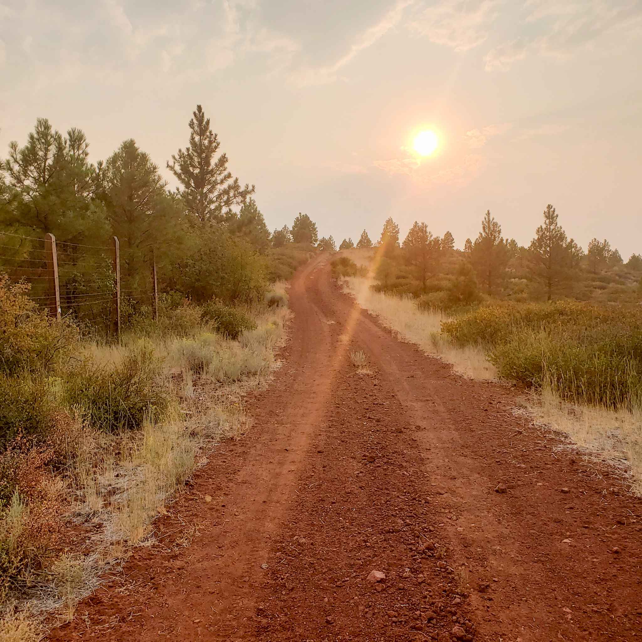
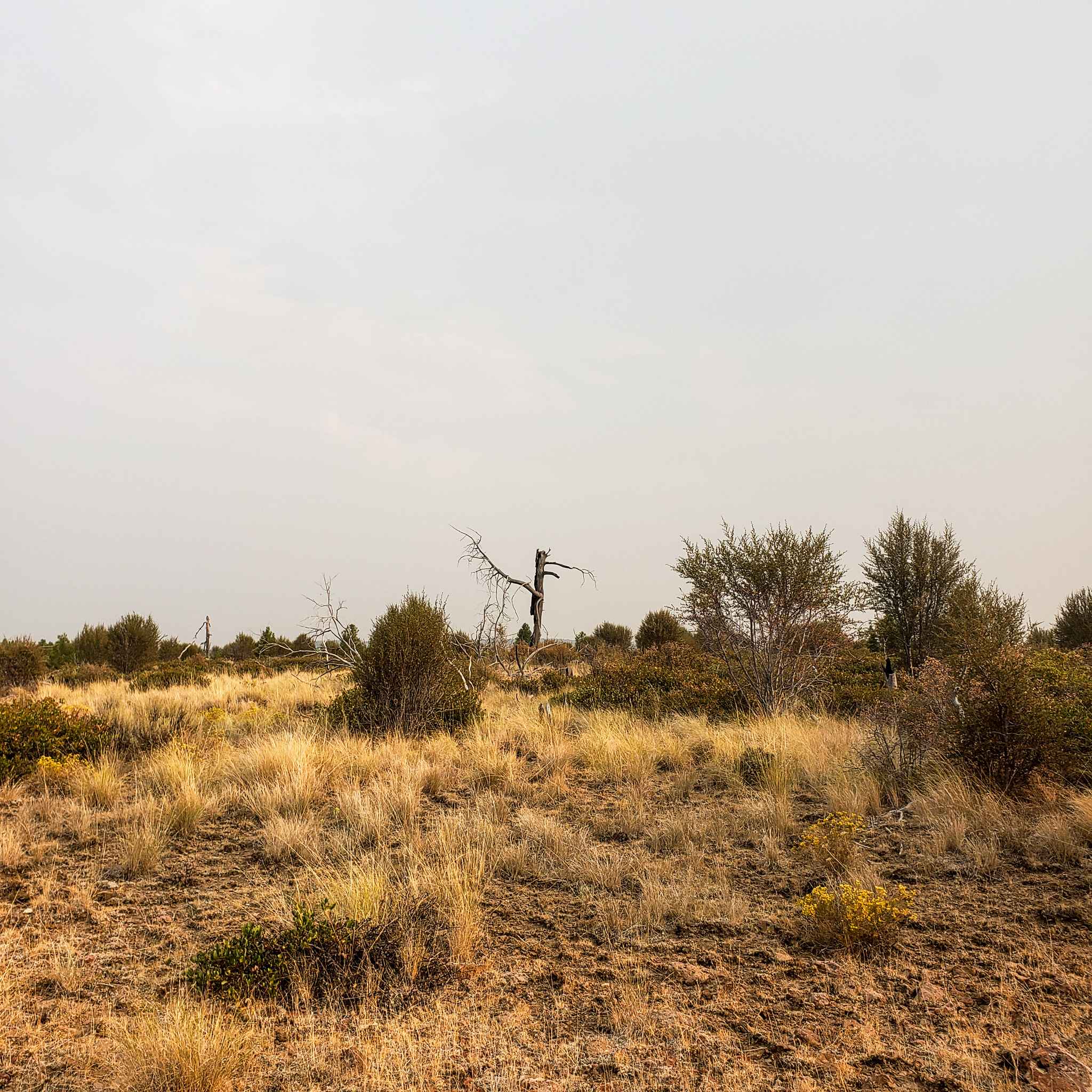
This road travels mostly over bright red cinder cobbles through a large burned area from fires in 1990 and 2007. The area offers an interesting look at how Ponderosa pine forests recover after a large scale fire. This route is easy but a little bumpy and not too rugged, any 4x4 or AWD vehicle should be capable. The road gets narrow through multiple sections of thick brush. Keep an eye out for sheep or cattle grazing and keep speeds down near livestock.
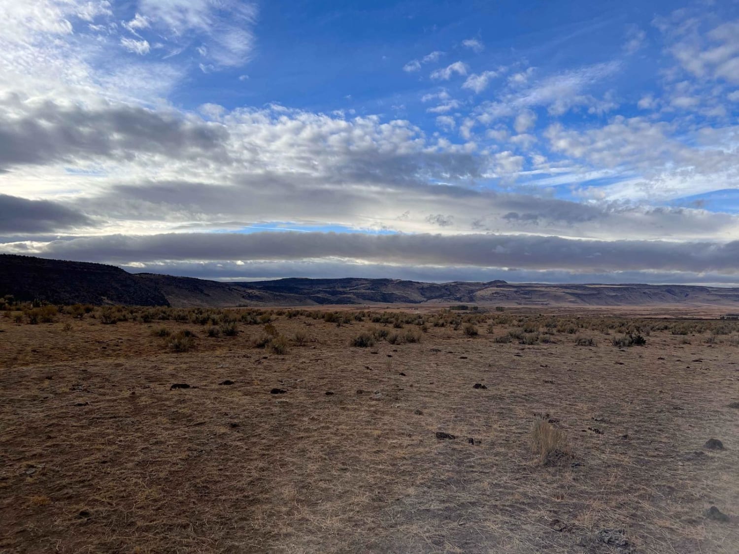
Photos of Recovery Ridge
Difficulty
Road is passable by any 4x4 or AWD vehicle with care. There are ruts and rocks to navigate but nothing too difficult, keep speeds down.
Status Reports
Recovery Ridge can be accessed by the following ride types:
- High-Clearance 4x4
- SUV
- SxS (60")
- ATV (50")
- Dirt Bike
Recovery Ridge Map
Popular Trails
Sisters Connector

Dovre Peak Bypass
East Fish Creek Road
The onX Offroad Difference
onX Offroad combines trail photos, descriptions, difficulty ratings, width restrictions, seasonality, and more in a user-friendly interface. Available on all devices, with offline access and full compatibility with CarPlay and Android Auto. Discover what you’re missing today!
