Santee Coastal WMA
Total Miles
4.1
Technical Rating
Best Time
Spring, Summer, Fall, Winter
Trail Type
Full-Width Road
Accessible By
Trail Overview
Santee Coastal Reserve Wildlife Management Area was established by the South Carolina Department of Natural Resources due to the purchase and donation of the property by The Nature Conservancy in 1974. This unique property represents a variety of habitats found in South Carolina, including diverse uplands, freshwater, brackish and tidal wetlands, and agricultural fields. This 24,000-acre property is composed of Murphy Island, Cedar Island, The Cape, Washo Reserve, and adjacent upland habitats. Various migratory birds pass through this area during the spring and summer months. Offroad trails wind through the upland forests and down to the river. Primitive camping is available on a first-come basis. Water, power, & facilities are not present within the reserve. The Cape Hiking trails are closed from November - February for hunting.
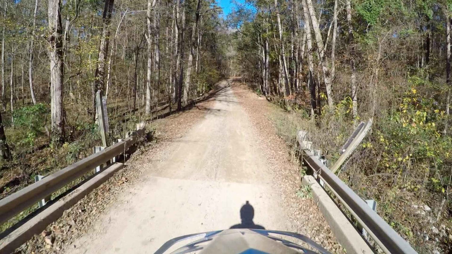
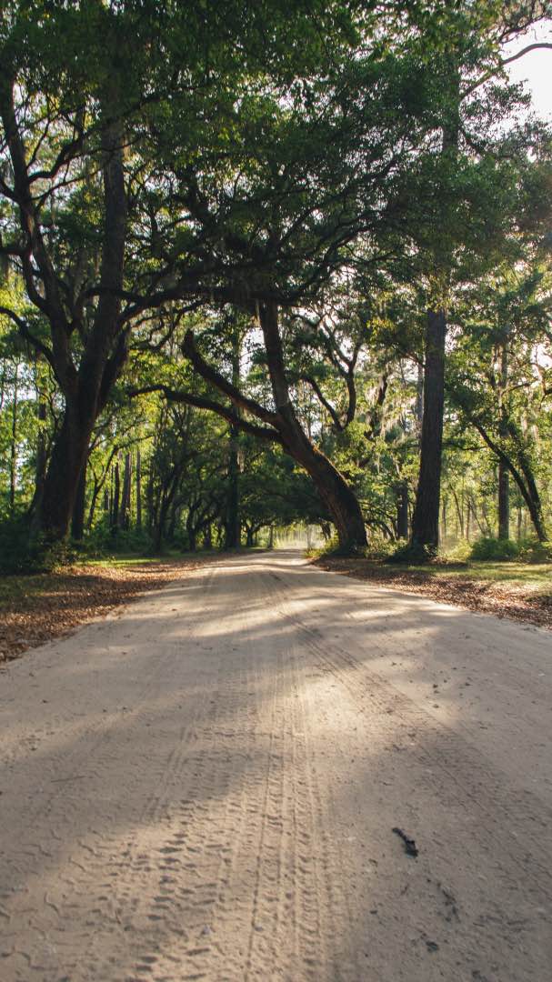
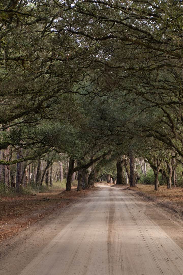
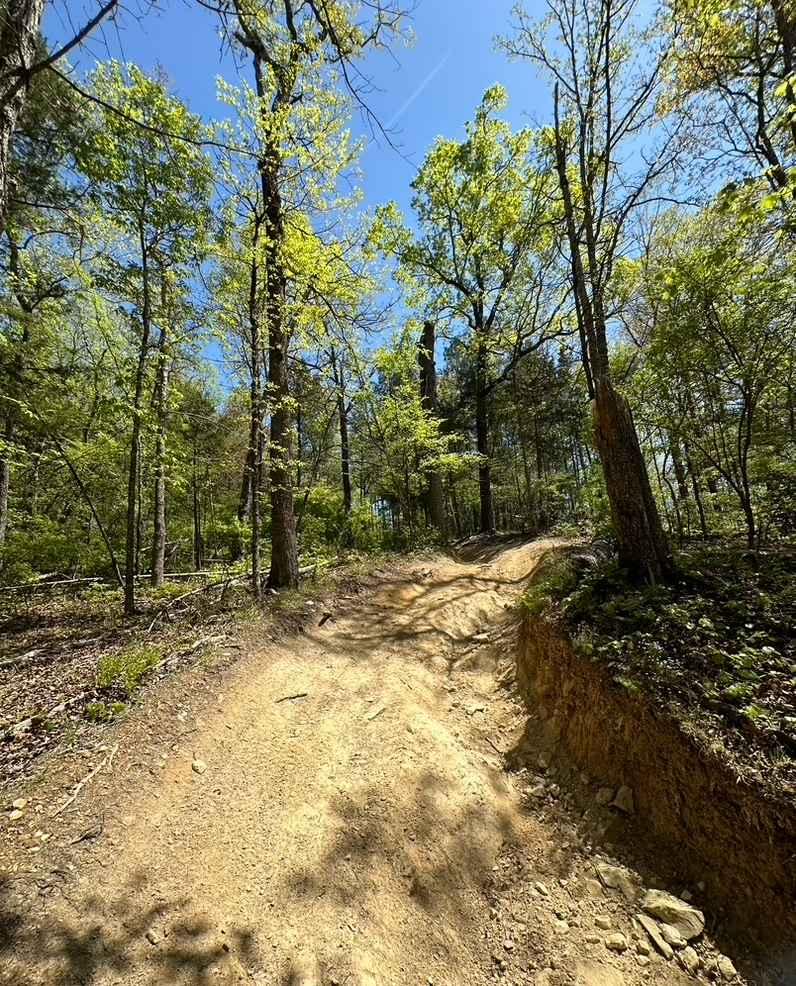
Photos of Santee Coastal WMA
Difficulty
Dirt maintained road. Washboarding can be bad during peak season (Summer/Spring). Roads can get washed out after heavy rains.
Popular Trails

South Carolina Adventure Route Segment 2

Bonneau Ferry WMA - Perimeter Loop A

Secret Passage
The onX Offroad Difference
onX Offroad combines trail photos, descriptions, difficulty ratings, width restrictions, seasonality, and more in a user-friendly interface. Available on all devices, with offline access and full compatibility with CarPlay and Android Auto. Discover what you’re missing today!


