Trail 11
Total Miles
0.9
Technical Rating
Best Time
Summer, Winter, Fall, Spring
Trail Type
60" Trail
Accessible By
Trail Overview
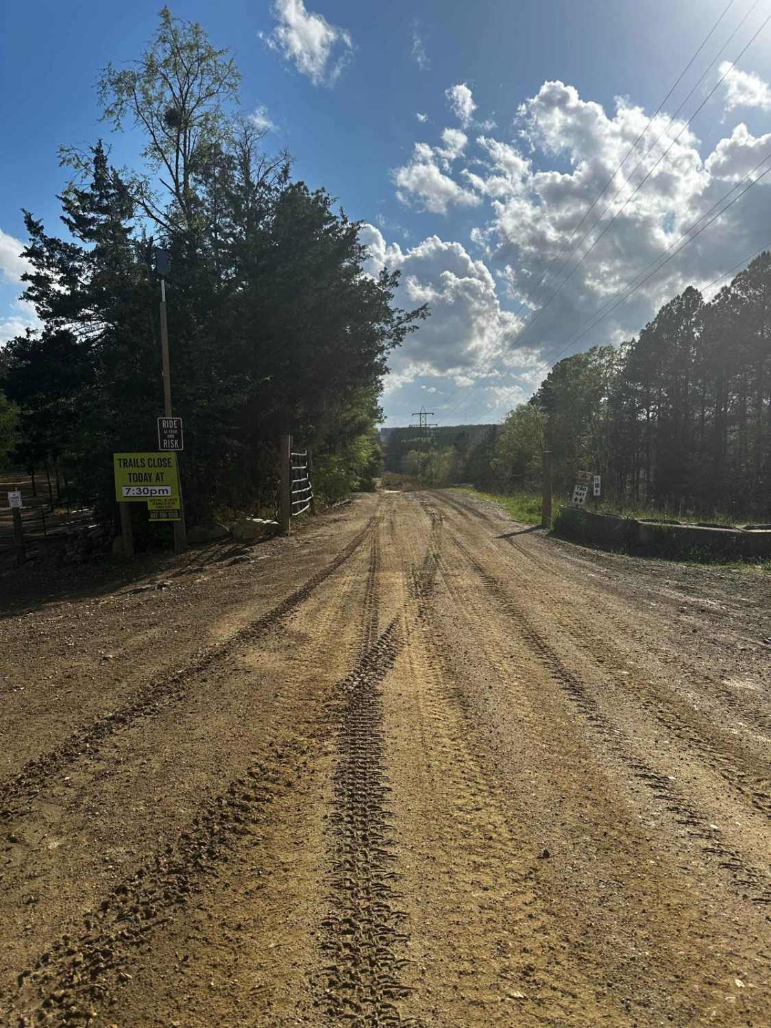
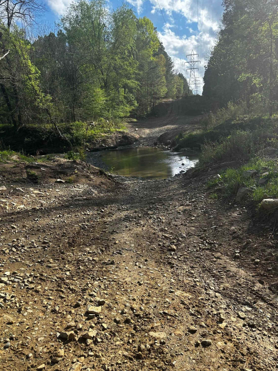
This is one of the main trails to access two of the longest trails in the park. It is wide like a service road and is also known as the Powerline Trail (powerline towers go down the whole trail). Expect a creek crossing and clay/bedrock for 50% of the trail. It ends at Trail 4.
Photos of Trail 11
Difficulty
This is an easy trail due to its width. It's a straight shot down to Trail 4 and provides access to other trails. The creek crossing closes the trail if the creek has more than a foot of water.
History
There's a creek crossing about a third of the way down.
Status Reports
Popular Trails

Woman Dam Road

Markert Road (662)

Killian Swamp Road
The onX Offroad Difference
onX Offroad combines trail photos, descriptions, difficulty ratings, width restrictions, seasonality, and more in a user-friendly interface. Available on all devices, with offline access and full compatibility with CarPlay and Android Auto. Discover what you’re missing today!


