Fingerboard Road
Total Miles
14.3
Technical Rating
Best Time
Spring, Summer, Fall, Winter
Trail Type
High-Clearance 4x4 Trail
Accessible By
Trail Overview
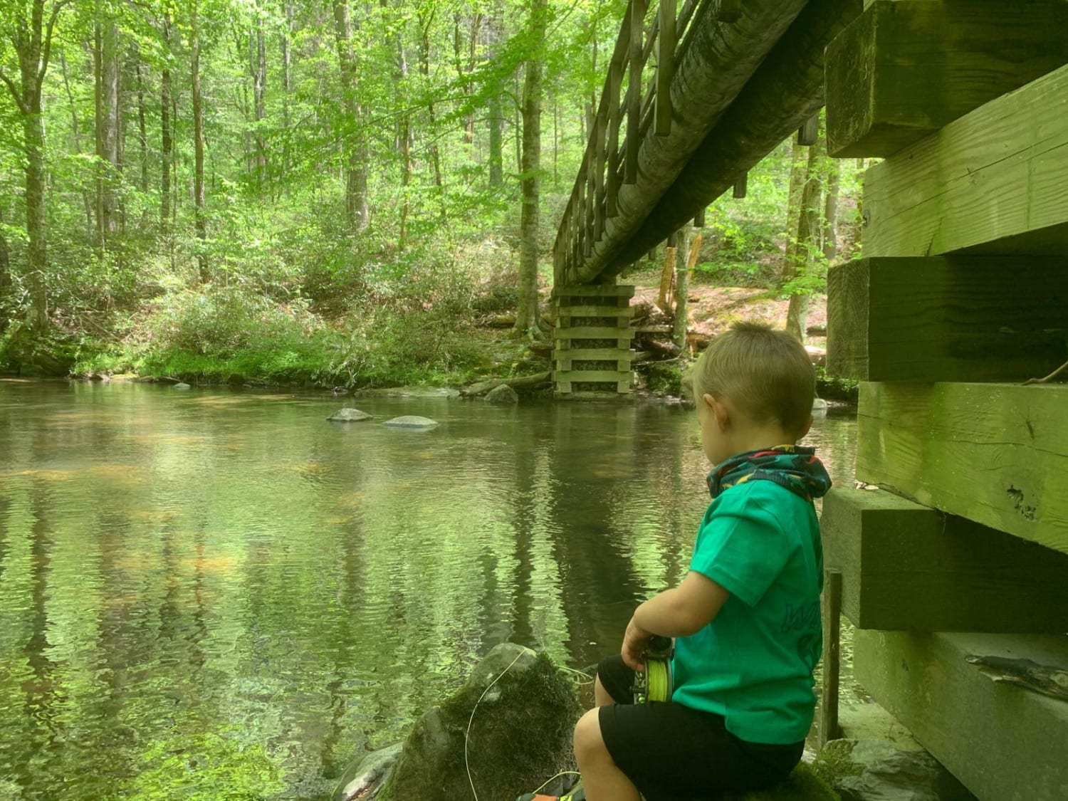
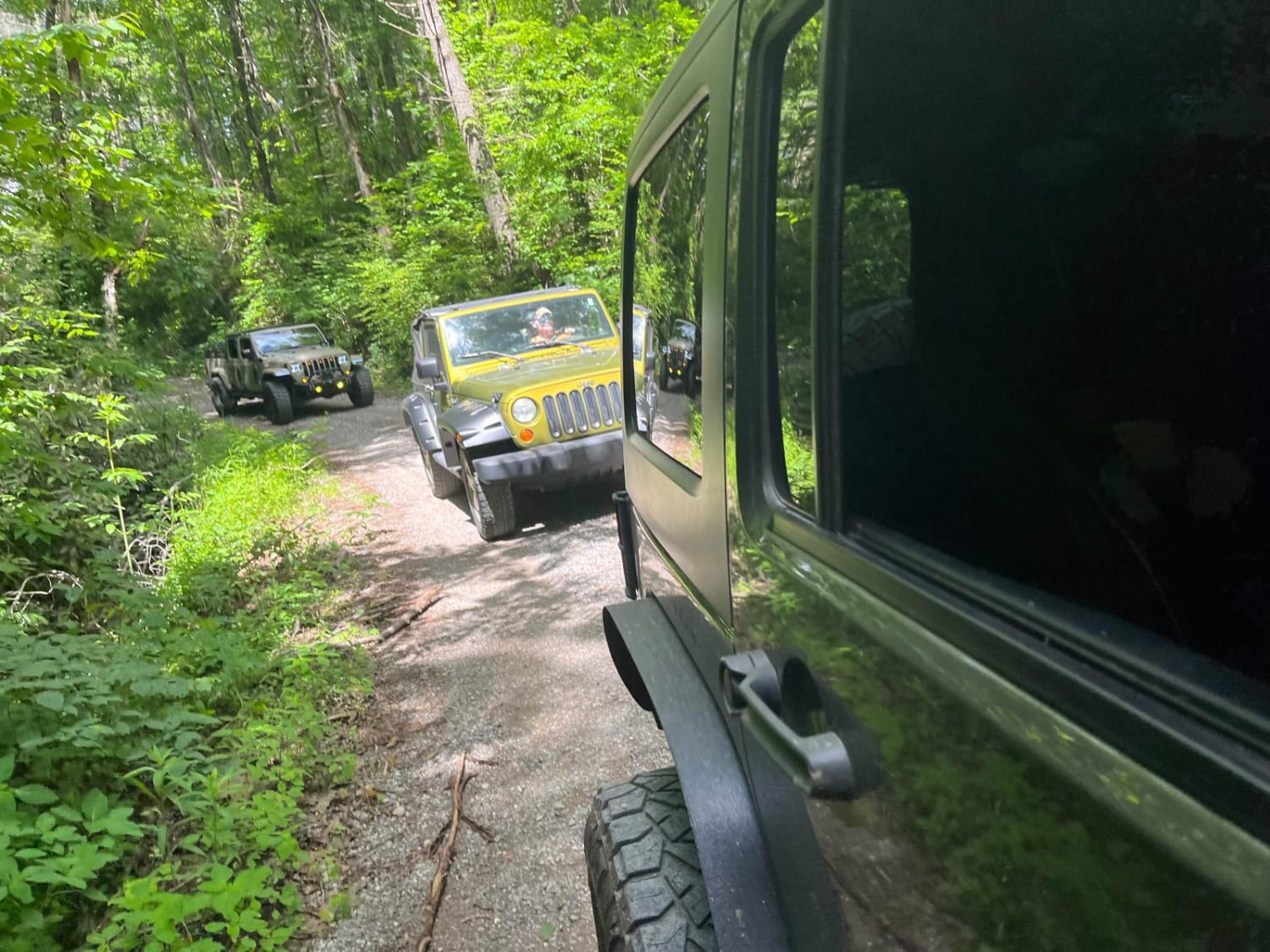
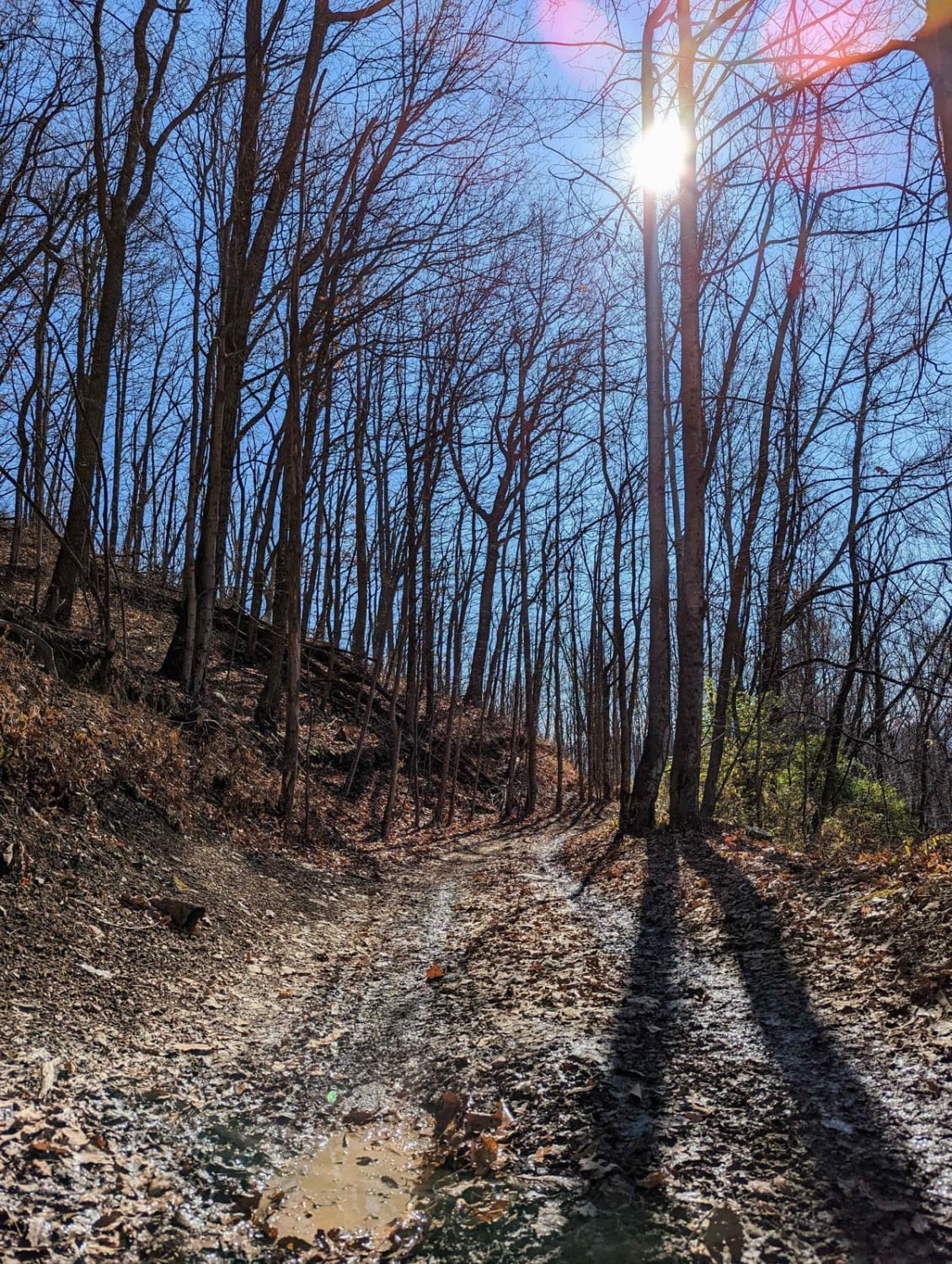
This trail is a gravel trail to the trailhead to some pretty cool hikes. With a few spots to camp down next to a quiet little stream. Along the way, you will find some washouts with some hidden culverts that can be uncovered after storms so just be on the watch. This is an out-and-back trail that will reward you at the end with a very nice hill descent and climb on the way back up. These are where the primitive campsites are down next to the water. There is a log bridge across the water if you hike past the last campsite. This is where the trailheads are to the hiking trails. I always bring a fishing rod to this spot cause there is always fishing hanging out under the bridge.
Photos of Fingerboard Road
Difficulty
Wash out can become deep after storms. The hill climb at the end of the trail has some obstacles over a few feet.
Status Reports
Popular Trails
Old Mill Creek Road
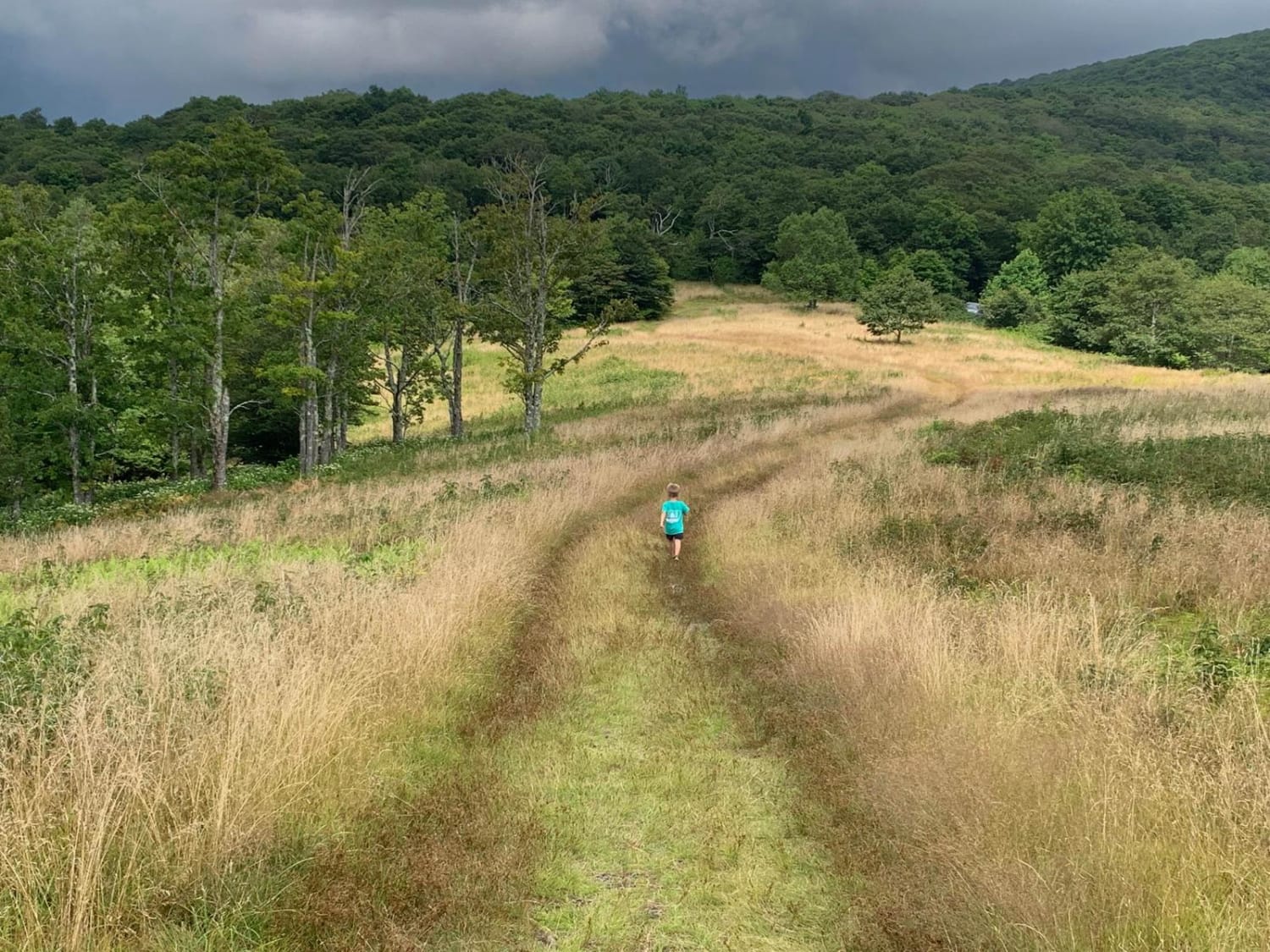
Wigg Meadow
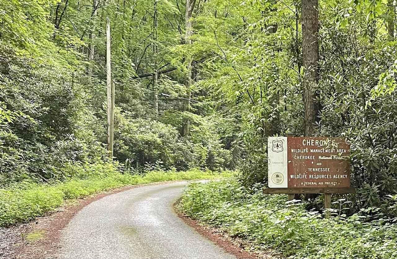
Little Stoney Creek/Laurel Fork
The onX Offroad Difference
onX Offroad combines trail photos, descriptions, difficulty ratings, width restrictions, seasonality, and more in a user-friendly interface. Available on all devices, with offline access and full compatibility with CarPlay and Android Auto. Discover what you’re missing today!
