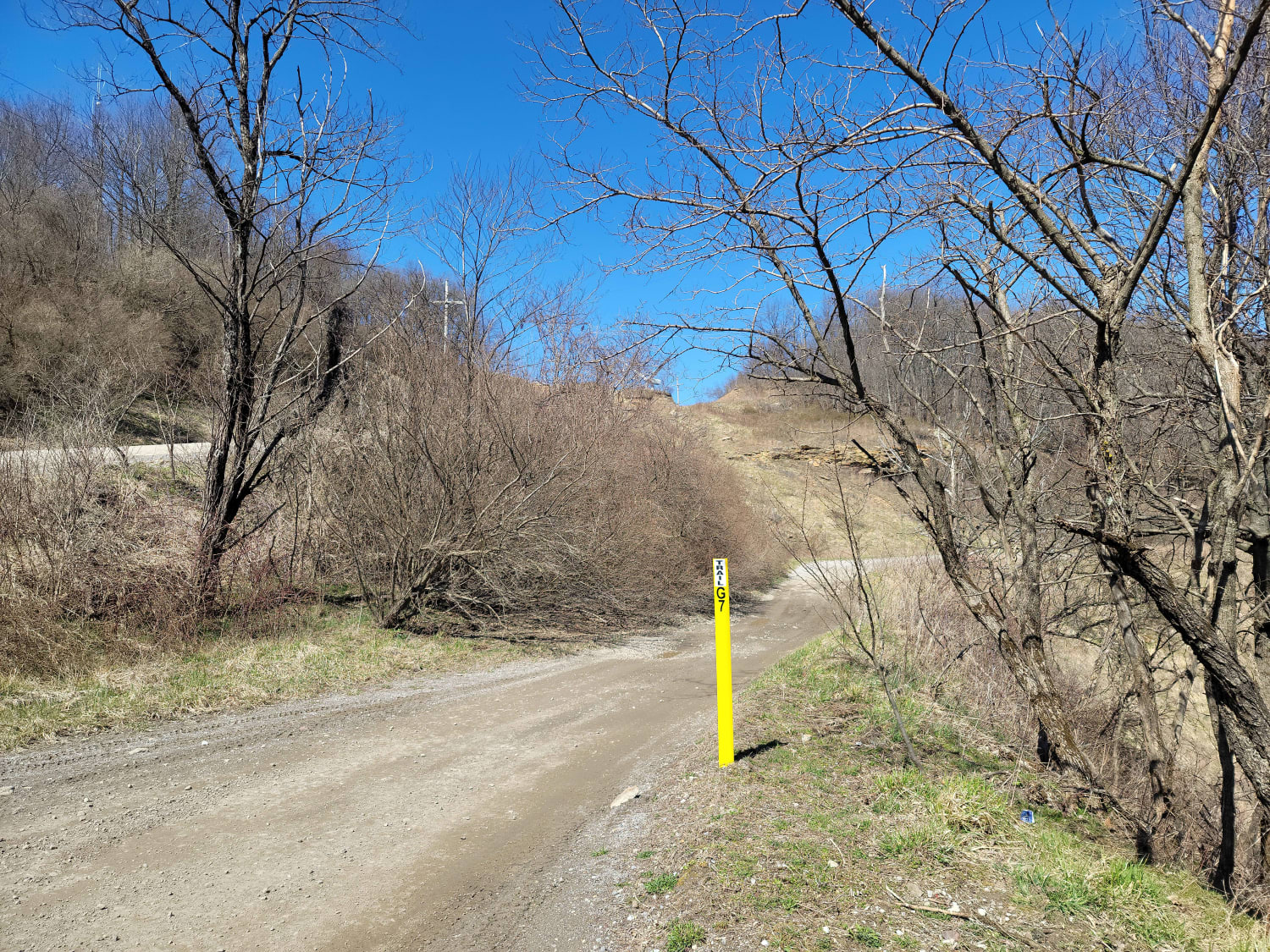
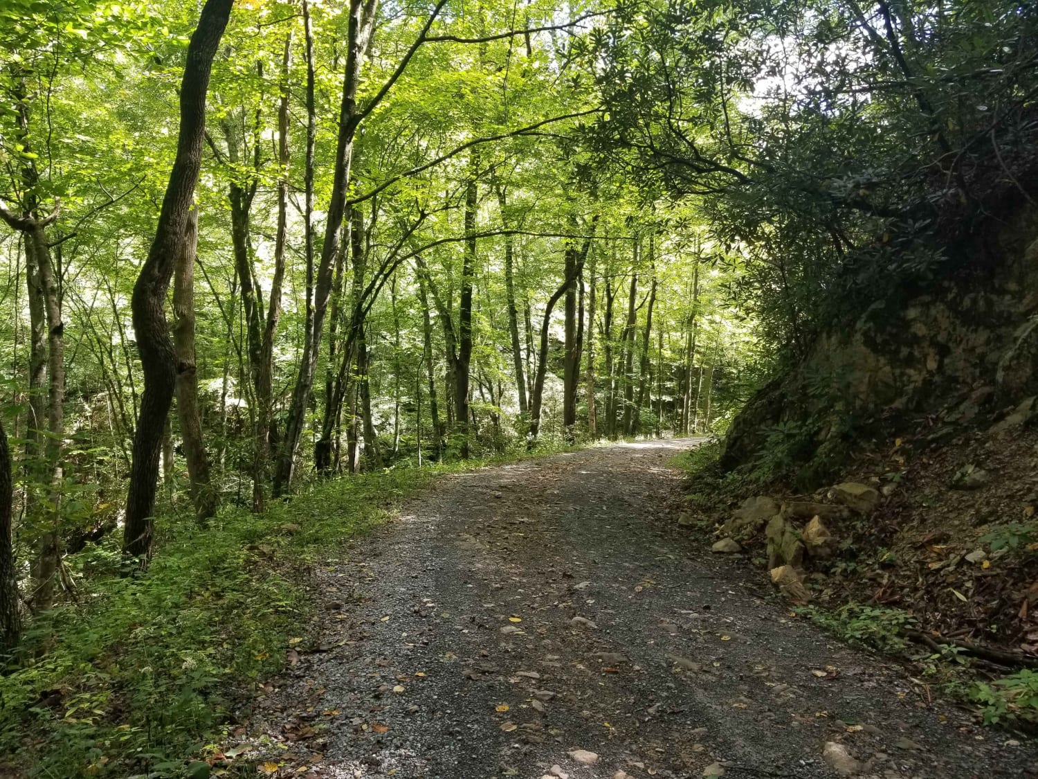
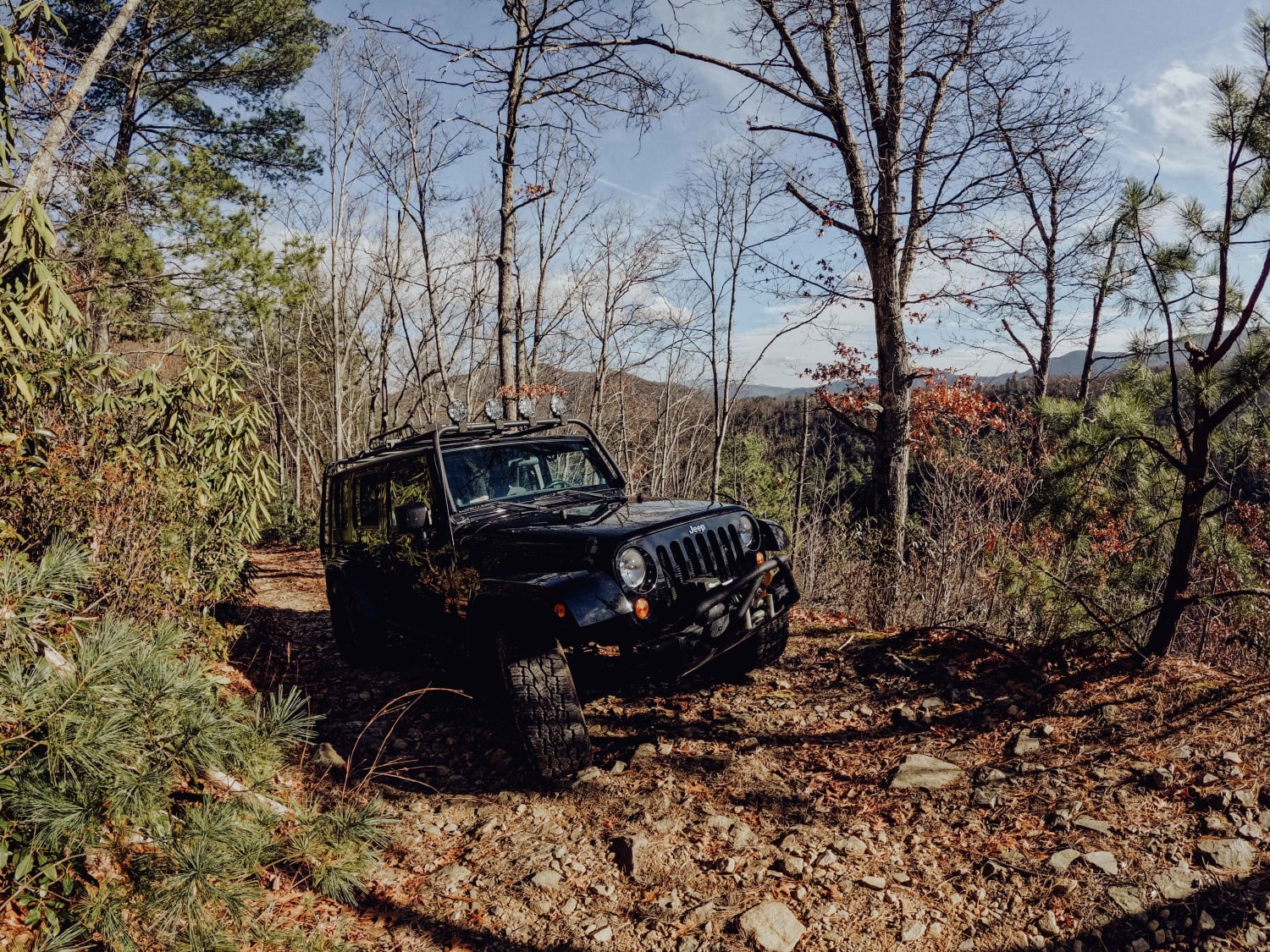
G7 - New River
Total Miles
4.2
Elevation
988.96 ft
Duration
--
Technical Rating
Best Time
Spring, Summer, Fall, Winter
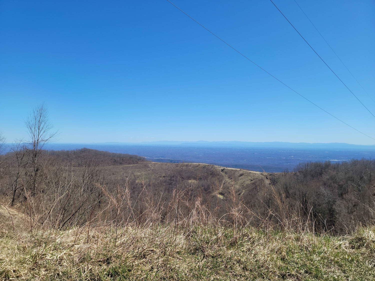
Trail Overview
Per the park's naming guidelines, trails that start with a "G" are primarily gravel. This heavily traveled path has very little gravel and now is mostly washed out rock and dirt. This trail is known to have a few of the local elk herd cross the trail in front of drivers to their grazing grounds. Tread lightly to not disturb them or the local trails that connect to the Tennessee Wildlife Resources Agency (TWRA). These trails can be marked with a sign stating that you are leaving Wind Rock Park or entering TWRA. TWRA does require a permit and can be obtained online before crossing into any TWRA territory (High Impact Habitat Conservation Permits).
Photos of G7 - New River
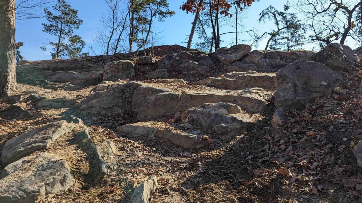
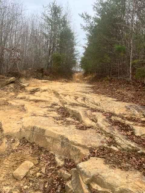
Difficulty
Some ruts are around 1-1.5' in height and small drop offs that could do minor damage to the body of the vehicle.
History
Trail G7 exudes evidence from the park's previous and current history of being owned by a coal mining company, and now primarily a natural gas venue with substations and lines all over the parks property.
Popular Trails
Trail 75 Walden's Ridge
Coalmont OHV Trail 1 Blue
Jacobs Creek
No Business Knob
The onX Offroad Difference
onX Offroad combines trail photos, descriptions, difficulty ratings, width restrictions, seasonality, and more in a user-friendly interface. Available on all devices, with offline access and full compatibility with CarPlay and Android Auto. Discover what you’re missing today!