Main Forest Road
Total Miles
13.6
Technical Rating
Best Time
Spring, Summer, Fall
Trail Type
Full-Width Road
Accessible By
Trail Overview
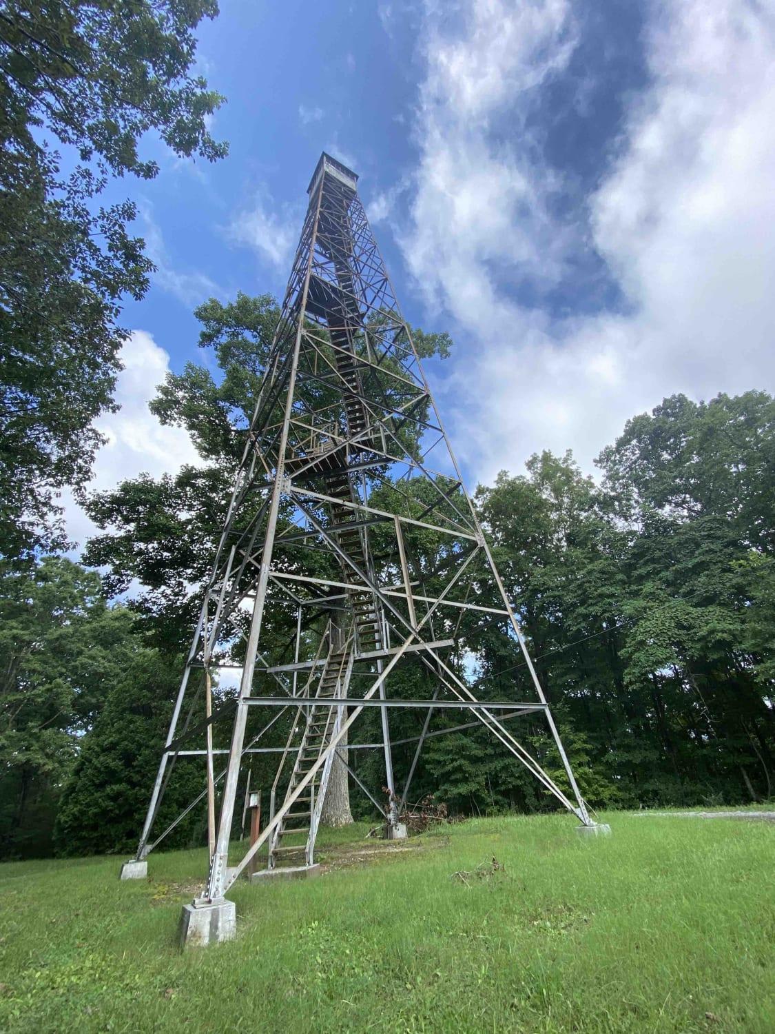
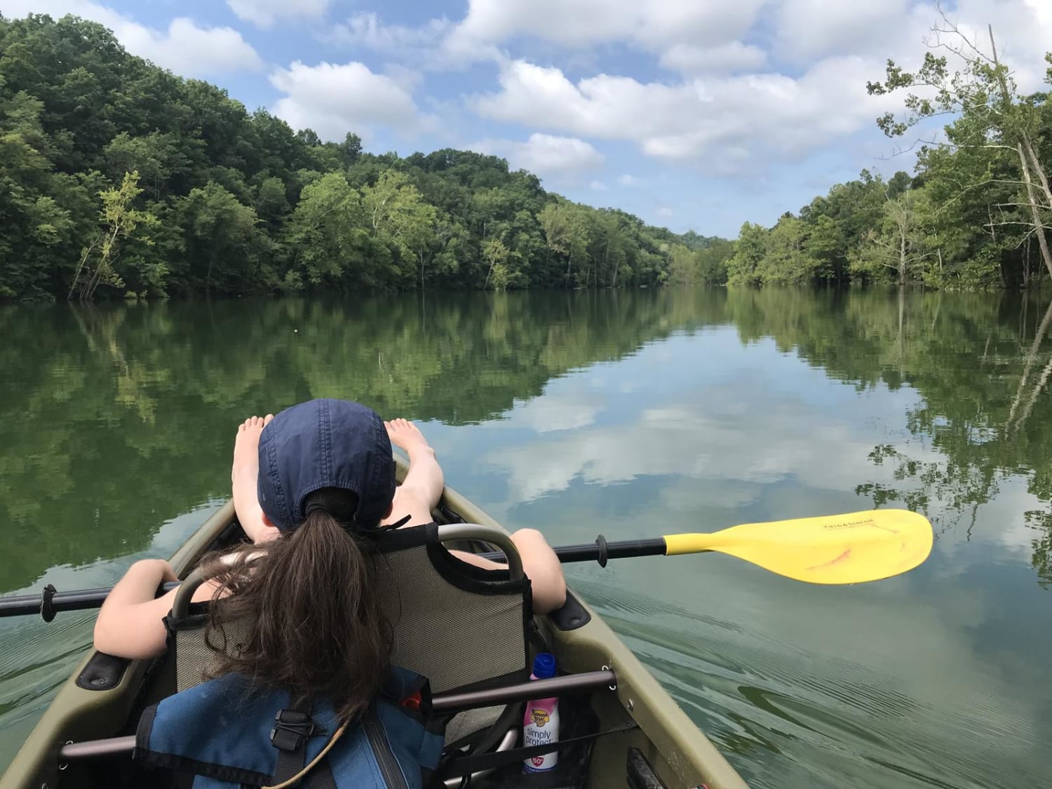
Main Forest Road runs from the entrance to Chuck Swan State Forest until it meets Forks of River Road, which will take you to the very end of this route. It's relatively smooth in comparison to the rest of the roads in CSSF, and outside of the occasional washout or exposed bedrock, it's easily traversed by a 2WD. Along this route, you'll find a number of historic cemeteries, lake views, picnic areas and a variety of wildlife. Since Chuck Swan is a popular game area, be aware of access changes during big game hunts, and always be on the lookout for wild game crossing the road. In particular, watch for deer crossing the road near the large corn and sorghum fields. Camping inside of CSSF isn't allowed, but there are two camping areas just outside of the entrance.
Photos of Main Forest Road
Difficulty
The Main Forest Road is usually well maintained and has room for two vehicles to pass the entire route.
History
Prior to 1934, the area now known as Chuck Swan was made up of small parcels and farms. The land was acquired by the Tennessee Valley Authority in connection with the Norris Dam project. Chuck Swan WMA, originally known as Central Peninsula and is still called that today by many users, was officially sold to the State of Tennessee by the United States of America, Tennessee Valley Authority for a sum of $6,498.00 in 1952. Historical data shows Chuck Swan was being managed by TWRA (TN Fish and Game Commission) prior to 1952. Deer stocking efforts were taking place at Chuck Swan WMA in 1937. These deer were eventually used as a major source for the deer restoration efforts across the state until the end of the stocking program in 1985. During that time, Chuck Swan WMA provided deer to 41 different counties in Tennessee. Chuck Swan WMA has always been a destination for Tennessee sportsman and that legacy continues today. The area is also home to several cemeteries, a firing range, and miles of drivable roads.
Status Reports
Main Forest Road can be accessed by the following ride types:
- High-Clearance 4x4
- SUV
- ATV (50")
- Dirt Bike
Main Forest Road Map
Popular Trails
Flatwoods Road Extension
Ride Royal Blue Trail - Trail 27

G53 - Radar Base
The onX Offroad Difference
onX Offroad combines trail photos, descriptions, difficulty ratings, width restrictions, seasonality, and more in a user-friendly interface. Available on all devices, with offline access and full compatibility with CarPlay and Android Auto. Discover what you’re missing today!
