McCormick Cemetery Road - Trail 24
Total Miles
4.1
Technical Rating
Best Time
Spring, Summer, Fall
Trail Type
Full-Width Road
Accessible By
Trail Overview
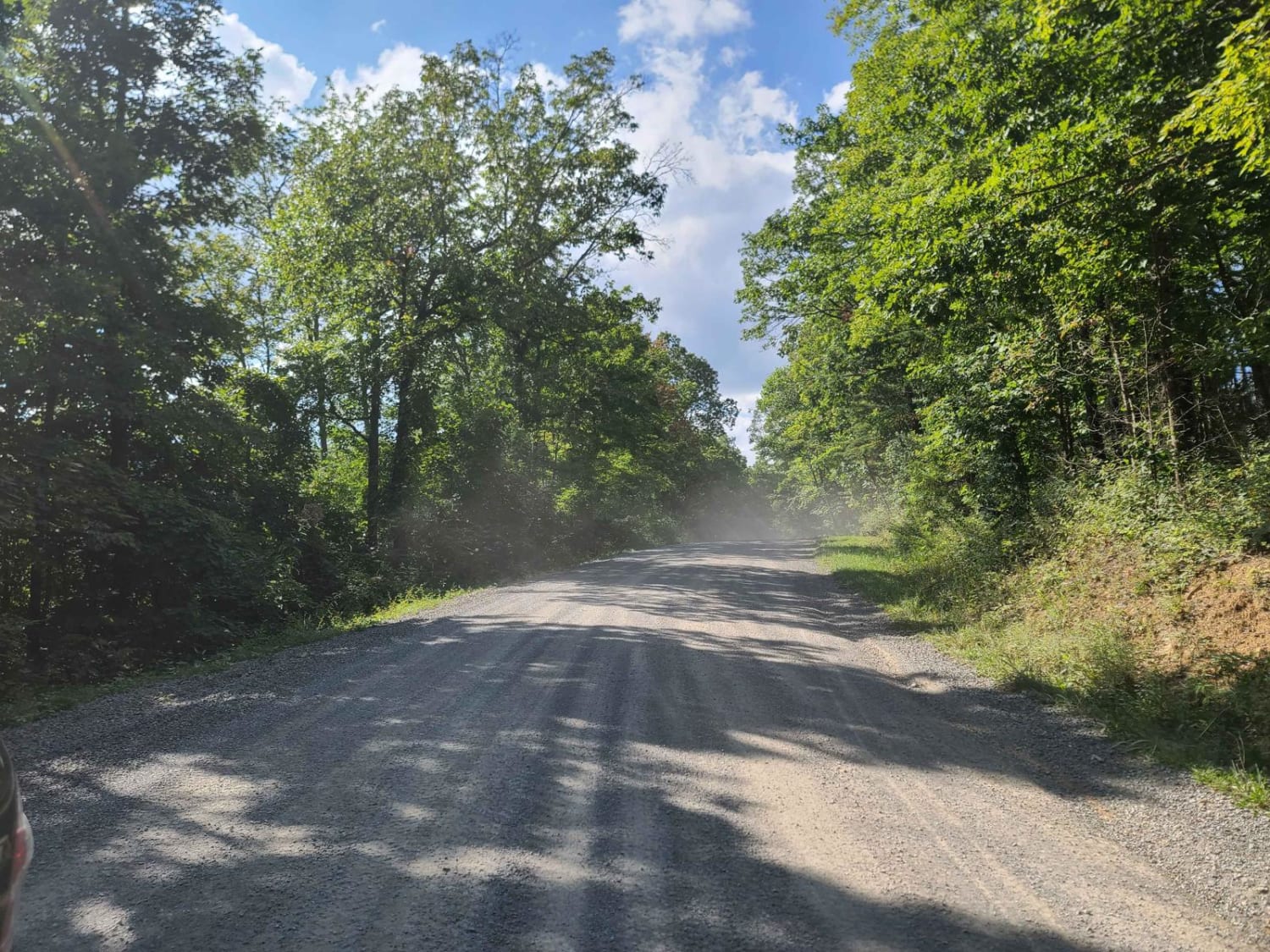
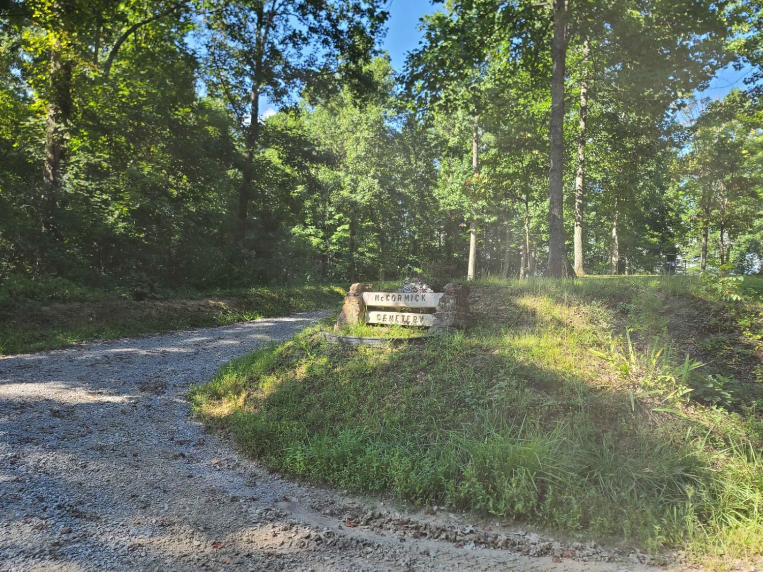
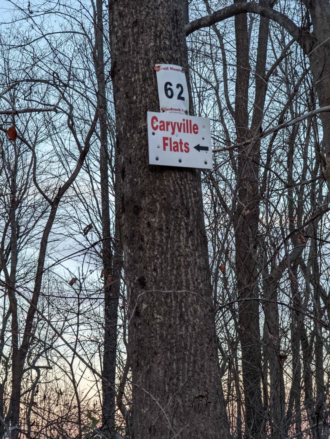
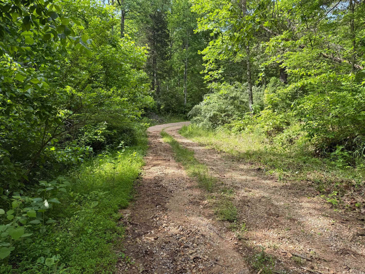
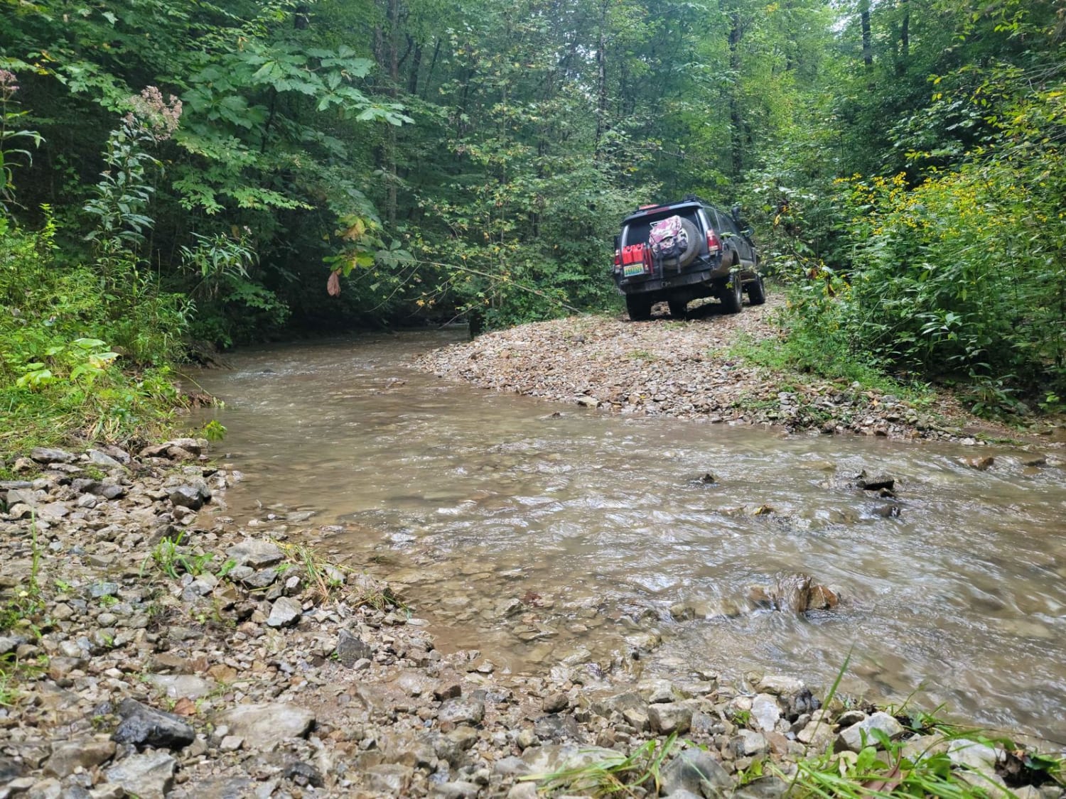
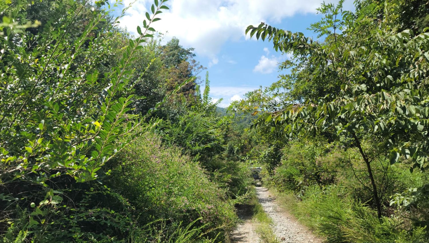
This trail is a maintained gravel road that connects several other popular trails. At one end it connects to Trail 19, and at the other end, it connects to Trail 25. Trail 37 is also accessible from this trail and is a popular waterfall destination. There is also a cemetery called McCormick Cemetery, as the road name implies, and a few good views of the mountains along the way. Several pull-offs and campsites can be found off the road. Some of the steeper sections are washed out and rocky which may be an issue for lower vehicles. Airing down is also recommended on this road for extra comfort. The use of trails in the North Cumberland WMA requires a valid TWRA Riding permit (Type 38, 72, or 71 for Out of State) or the necessary hunting permits to hunt in the North Cumberland WMA (Type 001 and 093 for residents). These are available at https://license.gooutdoorstennessee.com/.
Photos of McCormick Cemetery Road - Trail 24
Difficulty
Most of the trail is a smooth gravel road, but there are a few rockier sections where you will have to choose your line carefully if you are in a stock vehicle.
Status Reports
McCormick Cemetery Road - Trail 24 can be accessed by the following ride types:
- High-Clearance 4x4
- SUV
- SxS (60")
- ATV (50")
- Dirt Bike
McCormick Cemetery Road - Trail 24 Map
Popular Trails
G21 - Skinned Ash Creek
G31 - Pinstripe Alley
The onX Offroad Difference
onX Offroad combines trail photos, descriptions, difficulty ratings, width restrictions, seasonality, and more in a user-friendly interface. Available on all devices, with offline access and full compatibility with CarPlay and Android Auto. Discover what you’re missing today!
