Greenlane
Total Miles
0.9
Technical Rating
Best Time
Spring, Summer, Fall, Winter
Trail Type
High-Clearance 4x4 Trail
Accessible By
Trail Overview
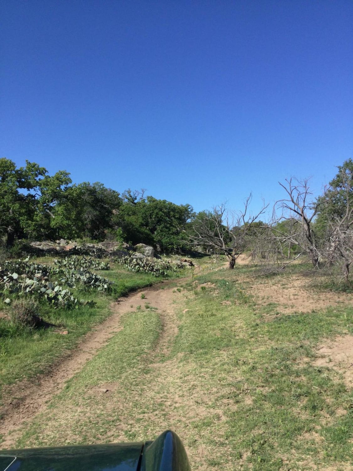
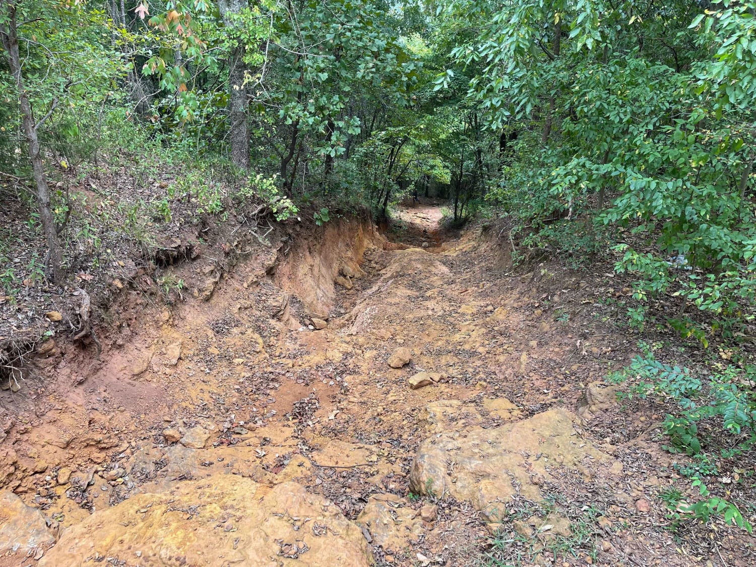
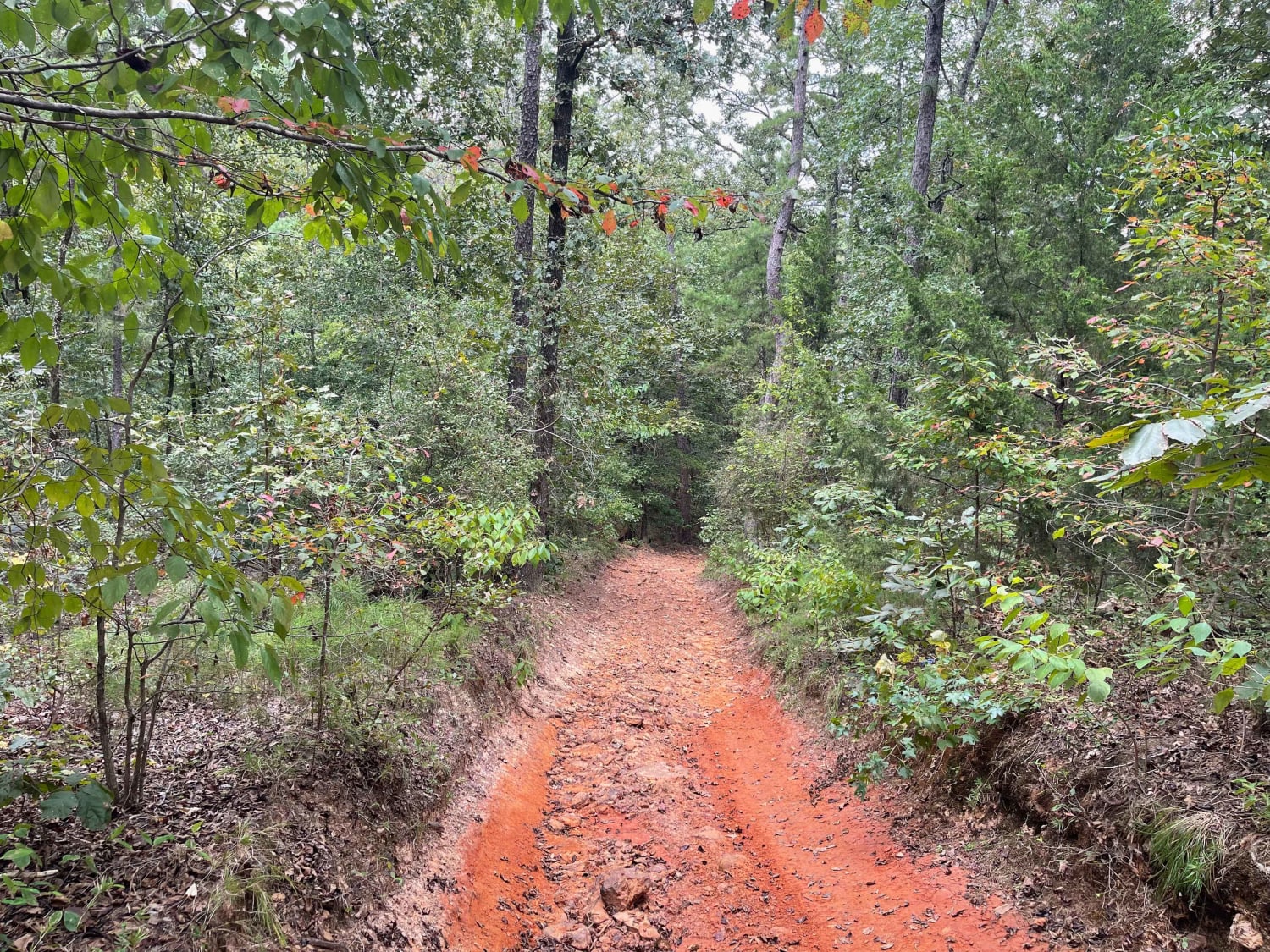
This trail is situated in the Barnwell Mountain Recreation Area, just outside of Gilmer, Texas. The upper half of the Green Lane trail offers some challenging terrain that is rated as difficult. The trail is passable by experienced drivers in higher-clearance 4WD vehicles. There is a larger ledge obstacle that is just as off-camber as it is steep. This off-camber ledge drop is the most challenging part of the trail. You will travel a short distance on another trail (Linda Gail) until you reach the fork in the road to enter the lower half of Green Lane. The lower half of Green Lane is highlighted by a steep climb out at the end (or similarly steep drop-in) that is very rutted and undercut. The lower half of Green Lane is short and sweet. There are bypasses for all obstacles (upper and lower) except for the final climb to the main road.
Photos of Greenlane
Difficulty
This trail has steep, challenging climbs, off-camber rock ledge drops, and rutted and undercut rock ledge climbs.
Status Reports
Greenlane can be accessed by the following ride types:
- High-Clearance 4x4
- SxS (60")
- ATV (50")
- Dirt Bike
Greenlane Map
Popular Trails

Easy Street

Greenlane

Devils River State Natural Area

Hippie Hollow
The onX Offroad Difference
onX Offroad combines trail photos, descriptions, difficulty ratings, width restrictions, seasonality, and more in a user-friendly interface. Available on all devices, with offline access and full compatibility with CarPlay and Android Auto. Discover what you’re missing today!
