Smuggler's Strait
Total Miles
6.0
Technical Rating
Best Time
Summer, Winter
Trail Type
High-Clearance 4x4 Trail
Accessible By
Trail Overview
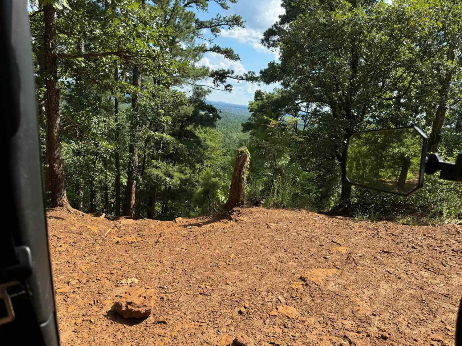
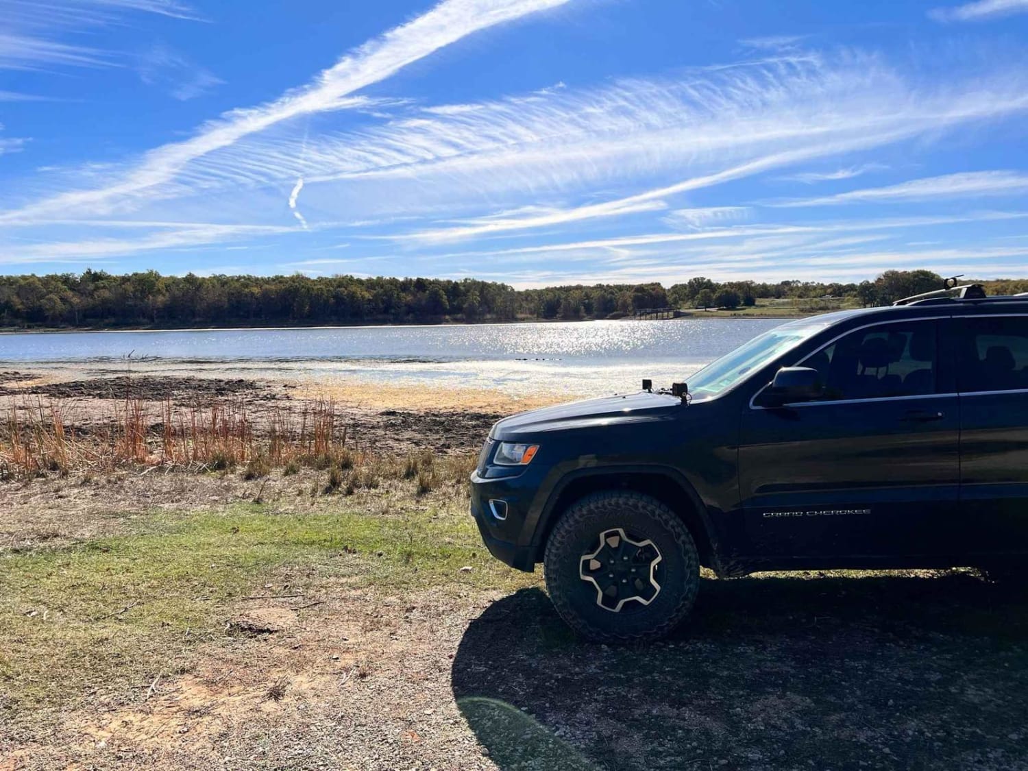
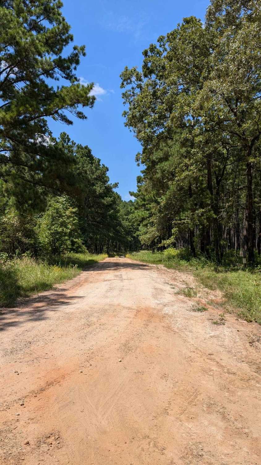
Soft dirt road in the Alabama Creek Wildlife Management Area that will lead you through a changing landscape of gravel, grass, washouts, and mudholes up to 12" with some light off-camber grading. Half of this trail is only one vehicle wide. Be careful on this trail in heavy rain.
Photos of Smuggler's Strait
Difficulty
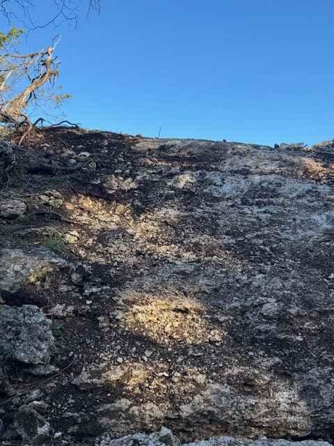
This trail consists of mainly dirt, but there are gravel stretches and even some pretty hefty ruts. This trail has a few washouts and as the elevation decreases, the chance increases for running into a flood plane during the heavier rains that this area receives during Spring and Fall. This trail is best to do while it's dryer out, so I would recommend that this trail be taken during late summer and during the deer hunting season. The trail gets tight after you cross highway 2262, so I would recommend limb risers, as this trail is not one that gets a lot of maintenance during the off-season.
History
There are great places to fish, hunt, camp, and sightsee, but the history of the area is the reason I explored it. This is a trail used by private hunters, and Forest Service members to access this area of the Davy Crockett National Forest. This area was known to smugglers in the 1800s and even earlier, and these smugglers needed a spot to cross the Neches River in a covert way.
Status Reports
Popular Trails

Mud Creek Road

Pine Hill Run

Hopewell Road
The onX Offroad Difference
onX Offroad combines trail photos, descriptions, difficulty ratings, width restrictions, seasonality, and more in a user-friendly interface. Available on all devices, with offline access and full compatibility with CarPlay and Android Auto. Discover what you’re missing today!


