Backdoor to Little Sahara
Total Miles
15.2
Technical Rating
Best Time
Spring, Summer, Fall, Winter
Trail Type
Full-Width Road
Accessible By
Trail Overview
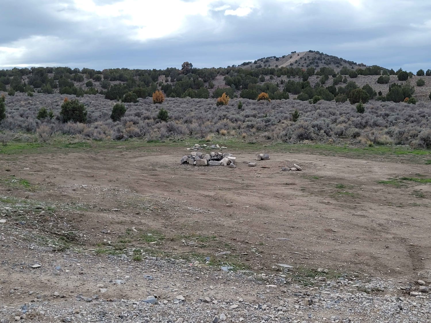
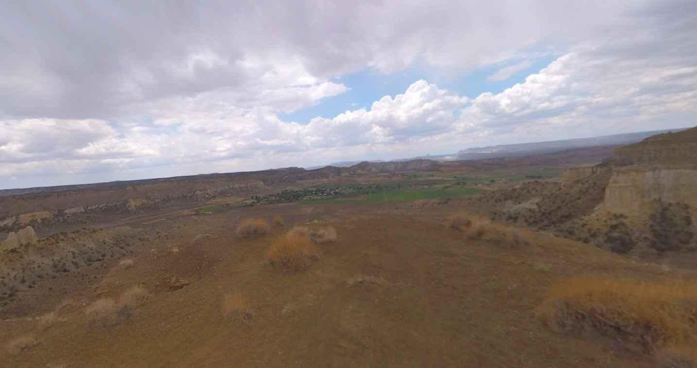
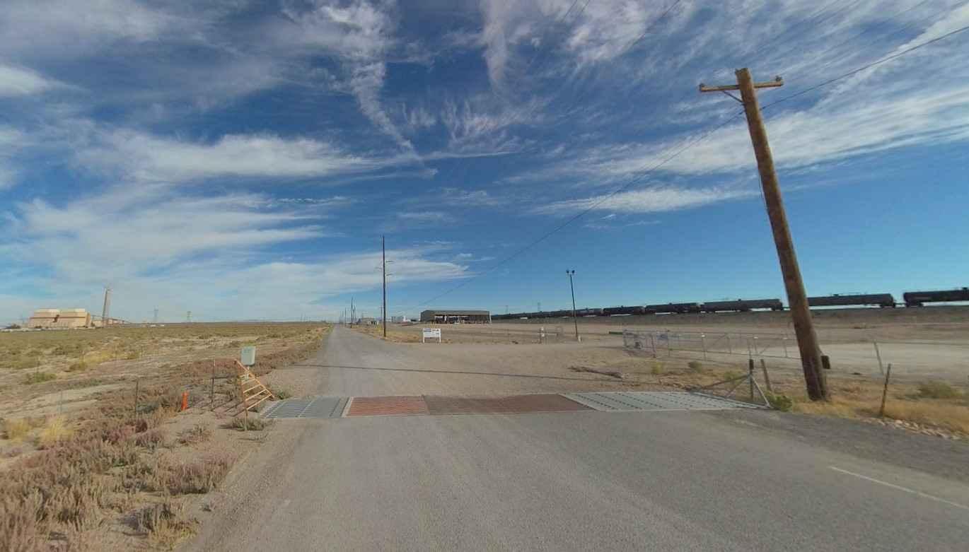
Backdoor to Little Sahara is a 15.3-mile point-to-point trail rated 3 of 10 located in Millard and Juab Counties. The trailhead is located on Brush Wellman Road a little over 7 miles west from US Highway 6. This trail will lead riders north and eventually enter the western side of the Little Sahara Recreation Area (LSRA). This track ends at the western boundary since the LSRA is an open recreational area. The trail starts off for the first 2.5 miles as a well-maintained gravel road as it passes multiple commercial properties. Once past this point, the track becomes an old desert track that does not see significant use but yet is in good condition due to the hard-packed nature of the ground. The trail gets its 3-rating due to spots of deep sand and the few ruts found crossing water drainages. At the LSRA boundary, there is the option to enter the recreational area or cut north along more than 100 miles of desert tracks in the Seiver Desert. Little Sahara Recreation Area is 60,000 acres of sagebrush flats, juniper-covered hills, and free-moving sand dunes. Less than a two-hour drive from Salt Lake City, LSRA provides an experience unlike any other for OHV fun. Visitors frequent the recreation area for the challenges of climbing the 700-foot-tall Sand Mountain, the network of dirt trails around Black Mountain, low-lying dunes for beginners, and the White Sand Dune bowls. The LSRA is a national recreational area and as such is a fee-for-use area. Recreation passes ranging from 1-6 nights, and 2-7 days can be purchased ahead of time online at recreation.gov, through the Recreation.gov mobile app, or onsite at the self-registration station located on the entrance road and Rockwell. Cell phone service is intermittent and the nearest services are in Delta to the south and Nephi to the east.
Photos of Backdoor to Little Sahara
Difficulty
Trail consisting of loose rocks, dirt, and sand with some slick rock surfaces, mud holes possible, no steps higher than 12". 4WD may be required, aggressive tires are a plus.
Status Reports
Backdoor to Little Sahara can be accessed by the following ride types:
- High-Clearance 4x4
- SUV
- SxS (60")
- ATV (50")
- Dirt Bike
Backdoor to Little Sahara Map
Popular Trails

Dry Bread Upper ATV FS 6622

Horseshoe Way

Rusty Nail

Coal Bench Road-Garfield County 7800
The onX Offroad Difference
onX Offroad combines trail photos, descriptions, difficulty ratings, width restrictions, seasonality, and more in a user-friendly interface. Available on all devices, with offline access and full compatibility with CarPlay and Android Auto. Discover what you’re missing today!

