Coal Bench Road-Garfield County 7800
Total Miles
8.0
Technical Rating
Best Time
Spring, Summer, Fall
Trail Type
Full-Width Road
Accessible By
Trail Overview
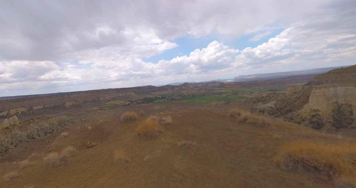
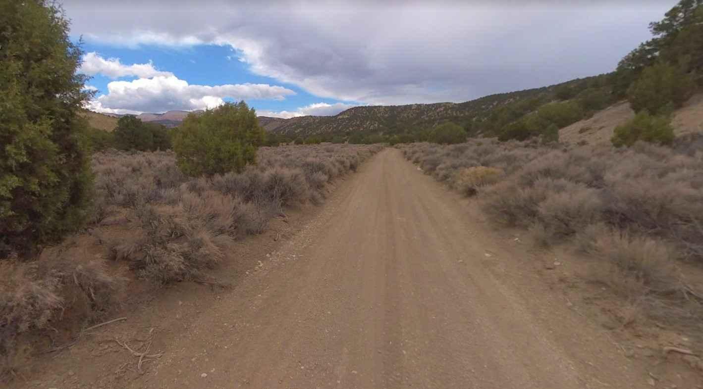
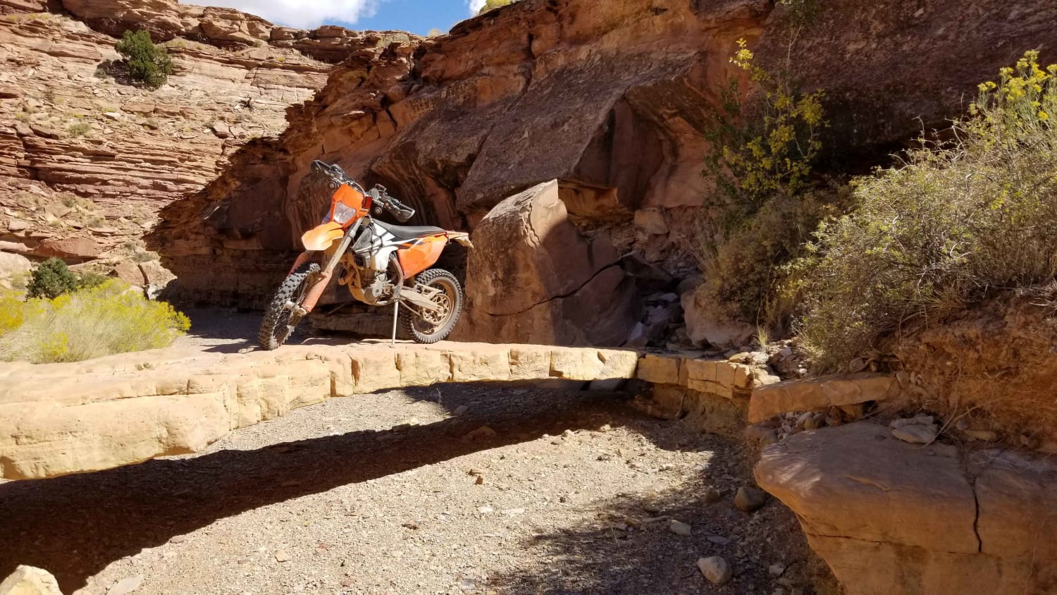
Coal Bench Road-Garfield County 7800 is an 8-mile point-to-point trail across one of the more unique geological near Tropic, Utah. Coal Bench Road is a easy trail rated 2 of 10. A bench is a long, narrow bedrock platform bounded by steeper slopes above and below, usually overlooking a waterbody. There are several short trails worth exploring that extend from the road. Because of the short length this trail (including all of its tangents), it only takes about two to three hours to complete. The road is mostly dirt and gravel roads with a few washes (usually dry) to cross. Because of the nature of this desert area, inclement weather can cause flash flooding and washing out of trails. Keep an eye on the weather during colder months and bring extra water during the summer. Lodging, restaurants, fuel and groceries can all be found in the town of Tropic. Similar services can be found east in Escalante, and to the west in Bryce. There are no facilities on the trail.
Photos of Coal Bench Road-Garfield County 7800
Difficulty
County dirt road with infrequent or light maintenance after rain or snow, high clearance light duty 4WD may be required.
Status Reports
Popular Trails

Hell's Hole (FS #41200)
Horse Canyon Road
Jacob City Soldier Canyon Loop
Waterfall Trail
The onX Offroad Difference
onX Offroad combines trail photos, descriptions, difficulty ratings, width restrictions, seasonality, and more in a user-friendly interface. Available on all devices, with offline access and full compatibility with CarPlay and Android Auto. Discover what you’re missing today!
