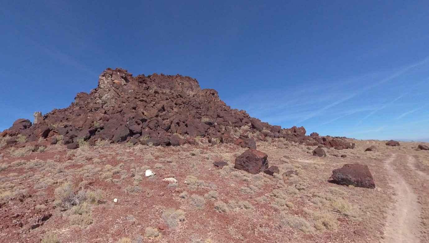
Baker Hogs Back Right Fork
Total Miles
3.9
Elevation
1,501.41 ft
Duration
0.75 Hours
Technical Rating
Best Time
Spring, Fall, Winter, Summer
Trail Overview
Baker Hogs Back Right Fork is a 6.3-mile point-to-point trail rated 3 of 10 in Juab County, Utah. The Baker Hogs Back Loop (Baker Springs, Hog Back Road, and Right Fork) is known for two major attractions. The first is the hot spring near the intersection of Baker Hot Springs Road and Baker Hogs Back Road. The second is the Fumarole Butte just off the Baker Hogs Back Right Fork. Baker Hogs Back Right Fork may be traveled in either direction and is an east/west crossing of the Hogs Back. The track is well defined in the hard pack as an impressioned track in the rocky topsoil. Generally, ATVs/SxSs utilize the entire loop, while 4x4s and full-size vehicles just run out and back to the attractions. Approximately 4 miles from the trailhead at Brush Wellman Road is the turnoff to the Fumarole Butte. This geological feature is a shield volcano composed of basaltic andesite. It stands 679 feet in height and has a diameter of 7 miles. Shield volcanos are the largest in the world and are formed when their highly liquid magma flows out from the point of eruption. They do not form conical mountains as the liquid magma just continues to flow outward. Over multiple eruptions, a shield volcano will create layers upon layers. Two of the most famous shield volcanos are Mauna Loa and Kilauea in Hawaii. This volcano, Fumarole Butte, last erupted over 10,000 years ago. Continuing north on the Right Fork, the trail intersects with Baker Hogs Back Road. Continuing east will bring travelers to the Baker Hot Springs for an invigorating dip free of charge. The nearest services are located in Hinckley or Delta both to the east of this area. Cell phone service is intermittent.
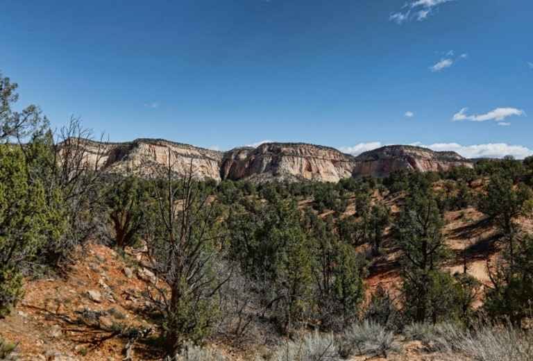
Photos of Baker Hogs Back Right Fork
Difficulty
This is an unmaintained dirt track that may be muddy or snow covered during inclement weather.
Popular Trails
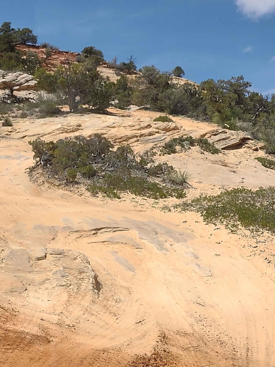
Hog Slant Rock Climb
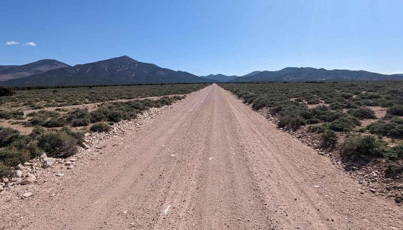
Rose Canyon
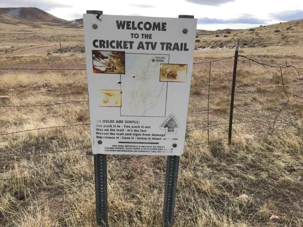
Cricket Mountain OHV Route 5
Upper Barracks Trail-BLM20
The onX Offroad Difference
onX Offroad combines trail photos, descriptions, difficulty ratings, width restrictions, seasonality, and more in a user-friendly interface. Available on all devices, with offline access and full compatibility with CarPlay and Android Auto. Discover what you’re missing today!
