Bald Knolls
Total Miles
2.4
Technical Rating
Best Time
Summer, Fall
Trail Type
60" Trail
Accessible By
Trail Overview
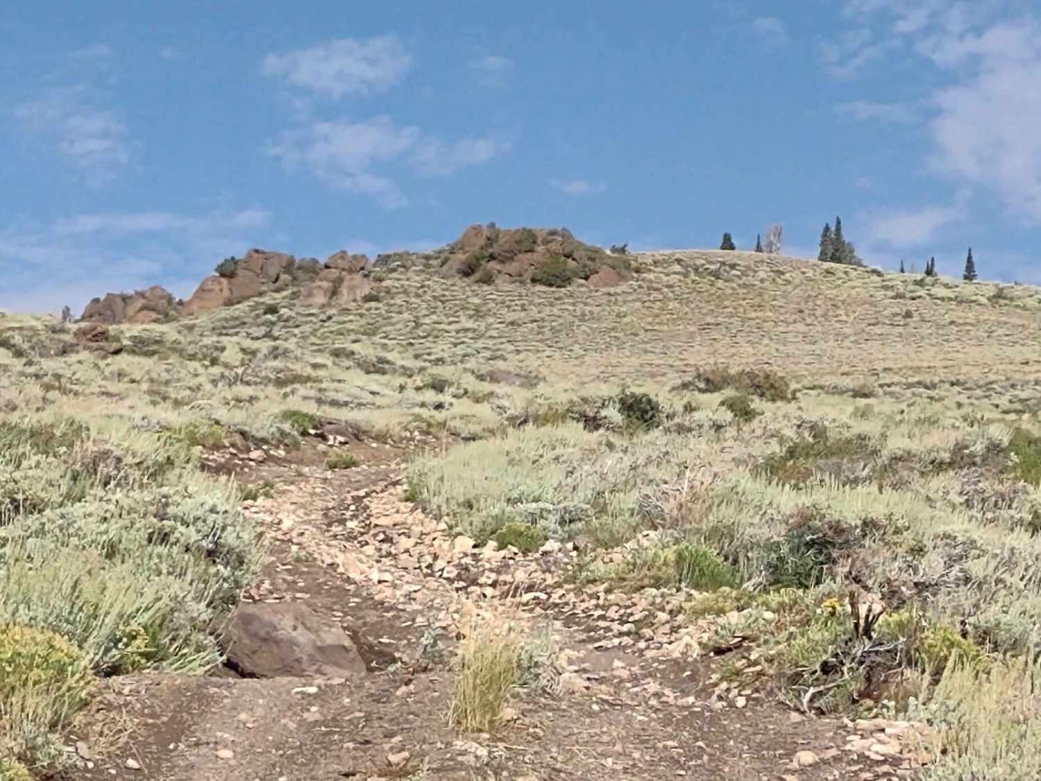
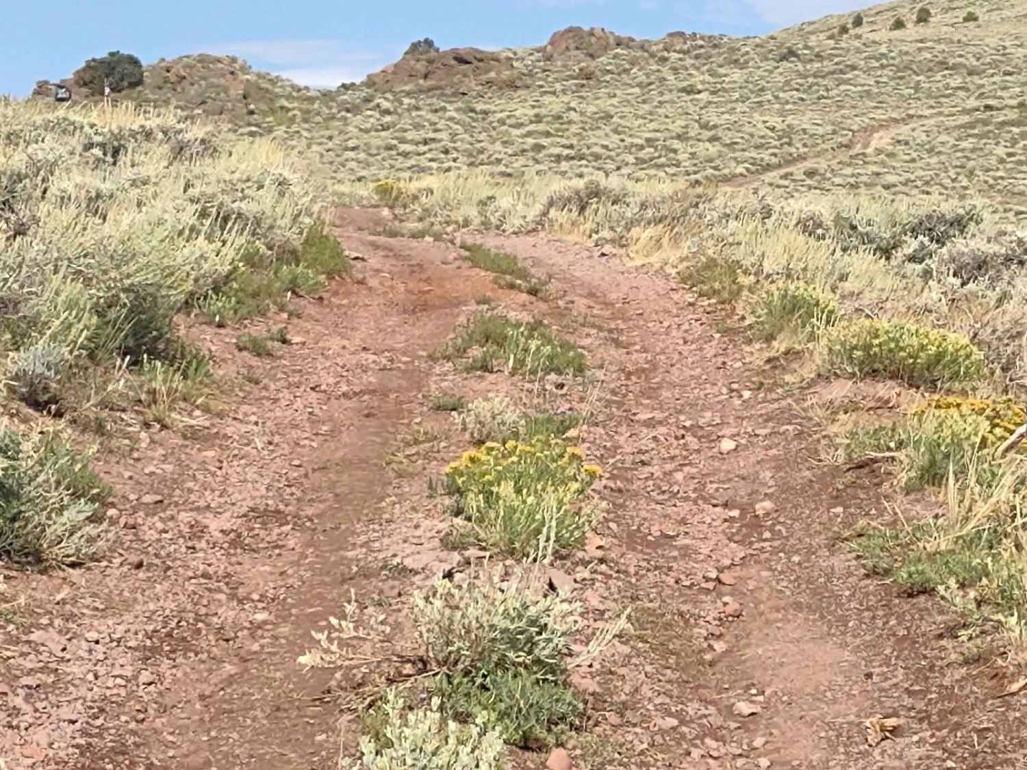
This 60" trail, high up on Monroe Mountain in the Fishlake National Forest, leaves the FS #41185 Extension (50" Trail) and goes up the steep climb to the top of Bald Knoll. There is a beautiful view up here of the Sevier River, Marysvale, the valley, and the Tushar Mountains across the valley. It is a steep climb, and there is some loose rock on the trail. At the top there is plenty of room for several vehicles at once, and the trail drops off the other side on a zig-zag trail that winds down into Poverty Flat. The zig-zag has tight hairpin turns, and the trail surface is loose and soft, especially so after a lot of rain. Three-point turns might be necessary, and we had to winch one car back onto the trail after the loose gravel/dirt slid over the edge under his front tire, taking him over, too. After you drop down off Bald Knoll, as you work your way down to Rocky Escalator, the trail flattens out in some areas, then drops off another mountain's sid. The switchback turns aren't as tight or as numerous as above, but you get into some shale that's loose on one corner. After recent rain, this trail is a bit dicey. But it's fun and challenging, and it's a great way to get to the trails over in Poverty Flat.
Photos of Bald Knolls
Difficulty
Steep incline with loose rock, tight switchback turns with loose gravel and shale rock, narrow trail.
Status Reports
Bald Knolls can be accessed by the following ride types:
- SxS (60")
- ATV (50")
- Dirt Bike
Bald Knolls Map
Popular Trails
Tusher Wash Right
Sunshine Canyon Trail
Big Springs - FS 70109
The onX Offroad Difference
onX Offroad combines trail photos, descriptions, difficulty ratings, width restrictions, seasonality, and more in a user-friendly interface. Available on all devices, with offline access and full compatibility with CarPlay and Android Auto. Discover what you’re missing today!
