BLM1443 - Davis Canyon Road
Total Miles
7.9
Technical Rating
Best Time
Spring, Summer, Fall
Trail Type
Full-Width Road
Accessible By
Trail Overview
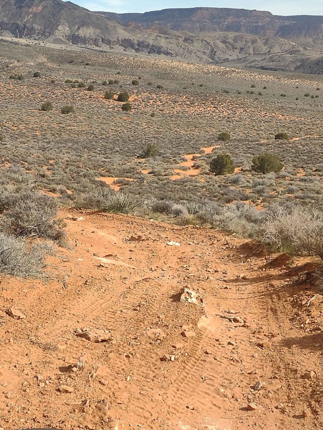
Davis Canyon Road is a 7.9-mile (15.8 round trip) out-and-back trail rated 3 of 10 located within the Indian Creek Recreation Area portion of Bears Ears National Monument. This is a destination trail for various types of recreation. This mostly dirt and sand track starts at Park Highway (Highway 211) and ends at the boundary of the Canyonlands National Park. This specific trail is well known for the southern views of the Six Shooter Peaks (North and South), access to hundreds of technical rock-climbing opportunities as well as multiple ancient Puebloan sites including petroglyphs, pictographs and ruins. Only hiking is allowed past the boundary with the national park. Once leaving the highway the track will pass through a couple of gates which should be unlocked (leave them as found) as well as a collection corral. The first couple of miles heading up the wash is fairly firm with a good mixture of sand and rock. At about the 3-mile point the Lavendar Canyon Road is on the left. At this point, the track will slowly degrade over the next several miles. At about 6.5 miles the trail transitions from the open wash into more of a canyon setting. There is more shrubbery in this area due to the multiple springs. The canyon will start to narrow and the track will become mostly sand which can be deep at times. Once entering into the canyon carefully look at the ledges and alcoves above for signs of ancient ruins. Between the canyon entrance and the end of the trail, several ruins can be seen. At the end of the trail is a fenced boundary. This is part of Canyonlands National Park (entry permit required). A short quarter-mile hike will bring travelers to an unusual pictograph called "Five Faces" (38deg 3'55.88"N, 109deg41'10.75"W). For the more adventurous a longer hike down the canyon (several mile round trip) is a natural arch and other ruins. This is an extremely remote area with no cell service. The nearest services are located in Monticello. The BLM has designated this road as primitive and open to all motor vehicles. However, due to the potential for deep sand, this trail is not recommended for 2WD or vehicles with low clearance.
Photos of BLM1443 - Davis Canyon Road
Difficulty
This trail consists of loose rocks, dirt, and sand with some slick rock surfaces, mud holes possible, and no steps higher than 12". 4WD may be required and aggressive tires are a plus.
Status Reports
BLM1443 - Davis Canyon Road can be accessed by the following ride types:
- High-Clearance 4x4
- SUV
- SxS (60")
- ATV (50")
- Dirt Bike
BLM1443 - Davis Canyon Road Map
Popular Trails

Bridger Jack Mesa

Twisty Turny Teeth Chattering Powerline Trail

Birch Spring Pass Creek - BLM32000.3

Backdoor to Babylon Loop
The onX Offroad Difference
onX Offroad combines trail photos, descriptions, difficulty ratings, width restrictions, seasonality, and more in a user-friendly interface. Available on all devices, with offline access and full compatibility with CarPlay and Android Auto. Discover what you’re missing today!

